Hi, what do you want to do?
Curated OER
National Museum of Anthropology, Mexico City
There are two exhibitions available online: Formative Mesoamerico and Teotihuacan. Both exhibits have pictures and narratives.
Curated OER
National Museum of Anthropology, Mexico City
There are two exhibitions available online: Formative Mesoamerico and Teotihuacan. Both exhibits have pictures and narratives.
Curated OER
National Museum of Anthropology, Mexico City
There are two exhibitions available online: Formative Mesoamerico and Teotihuacan. Both exhibits have pictures and narratives.
Curated OER
National Museum of Anthropology, Mexico City
There are two exhibitions available online: Formative Mesoamerico and Teotihuacan. Both exhibits have pictures and narratives.
Other
Jerry Amernic: Pyramids of the Feathered Serpent
The author gives a very detailed and interesting description of the Mayan city of Chichen Itza in the Yucatan Peninsula of Mexico. He emphasizes the extremes of Mayan culture, from their advanced knowledge of astronomy and mathematics to...
Other
Ciudad Victoria
Official site of the city government of Ciudad Victoria, a city about 300,000 people located in the State of Tamaulipas. The site is most attractive if the computer you are using has "Flash" software installed.
Other
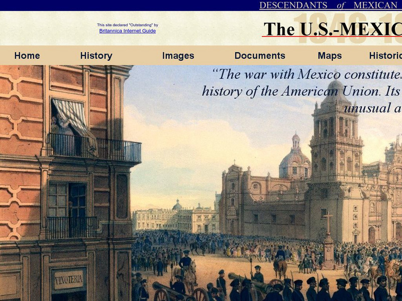
Dmwv: The u.s. Mexican War: 1846 1848
Dedicated to the memory of U.S. veterans who fought in the U.S.-Mexican War, this website provides documents, images, maps, and FAQs.
US Army Center
U.s. Army Center of Military History: The Mexican War and After
This site from the U.S. Army's Center of Military History offers a detailed account of the Mexican War and its important battles as well as a description of what occurred after the war.
Other
Si Puebla: Pictures of Puebla
Dozens of pictures of the city Puebla, and a very quick review of the history of the city.
Encyclopedia Britannica
Encyclopedia Britannica: Guadalajara
Encyclopedia Britannica provides a historical review of Guadalajara. Citation for MLA and APA style are available at the bottom of the page.
Other
Different World Travel: Chichen Itza
This article for tourists visiting the Mayan and Toltec city of Chichen Itza features information about the site's access and history.
US Army Center
U.s. Army Center of Military History: Winfield Scott
From the book, "Commanding Generals and Chiefs of Staff," by William Gardner Bell, this brief biography of Winfield Scott lists the dates of his many military accomplishments, including his successful capture of Mexico City, ending the...
A&E Television
History.com: This Day in History: Stephen Austin Imprisoned by Mexicans
Read this short account of when the Mexican government imprisoned the Texas colonizer Stephen Austin in Mexico City.
Illustrative Mathematics
Illustrative Mathematics: 6.rp Currency Exchange
Students use ratio and rate to answer this performance task: Joe was planning a business trip to Canada, so he went to the bank to exchange $200 U.S. dollars for Canadian dollars (at a rate of $1.02 CDN per $1 US). On the way home from...
Curated OER
Etc: Maps Etc: Mexico, Central America and the West Indies, 1852
A map from 1852 of Mexico, Central America, and the West Indies. The map shows territorial boundaries at the time, including the Mexican States, capitals and major cities and ports, railroads, rivers, lakes, mountain systems, and terrain...
Curated OER
Educational Technology Clearinghouse: Maps Etc: Mexico, 1906
A map from 1906 of Mexico showing the states, major cities and towns, railroads, mountains, and coastal features. An inset map shows the City of Mexico and vicinity, including the lakes, railroads, mountains, and neighboring cities.
Curated OER
Educational Technology Clearinghouse: Maps Etc: Mexico, 1902
A map from 1902 of Mexico showing the states and state capitals, major cities and towns, trunk and secondary railroad lines, mountains, and coastal features. This map shows isotherms of mean annual temperature in degrees Fahrenheit, and...
Curated OER
Educational Technology Clearinghouse: Maps Etc: Mexico, 1904
A map from 1904 of Mexico showing the states, major cities and towns, railroads, mountains, and coastal features. An inset map shows the island of Cuba. "Mexico is divided into twenty-seven States with two Territories and the federal...
Curated OER
Educational Technology Clearinghouse: Maps Etc: Mexico, 1914
A map from 1914 of Mexico showing the states and state capitals, major cities and towns, railroads, mountains, rivers, lakes, and coastal features of the country. A grid-key in the margin references the locations of states and...
Curated OER
Educational Technology Clearinghouse: Maps Etc: Mexico, 1920
A map from 1920 of Mexico showing the states and state capitals, major cities and towns, existing and proposed railroads, mountains, rivers, lakes, and coastal features of the country. A grid-key in the margin references the locations of...
Curated OER
Etc: Maps Etc: General Scott's Campaign in Mexico, 1847
A map of the 1847 campaign of General Scott from Veracruz to the City of Mexico during the Mexican-American War (1846-1848). The map shows the battle site of the Castle of San Juan Ulloa, Cerro Gordo, Molino Del Rey, Chapultepec, Casa...
Curated OER
Unesco: Mexico: El Tajin, Pre Hispanic City
Located in the state of Veracruz, El Tajin was at its height from the early 9th to the early 13th century. It became the most important centre in north-east Mesoamerica after the fall of the Teotihuacan Empire. Its cultural influence...
Curated OER
Unesco: Mexico: Pre Hispanic City of Chichen Itza
This sacred site was one of the greatest Mayan centres of the Yucatan peninsula. Throughout its nearly 1,000-year history, different peoples have left their mark on the city. The Maya and Toltec vision of the world and the universe is...
Curated OER
Educational Technology Clearinghouse: Maps Etc: War With Mexico, 1846 1848
A map of Mexico and southern United States showing the campaigns and battle sites of the Mexican-American War (1846-1848). The map shows the territory acquired from Mexico after the war, and the routes of Taylor, Wool, Kearny, Doniphan,...
Other popular searches
- Mexico City and Countryside
- Mexico City Map
- Population Mexico City
- Pollution in Mexico City
- Mexico City Class Projects
- Mexico City Earthquake
- Mexico City Bus Tour
- Environment Mexico City
- Mexico City and Pollution
- Mexico City Air Pollution
- Mexico City Air Polution


