Curated OER
Etc: Maps Etc: Population of North America, 1898
A map from 1898 showing the population distribution of North America, Central America, and Caribbean to Puerto Rico. The map shows areas of sparse to heavily populated concentrations at the time. "Many thousands of white men from western...
Curated OER
Etc: Maps Etc: Population Distribution of North America, 1921
A base map from 1921 of North America, Central America, and the Caribbean showing the general population distribution in Alaska, Greenland, Dominion of Canada, United States, Mexico, and Central America at the time. People are most...
Khan Academy
Khan Academy: Rivera, Dream of a Sunday Afternoon in Alameda Central Park
"In Dream of a Sunday Afternoon in Alameda Central Park", hundreds of characters from 400 years of Mexican history gather for a stroll through Mexico City's largest park. View pictures of this Diego Rivera painting and read about the...
Khan Academy
Khan Academy: Bernardino De Sahagun and Collaborators, Florentine Codex
The Florentine Codex contains an unparalleled wealth of information regarding the people and culture of central Mexico immediately preceding the Conquest and its discussion of the Conquest itself. View pictures and descriptions of the...
Sacred Text Archive
Internet Sacred Text Archive: The Popol Vuh
This is an extract from an English translation of the Popol Vuh, the mythic and heroic sagas of the Kiches of Central America.
Walled Lake Consolidated Schools
Loon Lake Elementary School: Hernando Cortes
A biography of Hernando Cortes (or Cortez) (1485 -1547), a Spanish adventurer who conquered what is now central and southern Mexico. His seizure of land, power, and wealth made him the greatest Spanish conqueror in the Americas. His...
Curated OER
Educational Technology Clearinghouse: Maps Etc: North America, 1800
A map of North America and Central America showing territorial claims and possessions in 1800. The map is color-coded to show the territories of the United States, British, Spanish, French, and Russians, and indicates areas of disputed...
Other
Spanish Abroad, Inc.
This resource provides information about Spanish language study abroad programs throughout Latin America and Spain.
Massachusetts Institute of Technology
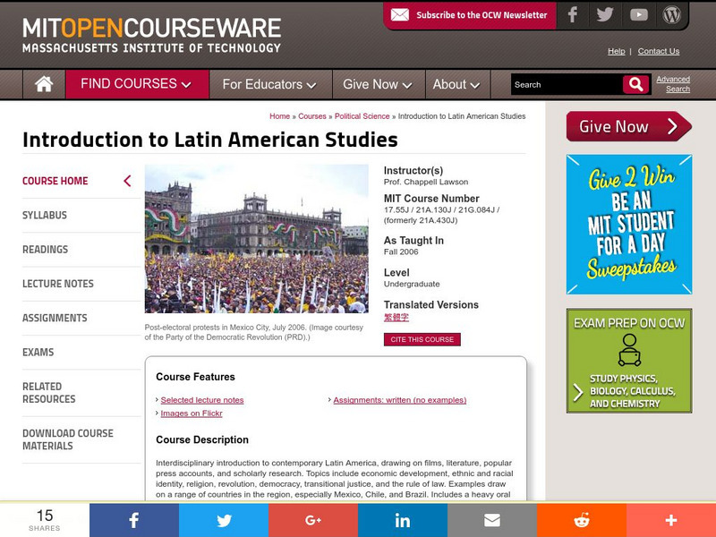
Mit: Open Course Ware: Introduction to Latin American Studies
An assortment of classroom resources introducing Latin American Studies, including a syllabus, readings (some are provided online), lecture notes, assignments, and exams. Learn about Latin American politics and society, past and present,...
Curated OER
Etc: Maps Etc: Heat Belts in North America, 1898
A map from 1898 showing the heat belts in North America. The map gives the boundary isotherms of the hot belt as a mean temperature of 70 degrees Fahrenheit and the cold belt as a mean temperature of 30 degrees Fahrenheit, indicating the...
Curated OER
Unesco: Mexico: Historic Town of Guanajuato and Adjacent Mines
Founded by the Spanish in the early 16th century, Guanajuato became the world's leading silver-extraction centre in the 18th century. This past can be seen in its 'subterranean streets' and the 'Boca del Inferno', a mineshaft that...
Curated OER
Educational Technology Clearinghouse: Maps Etc: Cuba and Mexico, 1903
A map from 1903 of Cuba, Isle of Pines and Jamaica, showing the provinces at the time, province capitals, major cities, towns and ports, railroads, mountains, rivers, coastal features, and smaller neighboring islands. An inset map...
Curated OER
Etc: The West Indies and Mexico, 1898 1906
A map from 1907 of Mexico, Central America, and the West Indies (Greater Antilles to Puerto Rico) between the Spanish-American War in 1898 and the Third Pan-American Conference in 1906. The map shows the political boundaries in 1906,...
Curated OER
Educational Technology Clearinghouse: Maps Etc: North America, 1915
North America including Canada, the United States, Mexico, Caribbean islands, Central America and a portion of South America, showing physical features.
Curated OER
Educational Technology Clearinghouse: Maps Etc: Rainfall in North America, 1898
A map from 1898 of North America, Central America, Greenland, and the Caribbean to Puerto Rico showing the general distribution of rainfall in the region. The map shows areas of little or no rainfall to areas of heavy rainfall. The map...
Curated OER
Educational Technology Clearinghouse: Maps Etc: North America, 1858
A map from 1858 of North America showing the boundaries at the time for Russian America (Alaska), Greenland, British America or New Britain, Canada East and Canada West, the United States, Mexico, Central America, and the West Indies...
Curated OER
Etc: Maps Etc: The Surface of North America, 1912
A base relief map from 1912 of North America, Central America, Greenland, and the Caribbean to Puerto Rico showing the general surface terrain, including mountain systems, highlands, plains, and major river systems of the region....
Curated OER
Educational Technology Clearinghouse: Maps Etc: North America, 1783
A map of North America, Central America, and northern South America at the end of the American Revolutionary War (1783). The map is color-coded to show the territory of the United States at the time, British possessions in Canada,...
Curated OER
Etc: Maps Etc: Mean Average Temperatures in North America, 1906
A map from 1906 of North America showing the mean annual isotherms of the region given in degrees Fahrenheit. "The climate of North America naturally varies greatly, depending on latitude, the general atmospheric circulation or direction...
Curated OER
Etc: Maps Etc: The United States and Neighbors, 1898
A map from 1898 of North America, Central America, Greenland, and the Caribbean to Puerto Rico, subtitled "The United States and its Neighbors in North America." The map is color-coded to show the possessions of Greenland (to Denmark),...
Khan Academy
Khan Academy: Aztec (Mexica), an Introduction
This article from The British Museum provides a short history of the Mexica (Aztec) peoples and their empire.
Khan Academy
Khan Academy: Maya, an Introduction
The Maya civilization (300-900 C.E.) was one of the most sophisticated in the pre-Columbian Americas. It extended from southeastern Mexico across modern-day Guatemala, Belize and the western parts of Honduras and El Salvador. The Maya...
Curated OER
Educational Technology Clearinghouse: Maps Etc: West Indies, 1910
A relief map from 1910 of the West Indies and Central America showing the land relief of the islands and isthmus, the extent of the submerged Florida, Bahamian, and Yucatan platforms, the basins of the Gulf of Mexico and Caribbean Sea,...
Maps of Mexico
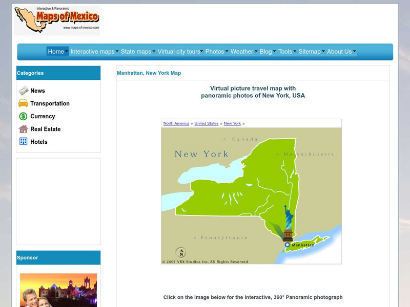
Virtual Picture Travel Map of New York
Click on New York and take a virtual tour of Manhattan. Visit places of interest such as Ellis Island, the Brooklyn Bridge, the Empire State Building, Times Square, Rockefeller Center and the Central Park Zoo. Uses popups.


