Curated OER
Waters of the Earth
Students make a striking visual display showing the distribution of water on earth.
Curated OER
SUBMARINE MOUNTAINS
Students create a two-dimensional contour map of a submerged area from a simulated survey using sounding techniques.
Curated OER
See That Sound?
Students study sonar and will explain the concept of it and its major components. For this design lesson students build a low-cost sonar system.
Curated OER
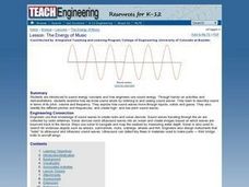
The Energy of Music
Students discover how engineers use sound energy. They participate in hands-on activities in which they discover how we know sound exists. They identify different pitches and frequencies as well.
Curated OER
Fascinating Geography Facts
In this geography worksheet, students will read 4 interesting United States geography facts and 19 fascinating world geography facts.
Curated OER
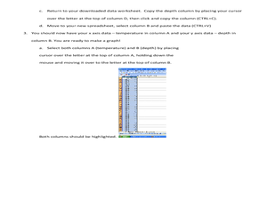
What's A Water Column Profile?
Students investigate water column data. In this earth science and seawater lesson, students determine how temperature, salinity, and density have an impact on sea water by viewing and analyzing data obtained from a number of websites....
Curated OER
At the Edge of the Continent
High schoolers study how to interpret a bathymetric map. They study the main features of the continental margin. They plot and graph bathymetric data. They think about and discuss the bathymetry of the edge of the cont
Curated OER
Where's My Bot?
Students estimate geographic position based on speed and air travel. In GPS lesson students use GPS to estimate the set and drift of currents.
Curated OER
What In The World Are Swim Bladders and Why Are They Important
In this swim bladders worksheet, students use a bowl, water, and balloons to make swim bladders, and answer short answer questions about them. Students answer 7 questions and interview someone who has been scuba diving.
Curated OER
How High Does the Atmosphere Go?
Students explain how relatively thin the atmosphere is, compared to the size of the planet, and determine the relative extent of the four major atmospheric layers.
Curated OER
Chart Interpretation
High schoolers study the use of a nautical chart and how to obtain information from it. They describe and differentiate the basic topographic characteristics of a chart and demonstrate the use of nautical tools used to plot fixed points...
Curated OER
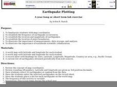
Earthquake Plotting
Learners become familiar with map coordinates. They establish the frequency of earthquake occurrences and study the location and magnitude of earthquakes. To establish the location of plate boundaries.


