Curated OER
Etc: Acquisition of Territory by the United States, 1783 1917
A map from 1922 of the United States showing the acquisition of territory from 1783 to the purchase of the Dutch West Indies (Virgin Islands) in 1917. This map is color-coded to show each of the acquisitions with map notations giving...
Curated OER
Etc: Rome & Carthage End of the Second Punic War, 218 201 Bc
A map of Rome and Carthage during the Second Punic War (218-201 BC). This map is color-coded to show the extent of the Roman Empire in yellow and the Carthaginian territory in pink. At this time, the Roman Empire was primarily restricted...
Curated OER
Etc: Cession of Native Lands, 1816 1830
A map of the United States showing the cession of Native American lands between 1816 and 1830. The map is color-coded to show the lands ceded prior to 1816, the lands ceded between 1816 and 1830 with dates of cession given, and areas...
Curated OER
Etc: Cessions of Native American Lands, 1816 1830
A map of the United States showing the cession of Native American lands between 1816 and 1830. The map is color-coded to show the lands ceded prior to 1816, the lands ceded between 1816 and 1830 with dates of cession given, and areas...
Curated OER
Etc: Greece in the Peloponnesian War, 431 404 Bc
A map of Greece and Asia Minor during the Peloponnesian War (431-404 BC), color-coded to show the territories of Athens, Sparta, and their allies.
Curated OER
Etc: England During the Saxon Period, Ad 450 1066
A map of England, Wales, and southern Scotland during the Saxon Period from around AD 450 to the beginning of the Norman Conquest in 1066. This map shows major cities of the time, major river ways, topography, and is color-coded to show...
Curated OER
Etc: Ireland During the Stuart and Brunswick Period, 1605 1714
A map of Ireland during the Stuart Period (from the ascension of King James I in1603 to the death of Queen Anne in 1714) and the Brunswick (House of Hanover) Period (from the ascension of George I as King of Great Britain and Ireland in...
Curated OER
Etc: Limits of War Territory, 1861 1865
The limits of Civil War Territory, color-coded to show changes in the limits as the war progressed.
Curated OER
Etc: The Country East of the Mississippi During the French Indian War, 1763 1783
The country east of the Mississippi during the French-Indian War, 1755-1763, color-coded to distinguish various claims to United States.
Other
Thurston High School: The Tundra Climate
Site discusses and analyzes the daily weather in the tundra. Provides a map of the world that is color-coded to show the different biomes and systems of the world.
SMART Technologies
Smart: Thirteen Colonies
Students will drag the name of each colony onto the map. Then drag the color coded stars to the New England, Middle, and Southern Colonies. Lastly, they will drag the important events to the colony in which it happened.
Curated OER
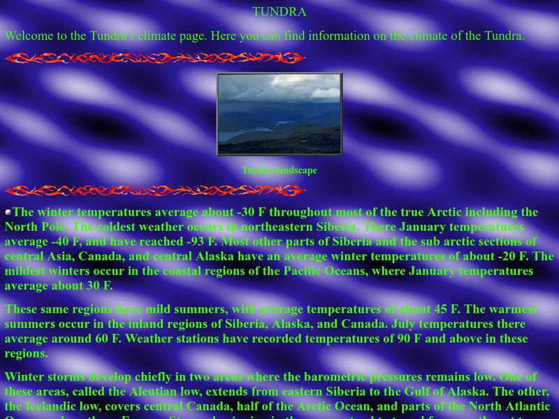
Thurston High School: The Tundra Climate
Site discusses and analyzes the daily weather in the tundra. Provides a map of the world that is color-coded to show the different biomes and systems of the world.

