Hi, what do you want to do?
National Geographic Kids
National Geographic Kids: Find People and Places: Italy
Click-through facts-and-photo file about the geography, nature, history, people, culture, and government of Italy. Includes a map of this Western European country that pinpoints the location of this boot-shaped peninsula.
Nations Online Project
Nations Online: Denmark
Comprehensive reference tool that takes you on a virtual trip to the Kingdom of Denmark. Background overview is given on its art, culture, people, environment, geography, history, economy, and government. There are numerous links...
Nations Online Project
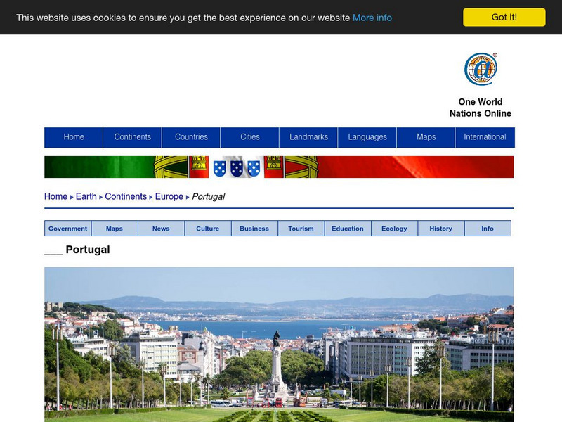
Nations Online: Portugal
Excellent online resource that provides a country profile of the Southwestern European nation of Portugal, background details, and numerous links to in-depth information on the nation's culture, history, geography, economy, environment,...
Nations Online Project
Nations Online: Poland
Excellent online resource that provides a country profile of the European nation of Poland, background details, and numerous links to in- depth information on the nation's culture, history, geography, economy, environment, tourism,...
Nations Online Project
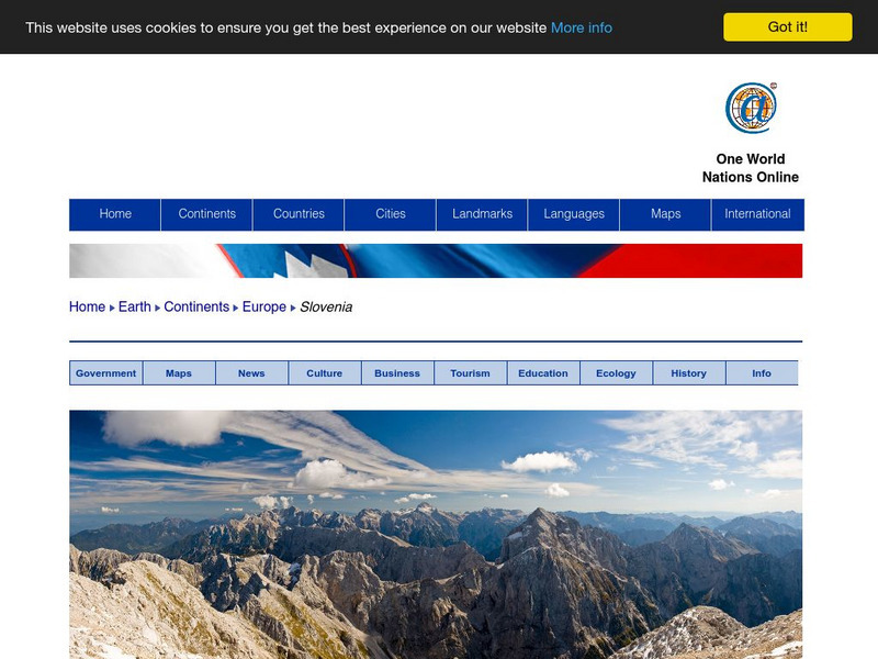
Nations Online: Slovenia
Offers a travel guide and country profile of the European nation of Slovenia including a broad overview and numerous links to comprehensive information on the nation's culture, history, geography, economy, environment, population, news,...
Curated OER
Educational Technology Clearinghouse: Maps Etc: North America, 1858
A map from 1858 of North America showing the boundaries at the time for Russian America (Alaska), Greenland, British America or New Britain, Canada East and Canada West, the United States, Mexico, Central America, and the West Indies...
Curated OER
Educational Technology Clearinghouse: Maps Etc: Russia, 1920
A map from 1920 of western Russia showing the political divisions within the country at the time. The map is color-coded to show the boundaries of European Russia, including the territories of Finland, the Baltic Provinces, Poland, White...
Curated OER
Educational Technology Clearinghouse: Maps Etc: The Italian States, 1806
"By his victory at Austerlitz and his treaty with Prussia, Napoleon became absolute arbiter of matters affecting Italy and Central Europe.
Curated OER
Educational Technology Clearinghouse: Maps Etc: North America, 1885
A map from 1885 of North America, Central America, Greenland, and the Caribbean showing political boundaries at the time, major cities, mountain systems, lakes, rivers, and coastal features of the region. Ship routes from San Francisco...
Curated OER
Maps Etc: The Colonization of Africa, 1870 1910
A map showing the European colonization of the African continent before and after the Berlin Conference of 1885, when the most powerful countries in Europe at the time convened to make their territorial claims on Africa and establish...
Curated OER
Educational Technology Clearinghouse: Maps Etc: Vegetation of Asia, 1915
Showing vegetation throughout Europe.
Curated OER
Educational Technology Clearinghouse: Maps Etc: The Railways of Asia, 1919
A map from 1919 of the railways networks in Asia at the time, showing trunk or main railways with heavy black lines, and lesser railways with lighter lines. A chart at the bottom of the map shows a comparison of the number of square...
Curated OER
Etc: Maps Etc: Population of North America, 1898
A map from 1898 showing the population distribution of North America, Central America, and Caribbean to Puerto Rico. The map shows areas of sparse to heavily populated concentrations at the time. "Many thousands of white men from western...
Other
Smis: Daily Satellite Photo: European Russia, Western Siberia, North East Europe
This site offers weather maps for three areas: European Russia, Western Siberia, and Northeast Europe. The maps show very current weather conditions for each area.
Other
Paleomap Project
Virtual reality animation map showing continental drift from 200mya to the present. The animation map is small but effective in showing the positions of the land masses.
Nations Online Project
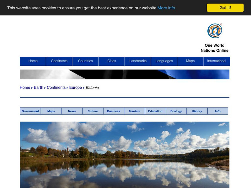
Nations Online: Estonia
Great reference source that takes you on a virtual trip to the Eastern European country of Estonia. Background overview is given on its art, culture, people, environment, geography, history, economy, and government. There are numerous...
ClassFlow
Class Flow: Continents of the World
[Free Registration/Login Required] This flipchart is devoted to identifying, locating, and learning facts about the 7 continents. It contains interactive maps, facts, and a short video at the end.
Curated OER
Map of Poland
Information about the history of Poland includes details about the De-Stalinization of Poland and the regime of First Secretary Wladyslaw Gomulka.
Friesian School
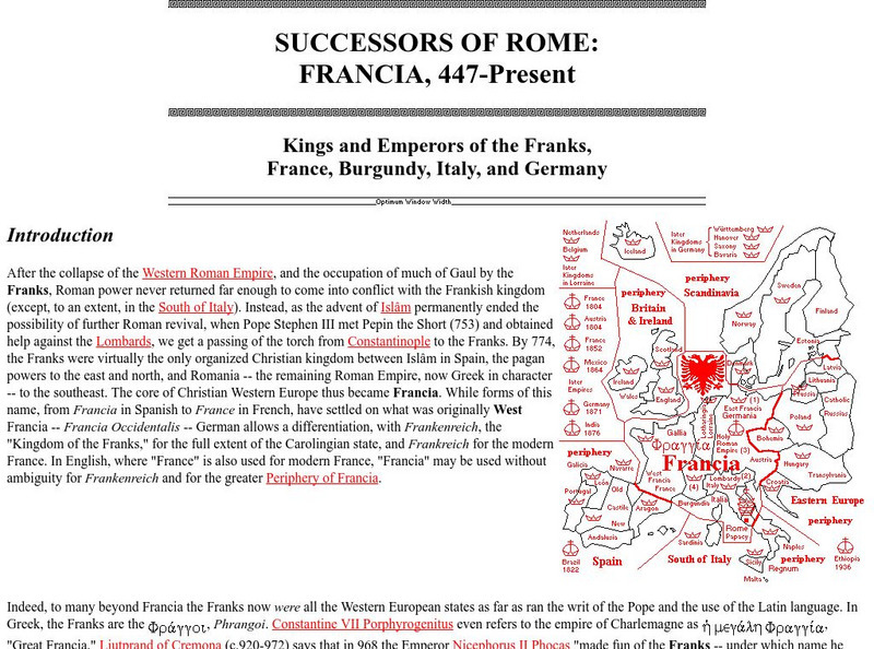
Friesian School: Successors of Rome: Francia, 447 Present
The Friesian School gives a description of the Kings and Emperors of France and the Frank influence in northern Europe. There are also detailed maps.
Nations Online Project
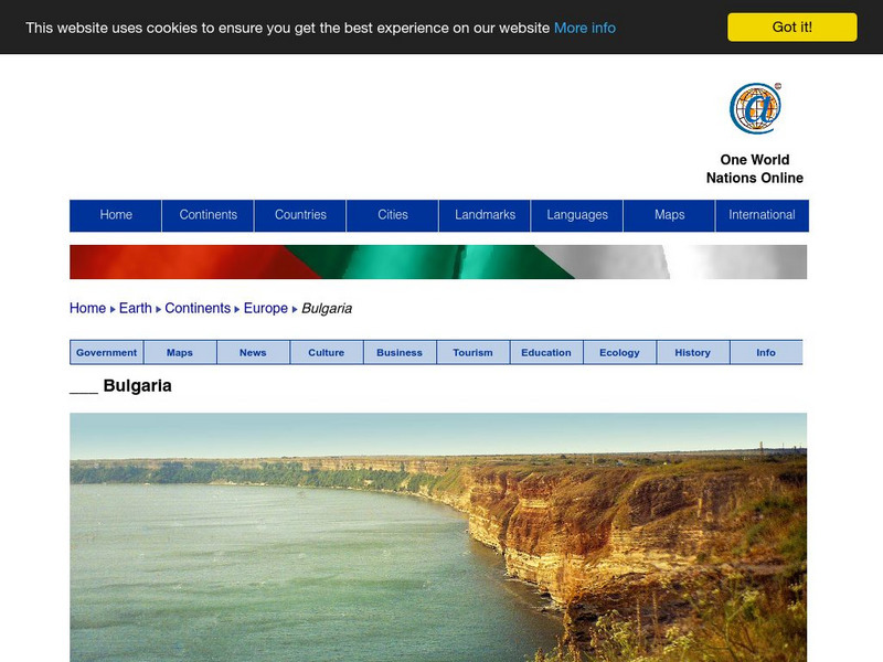
Nations Online: Bulgaria
Portrays a country profile and travel guide to Bulgaria, background overview, and numerous links to extensive information on the nation's culture, history, geography, economy, environment, tourism, population, news, government, and much...
Other
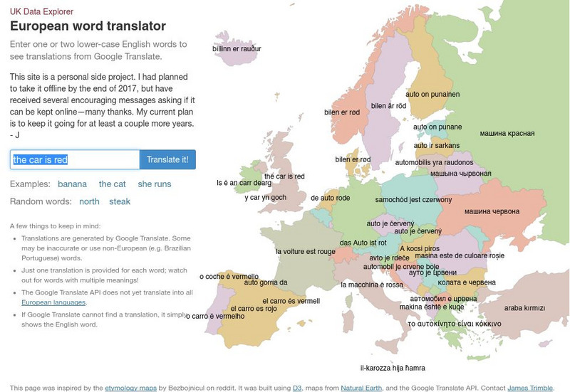
Uk Data Explorer: European Word Translator
Enter one or two lower-case English words to see translations from Google Translate. The translations are superimposed onto the related countries in a map of Europe.
Curated OER
National Geographic: Europe: Poland
Welcome to Poland! Follow this interactive overview of the country's history, geography, people, government, nature, and more. A map andvideo are included. Adobe Flash Required.
Curated OER
National Geographic: Europe: Sweden
Welcome to Sweden! Follow this interactive overview of the country's history, geography, people, government, nature, and more. A map andvideo are included. Adobe Flash Required.
Georgia Department of Education
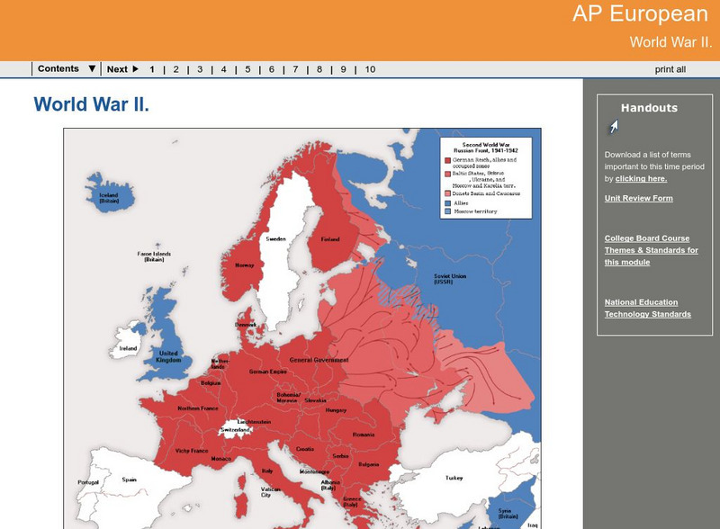
Ga Virtual Learning: Ap European: World War Ii
AP European History learning module on World War II traces the beginnings of the war from a dissillusioned Europe through the course of the war. Module includes assignments, enrichment activities, downloads, maps and assessment for...
Other popular searches
- Blank Maps of Europe
- Outline Maps of Europe
- Geography Maps of Europe
- Maps of Europe 1914
- Maps of Europe Political
- Maps of Europe Ppt
- Maps of Europe Pot
- Maps of Europe 1919
- Topography Maps of Europe
- Blank Maps of Europerating=3
- Maps of European Renaissance
- Blank Maps of Europe Cold War


