Hi, what do you want to do?
Curated OER
Etc: Claims of Various European Countries to the Us, 1643 1655
A map of the eastern coast of North America showing territorial claims of Europeans and the development of the United Colonies of New England (New England Confederation) in 1643, and the territorial changes between the Dutch and British...
Curated OER
Educational Technology Clearinghouse: Maps Etc: South America, 1898
A map of South America in 1898. The map shows capitals and major cities, railroads, terrain, rivers, and coastal features, and includes an insert map of the Isthmus of Panama. "The chief industries in South America are herding,...
Curated OER
Educational Technology Clearinghouse: Maps Etc: Vegetation in Europe, 1898
A map showing Vegetation in Europe as of 1898. "The great agricultural regions are (1) the northern lowland from the Atlantic eastward through southern Russia, and (2) the broad fertile valleys of the Danube, the Po, the Rhone, and the...
Curated OER
Principal Railway and Steamship Routes, Central Europe and Mediterranean, 1910
Map shows principal railways and steamship routes throughout Central Europe and the Mediterranean Sea in 1910. This map also shows major cities and rivers, and uses the Mercator's Projection.
Curated OER
Etc: Maps Etc: Density of Population in Europe, 1901
Map showing density of population in Europe.
Curated OER
Etc: Maps Etc: Production of Sugar Beets in Europe, 1916
A map showing the production of sugar beets in Europe in 1916.
Curated OER
Etc: Europe During the Time of Napoleon I, 1804 1814
Europe, during the Time of Napoleon 1.
Curated OER
Etc: Maps Etc: European Population Density, 1916
A 1916 map showing the distribution of population in Europe as inhabitants per square mile.
Lonely Planet
Lonely Planet: France
This Lonely Planet map of France shows the rivers and mountain ranges as well as major cities. Clicking on a site labeled in color brings the reader to information about that site. Includes Corsica.
University of Calgary
University of Calgary: Ming Dynasty's Maritime History
This site provides a discussion from the University of Calgary of the extensive maritime voyages taken during the Ming dynasty. A map is included.
National Geographic Kids
National Geographic Kids: Portugal
Follow this interactive overview of the country's history, geography, people, government, nature, and more. A map and video are included. Adobe Flash Required.
BBC
Bbc: Nato's Cold War Roots
A fantastic history of NATO. From its inception after WWII to its call to action during the Kosovo crisis, the BBC does a great job of giving readers a well-rounded look at the institution. Includes a map with all member countries as...
ClassFlow
Class Flow: European Capitals Quiz
[Free Registration/Login Required] Using the Activote system, students will look at a map of Europe to identify the country and then select that country's capital city. There are 28 questions.
US Army Center
U.s. Army Center of Military History: The Centennial: Omar Nelson Bradley
This lengthy biography of General Omar Bradley was written on the centennial of his birth. It traces his life as a military man through World War I, World War II, and Chairman of the Joint Chiefs of Staff. Included is a map that shows...
SMART Technologies
Smart: World Map
This lesson features a world map with labeled countries, a global map, and an interactive map of the seven continents.
Other
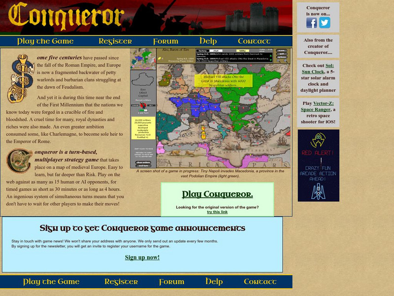
Conqueror
Conqueror is a multiplayer strategy game that takes place on a map of medieval Europe at the end of the first millennium. A player takes control of a certain nation based on the European map and plays against either Al or other players...
Nations Online Project
Nations Online: Greece
Offers an excellent online resource and country profile of Greece located in Southern Europe, background overview, and numerous links to comprehensive information on the country's culture, history, geography, economy, environment,...
Nations Online Project
Nations Online: Austria
Features a country profile of Austria, background details, and numerous links to comprehensive information on the country's culture, history, geography, economy, environment, population, news, government, maps, and much more tourism...
National Geographic Kids
National Geographic Kids: Greece
Click-through facts-and-photo file about Greece's geography, nature, history, people and culture, and government. Includes a map of the country that pinpoints its European location and a video about the Parthenon, an ancient temple built...
National Geographic Kids
National Geographic Kids: Iceland
Click-through facts-and-photo file about Iceland's geography, nature, history, people and culture, and government. Includes a map of the country that pinpoints its European location.
National Geographic Kids
National Geographic Kids: Switzerland
Click-through facts-and-photo file about Switzerland's geography, nature, history, people and culture, and government. Includes a map of the country that pinpoints its European location.
National Geographic Kids
National Geographic Kids: Turkey
Click-through facts-and-photo file about Turkey's geography, nature, history, people and culture, and government. Includes a map of the country that pinpoints its European location and a video on the Turkish city of Istanbul.
Nations Online Project
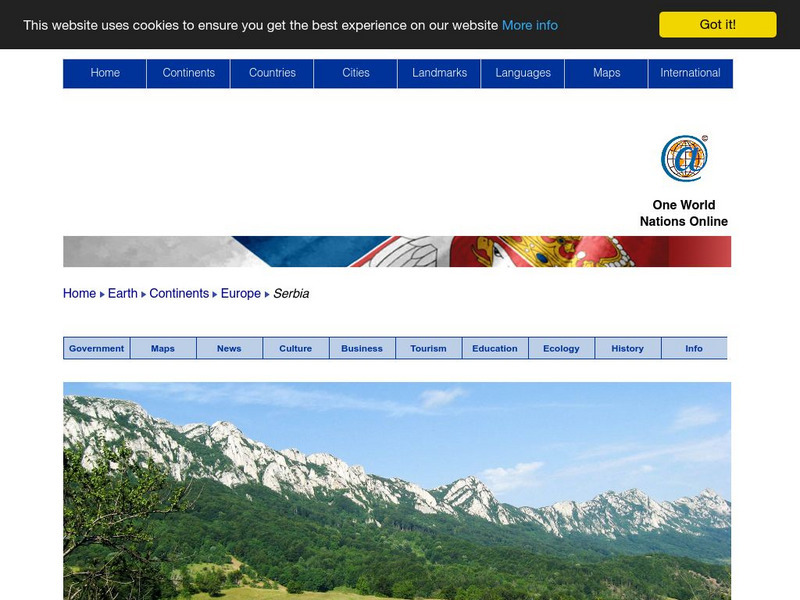
Nations Online: Serbia
Offers a virtual travel guide and country profile of Serbia, background overview, and numerous links to key information on the nations's culture, tourism, history, geography, economy, environment, population, news, government, and much...
National Geographic Kids
National Geographic Kids: The Netherlands
Click-through facts-and-photo file about the geography, nature, history, people, culture, and government of the Netherlands. Includes a map of the country that pinpoints its European location on the western coast of the continent.
Other popular searches
- Blank Maps of Europe
- Outline Maps of Europe
- Geography Maps of Europe
- Maps of Europe 1914
- Maps of Europe Political
- Maps of Europe Ppt
- Maps of Europe Pot
- Maps of Europe 1919
- Topography Maps of Europe
- Blank Maps of Europerating=3
- Maps of European Renaissance
- Blank Maps of Europe Cold War


