Hi, what do you want to do?
Curated OER
Carver, Jonathan 1781, New Map of North America
"The David Rumsey Historical Map Collection focuses on rare 18th and 19th century North and South America cartographic history materials. Historic maps of the World, Europe, Asia and Africa are also represented. The collection categories...
Curated OER
Map of Ukraine
BBC News provides an extensive overview of Europe's second largest country, Ukraine. Focus is on history, current information, country facts, political leaders, and news media. Provides links to a timeline of key events, recent news...
Other
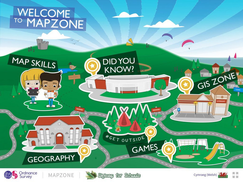
Ordnance Survey: Map Zone
All kinds of fun and interesting ways to learn about maps and acquire mapping skills.
Other
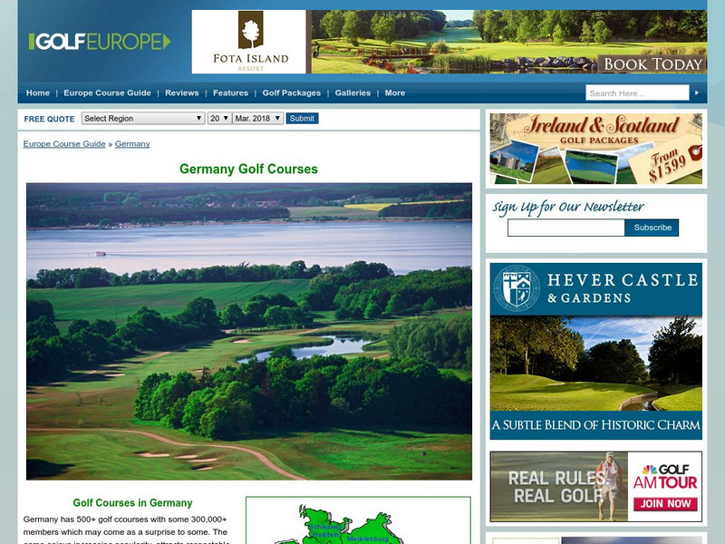
Golf Europe: Golf Clubs in Germany/other
"Germany has 500+ golf clubs with some 300,000+ members which may come as a surprise to some. The game enjoys increasing popularity, attracts respectable sponsorship money and boastsone of the the finest European golfers ever, in the...
Other
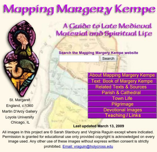
Mapping Margery Kempe: Guide to Late Medieval Material
Margery Kempe's spiritual biography is often called the first autobiography in English this provides access to the material culture of Kempe's 15th century world.
Encyclopedia of Earth
Encyclopedia of Earth: British Indian Ocean Territory (United Kingdom)
Provides an overview of British Indian Ocean Territory (United Kingdom), including its geography, natural resources, history, government, economy, and much more. Maps and images are also included, along with sources used to create the...
United Nations
Unesco: Longobards in Italy: Places of Power (568 774 Ad)
The Longoboards buildings reflect the accomplishments of the Lombards, a Germanic culture originally from northern Europe. These early medieval buildings are located across the Italian Peninsula and date from the 6th to 8th centuries....
University of Iowa
University of Iowa Libraries: The Atlas of Early Printing
View this interactive reference tool to learn about the history of printing in Europe during the fifteenth century. Features a map that displays layers of information that can be viewed together or individually along with a timeline of...
National Geographic
National Geographic: Looking Back, Looking Forward
Lesson reviews what students have learned in the unit on European cultural and physical landscape. Students compare maps, questions and ideas from the beginning of the unit and identify new questions for research.
Curated OER
Etc: Maps Etc: Russia in Europe and Caucasia, 1920
A map of European Russia and the Caucasia at the end of World War I, showing province boundaries at the time, and the conjectural boundaries of the new states at the time the map was made given in red outline. These new states include...
Curated OER
Etc: Division of the Ottoman Empire in Europe, 1912 1913
A map of the Ottoman Empire and the division of its European territories after the two Balkan Wars between 1912 and 1913. The map shows the Turkish territories as the Balkan League (Bulgaria, Greece, Serbia, and Montenegro) intended to...
Curated OER
Educational Technology Clearinghouse: Maps Etc: Asia, 1920
A map of Asia from 1920 showing country boundaries at the time, foreign possessions, major cities, rivers, lakes, terrain, islands, and coastal features. This map shows the principal railways of the region with connections to Europe, and...
Curated OER
Educational Technology Clearinghouse: Maps Etc: Pre Colonial Africa, 1872
A map of Africa showing the continent prior to the Berlin Conference of 1885, when the most powerful countries in Europe at the time convened to make their territorial claims on Africa and establish their colonial borders at the start of...
Curated OER
Educational Technology Clearinghouse: Maps Etc: Asia, 1920
A map of Asia from 1920 showing country boundaries at the time, foreign possessions, major cities, rivers, lakes, terrain, and coastal features. This map shows the principal railways of the region with connections to Europe, and...
Curated OER
Educational Technology Clearinghouse: Maps Etc: Asia, 1899
A map of Asia from 1899 showing country boundaries at the time, foreign possessions, capitals and major cities, rivers, canals, lakes, deserts, terrain, and coastal features. This map shows the principal railways and caravan routes of...
Curated OER
Educational Technology Clearinghouse: Maps Etc: British Isles, 1906
A map of the British Isles from 1906, showing the terrain, rivers, and coastal features of Ireland, Scotland, England, and Wales. Major cities are shown, and the map includes an inset map of the Shetland and Orkney Islands, a locator map...
Curated OER
Educational Technology Clearinghouse: Maps Etc: Pre Colonial Africa, 1885
A map of the African continent prior to the Berlin Conference of 1885, when the most powerful countries in Europe at the time convened to make their territorial claims on Africa and establish their colonial borders at the start of the...
Curated OER
Etc: Maps Etc: Africa Before the Berlin Conference, 1884
This is an interesting map of Africa showing the continent before the Berlin Conference of 1885, when the most powerful countries in Europe at the time convened to make their territorial claims on Africa and establish their colonial...
Curated OER
Educational Technology Clearinghouse: Maps Etc: Asia, 1912
A map of Asia from 1912 showing country boundaries at the time, foreign possessions, major cities, rivers, lakes, terrain, and coastal features. This map shows the principal railways of the region with connections to Europe. This map...
Curated OER
Educational Technology Clearinghouse: Maps Etc: England, Ad 550
A map of England and Wales in AD 550, after the departure of the Romans (AD 410) and during the migration of the Angles, Saxons, and Jutes from Europe. The map is color-coded to show the territories of the native Britons or Welsh,...
Curated OER
Etc: Maps Etc: Africa Before the Berlin Conference, 1882
A map of Africa as it was known in 1882 before the Berlin Conference of 1885, when the most powerful countries in Europe at the time convened to make their territorial claims on Africa and establish their colonial borders at the start of...
Curated OER
Educational Technology Clearinghouse: Maps Etc: North America, 1763
A map of eastern North America and the Greater Antilles showing the territorial possessions adjusted by the Peace of 1763 (Treaty of Paris) at the end of the French and Indian War (and the Seven Year War in Europe). The map is...
Curated OER
Educational Technology Clearinghouse: Maps Etc: The Barbary States, 1802 1805
A map of the Mediterranean Sea region showing the Barbary States and southern Europe at the time of the Tripolitan War (First Barbary War - 1801-1804) between the United States and the North African Ottoman Empire regencies. The map...
Other popular searches
- Blank Maps of Europe
- Outline Maps of Europe
- Geography Maps of Europe
- Maps of Europe 1914
- Maps of Europe Political
- Maps of Europe Ppt
- Maps of Europe Pot
- Maps of Europe 1919
- Topography Maps of Europe
- Blank Maps of Europerating=3
- Maps of European Renaissance
- Blank Maps of Europe Cold War


