Curated OER
Etc: Europe During the Crusades, 1095 1270
A Map of Europe during the Crusades period showing the various lands and kingdoms including the German Empire, France, Kingdoms of Norway and Sweden, Republic of Novgorod, Kaptchak, Prussia, Saxony, Kingdom of Austria, Lombardia, the...
Curated OER
Educational Technology Clearinghouse: Maps Etc: Modern Europe, 1910
A map of Europe, as it was in 1910, showing country borders, major rivers, cities, and historic battle sites.
Curated OER
Educational Technology Clearinghouse: Maps Etc: Animals of Europe, 1906
A pictorial map of Europe showing typical animals found in the various regions.
Curated OER
Educational Technology Clearinghouse: Maps Etc: Napoleonic Europe, 1799 1815
A map of Europe during the time of Napoleon I, showing kingdoms and grand duchies, territorial and sea borders, major rivers, major cities, and capitals.
Curated OER
Educational Technology Clearinghouse: Maps Etc: Land Elevations of Europe, 1906
A physical map of Europe showing land elevations from below sea level, lowlands, elevations over 1,000 feet, and elevations over 4,000 feet. Plains, highlands, major rivers, and political divisions are shown.
Curated OER
Etc: Europe at the Time of the Reformation, 1517 1648
Map of Europe at the time of The Protestant Reformation movement from Martin Luther in 1517 to the Peace of Westphalia in 1648. Shows major cities of the time, major river ways, topography, political boundaries. This map illustrates the...
Curated OER
Etc: Maps Etc: Physical and Cultural Geography of Europe, 1915
Six maps of Europe showing the average rainfall, the major climate zones, agricultural products (rye, corn, wheat, rice, and sugar beets), industrial products (iron, textile, and coal), ethnic groups, and religions.
Curated OER
Etc: Europe During Napoleon's Campaigns, 1796 1815
A map of Europe at the time of Napoleon and his campaigns (1796-1815), showing the political boundaries at the time, and the routes of The First Italian Campaign with the battle sites of Lodi and Arcole, and the Treaty of Campo Formio...
Curated OER
Etc: Europe Illustrating the Wars of French Rev and Napoleon's Wars, 1715 1830
This is a map of Europe illustrating the Wars of the French Revolution and Napoleon's Wars, 1715 to 1830.
Curated OER
Etc: Europe Thirty Years War and the Wars of the Spanish Succession, 1618 1714
This is a map of Europe including the Thirty Years War and the Wars of the Spanish Succession, 1600-1714. Shows major cities of the time, major river ways, topography, political boundaries. Scale in English miles. There is an insert of...
Curated OER
Etc: Map Illustrating Campaigns of Napoleon, 1793 1815
A map of Europe showing major cities and sites (with dates) of conquest.
Other
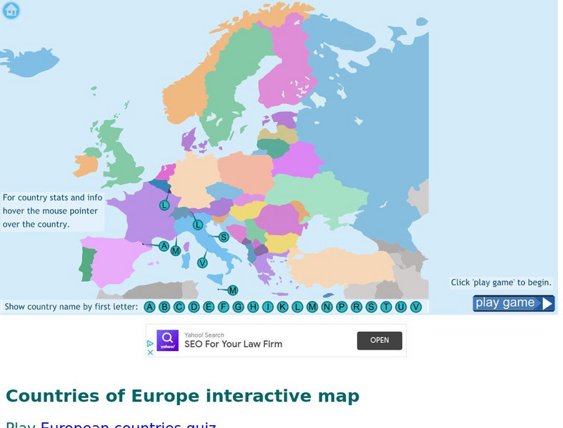
Seterra: Europe: Countries Map Quiz Game
Test your geographical knowledge of Europe and see if you can place all the countries of Europe in their correct spot!
Digital Dialects
Digital Dialects: Geography Games: Countries of Europe
Study a map showing the countries in Europe, and then try to match their names to their locations on a blank map.
That Quiz
Geografia Europa: That Quiz: Europe
Interactive practice to learn the countries of Europe. It keeps track of right and wrong answers and the time in which it takes to identify the maps.
Ducksters
Ducksters: Geography Games: Capital Cities of Europe
Play this fun geography map game to learn about the capital cites of the countries of Europe.
Other
Historical Maps: Map of Carolingian Empire
Contains a map and brief description of the Carolingian Empire in 814.
National Geographic Kids
National Geographic Kids: Portugal
Follow this interactive overview of the country's history, geography, people, government, nature, and more. A map and video are included. Adobe Flash Required.
Other
The Castles of Wales
This resource includes an index and maps of castles in Wales, plus essays, glossary of castle words, FAQ's, plus other information related to castles.
Other
Stones of Wales
This is an interactive map of Wales, if you click on the major cities, links are provided to give more information.
Other
Stones of Wales
This is an interactive map of Wales, if you click on the major cities, links are provided to give more information.
Other
The Ancient Theatre Archive
Pictoral tour of ancient Greek and Roman theaters. Click on particular countries on the map of Europe to zoom into them. Then click on particular cities for pictures and brief descriptions of theaters within them.
Curated OER
University of Texas: Relief Map of Sweden
This page provides a map of Sweden, identifying major cities, railroads, highways & boundaries. From the Perry Castaneda Collection.
Library of Congress
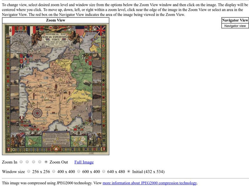
Loc: American Memory: Historical Map American Expeditionary Force
Explore this interesting historical map drawn by Ezra C. Stiles that showed the American Expeditionary Force in Europe during World War I.
Other popular searches
- Blank Maps of Europe
- Outline Maps of Europe
- Geography Maps of Europe
- Maps of Europe 1914
- Maps of Europe Political
- Maps of Europe Ppt
- Maps of Europe Pot
- Maps of Europe 1919
- Europe Maps
- Europe Outline Maps
- Europe Geography Maps
- Western Europe Maps


