Hi, what do you want to do?
Curated OER
Educational Technology Clearinghouse: Maps Etc: Europe, 1540
A colored outline map of Europe as it was in 1540, including the Holy Roman Empire, Lands of the Habsburgs, the Kingdom of the Two Sicilies, the Duchy of Milan, the Lands of the German Knights of Livonia, and several other powers of the...
Curated OER
Educational Technology Clearinghouse: Maps Etc: Europe, 1713
A map of Europe after the Treaty of Utrecht at the end of the War of the Spanish Succession, showing country boundaries under control of the House of Bourbon, the Spanish Bourbons, Habsburg, Guelphs, Hohenzollern, and Savoy.
Library of Congress
Loc: World War Ii Military Situation Maps
World War II Military Situation Maps contains maps showing troop positions beginning on June 6, 1944 to July 26, 1945. Starting with the D-Day Invasion, the maps give daily details on the military campaigns in Western Europe, showing the...
BBC
Bbc News: Inside Europe
This site focuses on the current events of the European Union. The items included are news stories, photos, country profiles, maps, and much more on this thorough site.
Other
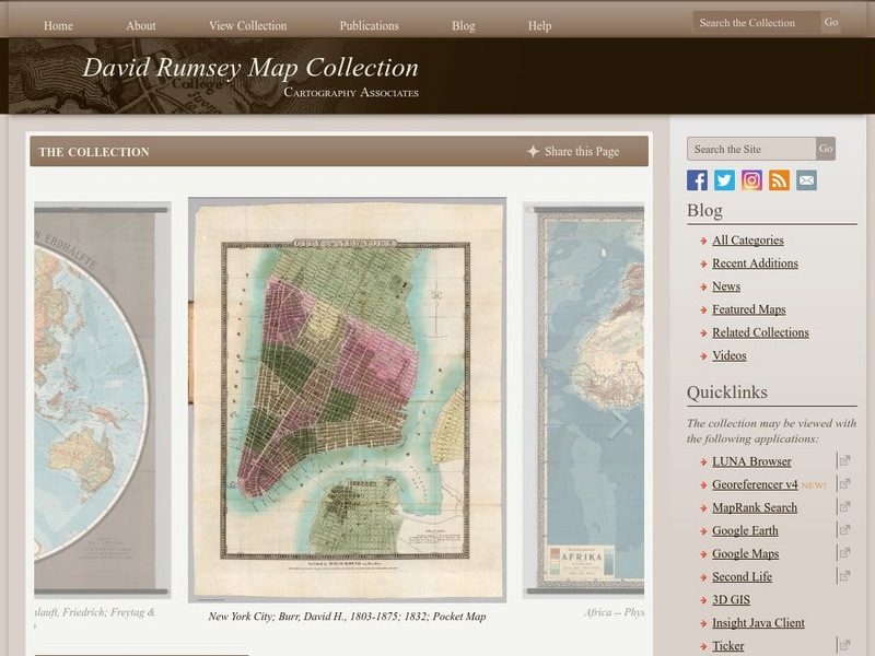
The David Rumsey Historical Map Collection
"The David Rumsey Historical Map Collection focuses on rare 18th and 19th century North and South America cartographic history materials. Historic maps of the World, Europe, Asia, and Africa are also represented. The collection...
Digital Dialects
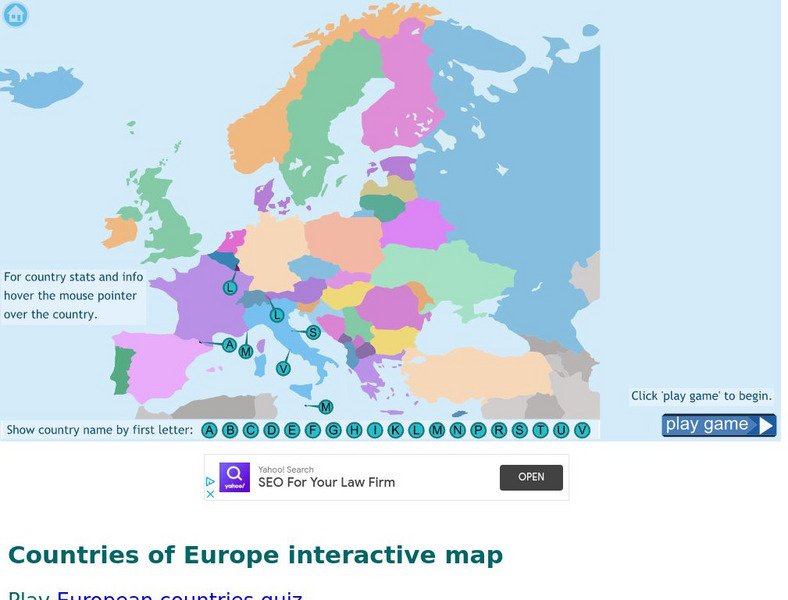
Digital Dialects: Geography Games: Countries of Europe
Study a map showing the countries in Europe, and then try to match their names to their locations on a blank map.
Other
Historical Maps: Map of Carolingian Empire
Contains a map and brief description of the Carolingian Empire in 814.
University of Oregon
Mapping History: European History
Interactive and animated maps and timelines of historical events and time periods in European history from Greek and Phoenician colonization up to the 20th century.
Curated OER
Educational Technology Clearinghouse: Maps Etc: Economic Map of Europe, 1910
A map showing the chief industries and industrial districts, coal fields, agricultural and fishing districts, major cities, navigable rivers and principal railways throughout Europe in 1910. Chief industries are indicated by letter, with...
Curated OER
Educational Technology Clearinghouse: Maps Etc: Linguistic Map of Europe, 1901
A linguistic map showing the regional identification of language groups spoken in Europe, including Celtic, Teutonic, Slavonic, Romance, Hellenic, and Turanian.
Curated OER
Etc: Language Map of Europe, 1914 1918
This map shows the divisions of language usage in World War I era Europe. Many of these languages fall into the Indo-European language family, the largest language family in the world. This family includes German, Greek, Italian,...
National Geographic Kids
National Geographic Kids: Europe: Spain
Welcome to Spain! Follow this interactive overview of the country's history, geography, people, government, nature, and more. A map and video are included.
National Geographic Kids
National Geographic Kids: Europe: United Kingdom
Welcome to the United Kingdom! Follow this interactive overview of the country's history, geography, people, government, nature, and more. A map and video are included.
ClassFlow
Class Flow: Western Europe
[Free Registration/Login Required] I have created a brief flip chart to introduce my students to Western Europe. I have 3 different maps of Europe and slides on each of the Western European Countries.
Ancestry
Europe 1820
Although there is no key, the map shows provinces, country boundaries, and the German Confederation boundary of 1820.
Other
Seterra: Europe: Countries Map Quiz Game
Test your geographical knowledge of Europe and see if you can place all the countries of Europe in their correct spot!
National Geographic
National Geographic: Observing Physical and Cultural Landscapes
In this lesson, students examine photographs of Europe as they learn to distinguish between physical and cultural characteristics of a landscape, and make observations and inferences about the places and people in the photographs. They...
Curated OER
Educational Technology Clearinghouse: Maps Etc: Europe, 1901
A map from 1901 of Europe, showing the political boundaries at the time, capitals and other major cities, mountain and terrain features, lakes, rivers ,islands, and coastal features of the region. The physical division between Europe and...
Curated OER
Educational Technology Clearinghouse: Maps Etc: Europe, 1898
A map showing Europe in 1898. "Europe is composed of twenty or more independent states or countries, in nearly every one of which the people differ from those of others in language, customs, and standards of living...In Europe [there...
Curated OER
Educational Technology Clearinghouse: Maps Etc: Europe, Post Wwi, 1920
Map of Central and Western Europe after the Treaty of Versailles at the end of WWI. The map includes railroads, canals, shipping routes, major cities and capitals, and the country boundaries established by the Treaties of Versailles,...
Curated OER
Educational Technology Clearinghouse: Maps Etc: Europe and Western Asia, 1883
A map from 1883 of Europe and western Asia showing country borders and capitals, principal cities, mountain systems, and rivers.
Curated OER
Educational Technology Clearinghouse: Maps Etc: Fisheries of Europe, 1915
A map from 1915 showing the principal fishing grounds of Europe. The map shows the chief types of fish produced in the areas. The map shows principal cities and ports, railroads, rivers, and coastal features.
Curated OER
Educational Technology Clearinghouse: Maps Etc: Drainage Basins of Europe, 1916
A map showing the Atlantic, Mediterranean, Arctic, and Caspian drainage basins or watersheds of Europe. The map includes major river systems and the bodies of water they flow into.
Other popular searches
- Blank Maps of Europe
- Outline Maps of Europe
- Geography Maps of Europe
- Maps of Europe 1914
- Maps of Europe Political
- Maps of Europe Ppt
- Maps of Europe Pot
- Maps of Europe 1919
- Topography Maps of Europe
- Blank Maps of Europerating=3
- Maps of European Renaissance
- Blank Maps of Europe Cold War


