Hi, what do you want to do?
That Quiz
That Quiz: Practice Test: Europe
This resource provides a practice test which allows users to test their geographical knowledge of Europe.
Other
Stadtplandienst Map Service
A helpful tool in finding locations in Germany. Just type in an address or town/city, or click on the interactive map, and receive a map of your destination. This site is only in German.
NOAA
Noaa: Cpc: Regional Climate Maps
Provides large colorful maps of climate data about each continent for the current week, month, or previous quarter.
Other
The Castles of Wales
This resource includes an index and maps of castles in Wales, plus essays, glossary of castle words, FAQ's, plus other information related to castles.
Central Intelligence Agency
Cia: World Factbook: Regional and World Maps
Maps of major areas of the world can be downloaded here. The maps have excellent detail and are in color.
Ancestry
Europe After the Congress of Vienna, 1815
Map of Europe after the Congress of Vienna of 1815, showing the gains of Prussia, Russia, Sardinia, and Austria, as well as the boundaries of the German Confederation.
Ducksters
Ducksters: Geography Games: Capital Cities of Europe
Play this fun geography map game to learn about the capital cites of the countries of Europe.
The History Cat
The History Cat: Treaty of Versailles: Peace Returns
Describes what happened at the end of World War I - the celebrations and the unnecessary final battles - as the Big Four (France, Britain, the United States, and Italy) sat down to begin negotiations for the Treaty of Versailles....
Curated OER
University of Texas: Relief Map of Sweden
This page provides a map of Sweden, identifying major cities, railroads, highways & boundaries. From the Perry Castaneda Collection.
Curated OER
Educational Technology Clearinghouse: Maps Etc: Political Map of Europe, 1915
A map from 1915 of Europe showing the political boundaries throughout the region at the time.
Curated OER
Educational Technology Clearinghouse: Maps Etc: Orographical Map of Europe, 1915
A map from 1915 of Europe showing general land elevations above and below sea level throughout the region, mountain systems, plateaus, and plains.
Curated OER
Educational Technology Clearinghouse: Maps Etc: Economic Map of Europe, 1915
A map from 1915 of Europe showing the principal agricultural and mining districts in the region. The map shows principal cities, railroads, and rivers, and is keyed to show areas of wheat, barley, wine, silk and flax production. The...
Curated OER
Educational Technology Clearinghouse: Maps Etc: Industrial Map of Europe, 1915
A map from 1915 of Europe showing the principal industrial districts in the region. The map shows principal cities, railroads, and navigable rivers, and is keyed to show the chief industrial districts, agricultural and stock-rearing...
Curated OER
Etc: Maps Etc: Population Density Map of Europe, 1915
A map from 1916 of Europe showing the population density of the region at the time. This map is keyed to show areas of population densities ranging from under 2 inhabitants per square mile to areas of over 512 inhabitants per square mile.
Curated OER
Educational Technology Clearinghouse: Maps Etc: Relief Map of Europe, 1890
"The relief-forms of Europe are vastly more complicated than those of either the Americas, Africa, or Australia.
Other
Queen Elizabeth 1: Europe in the Age of Elizabeth
A brief synopsis of England's relationship with Spain is included in this overview of Queen Elizabeth's dealings with the rest of Europe.
Curated OER
University of Texas: Croatia: Political Map
A political map of Croatia showing its major cities and highways, county boundaries, and neighboring countries. Note that the map is from 2001 so will show Yugoslavia as a neighboring country. From the Perry Castaneda Collection.
Other
Normandie Tourisme: D Day and the Battle of Normandy
This official site provides a history of D-Day, photos, chronology, and excellent interactive maps.
Other
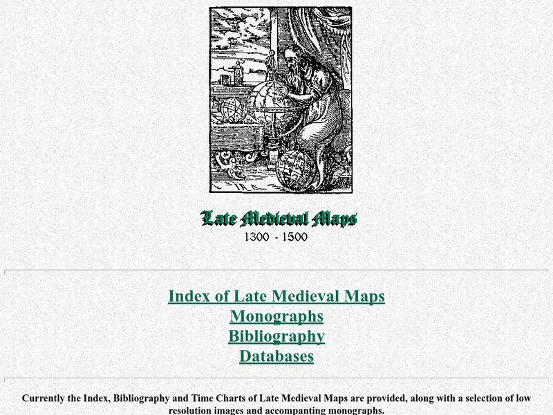
Cartographic Images: Late Medieval Maps 1300 1500
Find some incredible maps of early cartographers. What did they know of the world then? Did they know it was round? Take a look at this site.
Other
Stones of Wales
This is an interactive map of Wales, if you click on the major cities, links are provided to give more information.
Other
Stones of Wales
This is an interactive map of Wales, if you click on the major cities, links are provided to give more information.
Ducksters
Ducksters: Geography Games: Flags of Europe
Play this fun geography map game to learn about the flags of the countries of Europe.
Curated OER
Etc: Maps Etc: Europe During the Glacial Period, Glacial Period
A Map of Europe showing the extent of the ice sheets during the last glacial period, the flow direction of the ice, and the remnant glaciers found in Europe in 1916.
Other popular searches
- Blank Maps of Europe
- Outline Maps of Europe
- Geography Maps of Europe
- Maps of Europe 1914
- Maps of Europe Political
- Maps of Europe Ppt
- Maps of Europe Pot
- Maps of Europe 1919
- Topography Maps of Europe
- Blank Maps of Europerating=3
- Maps of European Renaissance
- Blank Maps of Europe Cold War


