Lonely Planet
Lonely Planet: Map of Puerto Rico
Lonely Planet provides a basic colored map of Puerto Rico including major cities and its capital.
Library of Congress
Loc: The Cultures and Histories of the Americas
An online exhibit of a vast array of documents, artifacts, and maps detailing cultures in the Americas including the indigenous groups as well as Europeans after contact. From the Library of Congress.
Other
Belize National Parks, Wildlife Sanctuaries, Monuments, Natural Reserves
This site has links to all of Belize's parks and reserves, listed alphabetically. Plus links to maps. Gives good cautionary hints and tips when in the parks.
Curated OER
Educational Technology Clearinghouse: Maps Etc: Central America, 1916
A map from 1916 of Mexico, Central America, and the West Indies, showing physical features and political boundaries at the time. The map uses color-contouring to show land elevations from sea level to over 5000 feet. The map shows...
Curated OER
Educational Technology Clearinghouse: Maps Etc: Central America, 1914 1919
Central America in 1919.
Curated OER
Etc: Maps Etc: Central America and the West Indies, 1902
Central America and the West Indies in 1902.
Curated OER
Educational Technology Clearinghouse: Maps Etc: Central America, 1861
A French map from 1861 of the Yucatan Peninsula and Central America showing the territories of native groups, the sites of ancient ruins, terrain, lakes, rivers, and coastal features of the region.
University of Oregon
Mapping History: Latin American History
Interactive and animated maps and timelines of historical events and time periods in Latin American history from 1898 to 2000.
Curated OER
Etc: Maps Etc: Mexico, Central America, and the West Indies, 1898
A map from 1898 of Mexico, Central America and the West Indies. The map includes an inset map of Cuba and the Isthmus of Nicaragua. "The surface of the Rocky Mountain highland in Mexico is quite similar to that of the great plateau...
Other
Embassy of Costa Rica in Washington, d.c.
The home of the official website of the Embassy of Costa Rica is full of excellent information about the government, geography, economy, culture, tourism, national symbols, and environment of this beautiful country. Includes photos and a...
Other
Embassy of Honduras in Washington, d.c.
This is the official website of the Embassy of Honduras in the United States. Has an abundance of information on tourist destinations and general facts on country-specific topics including art, geography, climate, government, history,...
That Quiz
Geographia America: That Quiz
Interactive map quiz for those studying the countries of the Americas. Test tracks time and show right and wrong answers.
Curated OER
Etc: Maps Etc: Physical Map of South America, 1898
A map from 1898 of South America showing the general physical features including mountain systems, prominent peaks and volcanoes, river and lake systems, plateaus, and coastal features. The map includes an insert of the Isthmus of...
Curated OER
Etc: Maps Etc: Orographical Map of North America, 1911
A map from 1911 of North America, Central America, Greenland, and the Caribbean showing mountain systems (orographical), highlands, plains, and major rivers of the region. The map uses colot-contouring to show general land elevations...
Curated OER
Etc: Maps Etc: Physical Map of South America, 1902
A map from 1902 of South America showing the general physical features including mountain systems, prominent peaks and volcanoes, river and lake systems, plateaus, and coastal features. The map is color-coded with the highlands above...
Science Struck
Science Struck: List of Latin American Countries With Their Capitals
Presents a map and list of all the Latin American countries, along with their capitals, population, land area, and names of the largest cities. (Note: Puerto Rico is a territory of the United States, not a country on its own.)
Maps of Mexico
Virtual Picture Travel Map of New York
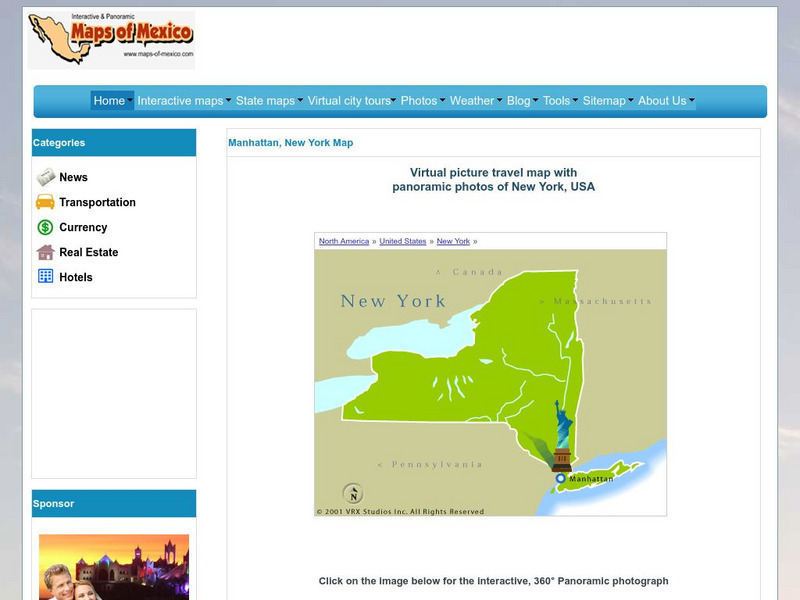
Click on New York and take a virtual tour of Manhattan. Visit places of interest such as Ellis Island, the Brooklyn Bridge, the Empire State Building, Times Square, Rockefeller Center and the Central Park Zoo. Uses popups.
Maps of Mexico
Virtual Picture Travel Map of Arizona
Travel to Arizona and take a virtual tour of Phoenix and the Grand Canyon. While in Phoenix visit places of interest such as the Roosevelt Dam, Goldfield Ghost Town and the State Capital Museum.
Maps of Mexico
Virtual Picture Travel Map of Arizona
Travel to Arizona and take a virtual tour of Phoenix and the Grand Canyon. While in Phoenix visit places of interest such as the Roosevelt Dam, Goldfield Ghost Town and the State Capital Museum.
Curated OER
Educational Technology Clearinghouse: Maps Etc: Central North America, 1755
A map of central North America showing territorial claims at the beginning of the French and Indian War in 1755. The map shows the Oregon Country, the Spanish claims to New Spain and Florida, the French claims to Louisiana and Canada,...
Curated OER
Etc: Maps Etc: North America and West Indies, 1870
A map of North America, Central America, and the Caribbean to St. Thomas and St. John islands in 1870 showing political boundaries at the time, mountain systems and terrain, rivers, and major cities. The map is color-coded to show the...
Curated OER
Educational Technology Clearinghouse: Maps Etc: South America, 1885
An orographic map of South America from 1885 showing the primary mountain systems and general elevations. The map is color-coded to show highlands in buff tint, lowlands in green, and the major mountain chains with heavy black lines. The...
Curated OER
Educational Technology Clearinghouse: Maps Etc: North America, 1783
A map of North America, Central America, and northern South America at the end of the American Revolutionary War (1783). The map is color-coded to show the territory of the United States at the time, British possessions in Canada,...
Curated OER
Educational Technology Clearinghouse: Maps Etc: North America, 1800
A map of North America and Central America showing territorial claims and possessions in 1800. The map is color-coded to show the territories of the United States, British, Spanish, French, and Russians, and indicates areas of disputed...


