Curated OER
Boa Constrictors
For this expository comprehension worksheet, students read a 1-page informational article about boa constrictors and then answer 3 short answer and 2 multiple choice questions.
Lonely Planet
Lonely planet.com: Color Map of Nicaragua
This site has a great full color map of Nicaragua complete with cities, rivers and lakes detailed. Or you can choose the "zoom out" feature and see all of Central America and the Caribbean.
Library of Congress
Loc: Online Exhibition: The Cultures and History of the Americas
Examine some of the rare books, maps, prints and other artifacts in this online exhibition. The exhibition explores several themes on the cultures and history of the Americas. The collection focuses on the period of pre-contact through...
Other
Map Town: Maps for Central America
Here are all seven Central American countries plus Mexico at a glance. Study a map or just general information about one of the countries.
University of Texas at Austin
Univerisity of Texas: Maps of the Americas
A large collection of maps of all countries in the Americas including relief maps, political maps, and reference maps.
University of Regina (Canada)
University of Regina: Math Central: Map of First Nations Peoples Pre Contact Culture Areas
A color coded map of North America which contains the regions inhabited by different aboriginal nations.
Other
Owl and Mouse: Map of Central America and the Caribbean
With this interactive map of Central America and the Caribbean, students point the mouse to different countries on the map and see the name of the country and the capital city.
University of Texas at Austin
Ut Library: Perry Castaneda Maps of Guatemala
A small collection of maps of the country of Guatemala, whose modern borders were set in 1839.
Lizard Point Quizzes
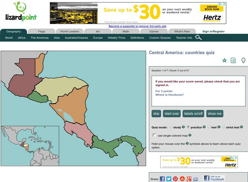
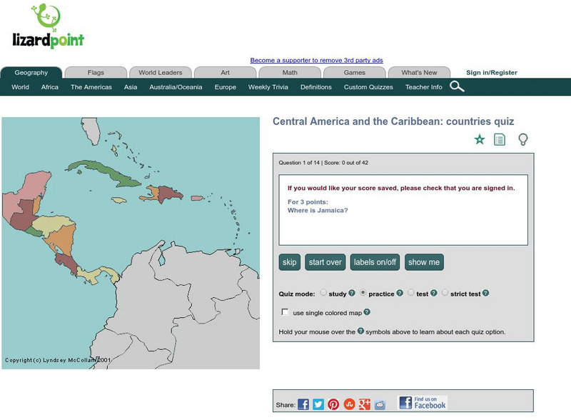
Lizard Point: Central America: Countries Quiz
Try this interactive geography quiz which tests your knowledge about the countries of Central America.
That Quiz
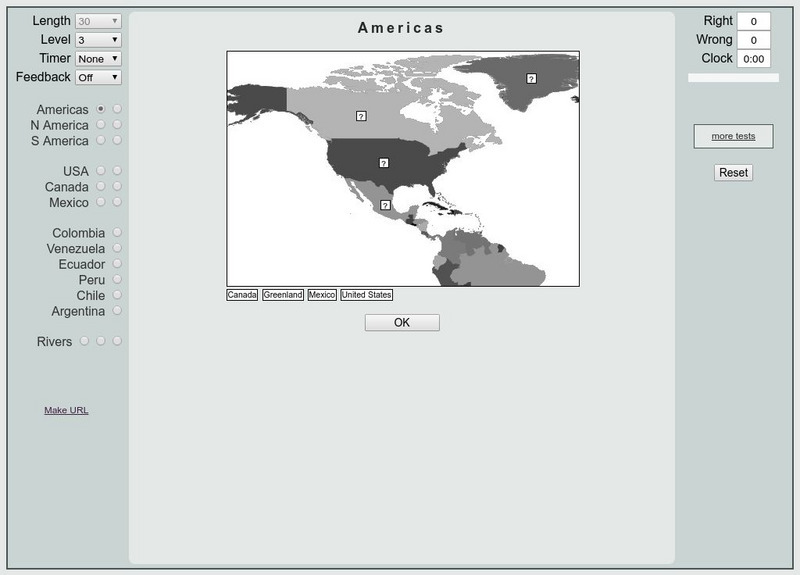
That Quiz: Practice Test: Americas
This resource provides a practice test which allows users to test their geographical knowledge of the Americas.
Lizard Point Quizzes
Lizard Point: The Central America Quiz
Take this 14 question geography quiz to test your knowledge of Central America.
Ducksters
Ducksters: Geography for Kids: Central America and the Caribbean
On this site, study the geography of the countries of Central America and the Caribbean. Facts such as flags, maps, exports, natural resources, and languages.
Central Intelligence Agency
Cia: World Factbook: Regional and World Maps
Maps of major areas of the world can be downloaded here. The maps have excellent detail and are in color.
University of Texas at Austin
Perry Castaneda Library Map Collection: Americas Historical Maps
This collection from the University of Texas Library Online of historical maps contains a wide variety of maps from various parts of the continent and from different parts of history. Each map is accompanied by a brief description and is...
Curated OER
Educational Technology Clearinghouse: Maps Etc: Central America, 1914
A map from 1914 of Central America showing political boundaries at the time, capitals and major cities, railroads, steamship routes with distances between major ports given in nautical miles, submarine telegraph cables, mountain systems...
Curated OER
Etc: Maps Etc: Central America and West Indies, 1870
A map from 1870 of Central America and the West Indies, including the Bahamas, Greater Antilles, and Lesser Antilles. The map shows the political boundaries and British possessions (shaded pink) at the time, capitals and major cities,...
Curated OER
Educational Technology Clearinghouse: Maps Etc: Central America, 1920
The countries of Central America, showing country borders, steamship routes, and telegraph lines.
Curated OER
Educational Technology Clearinghouse: Maps Etc: Central America, 1920
A map from 1920 of Central America showing political boundaries at the time, capitals and major cities, railroads, submarine telegraph cables, mountain systems, lakes, rivers, coastal features, banks or reefs, and the islands of Jamaica...
Curated OER
Educational Technology Clearinghouse: Maps Etc: Central America, 1922
A map from 1922 of Central America showing political boundaries at the time, capitals and major cities, railroads, submarine telegraph cables, mountain systems, lakes, rivers, coastal features, banks or reefs, and the islands of Jamaica...
Curated OER
Educational Technology Clearinghouse: Maps Etc: Central America, 1909
A map from 1909 of Central America showing political boundaries at the time, capitals and major cities, railroads, submarine telegraph cables, mountain systems, lakes, rivers, coastal features, banks or reefs, and the islands of Jamaica...
Curated OER
Educational Technology Clearinghouse: Maps Etc: Central America, 1912
A black and white map from 1912 of Central America showing political boundaries at the time, capitals and major cities, railroads, submarine telegraph cables, mountain systems, lakes, rivers, coastal features, banks or reefs, and the...
Curated OER
Etc: Central America and Isthmian Routes, 1846 1860
A map of Central America during the period of westward expansion in the United States when the need to find a shorter practical shipping route from the east coast to the west coast was a principle concern. This map shows the proposed...


