Curated OER
Mapping Puerto Rico
Students use maps to discover where Puerto Rico is located. In groups, they use the internet to research the vegetation. They also compare and contrast the relationship between the United States and Puerto Rico's government.
Curated OER
Orienteering Your School
Students use a compass to move from one point to another point. The procedure can be a valuable tool to help students become more observant of their surroundings.
Curated OER
Basic Orienteering
Students study orienteering. In this science lesson plan, students study the parts of a compass and use the compass to set a bearing and follow the bearing on the compass.
Curated OER
Map Making/Floor Plans/Map Reading
Students apply their knowledge of scale when mapping the classroom. They determine the use of a map legend and orient a map using a compass. They create the classroom maps using transfer graph paper.
Curated OER
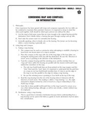
Combining Map and Compass
Students practice using the map and compass to find a location. In this geography lesson series, students identify basic requirements needed when traveling in the wilderness. They plan a healthy menu for a backpacking trip.
Curated OER
Orienteering Scavenger Hunt
Students take a reading with a compass and use the compass to reach multiple checkpoints in a scavenger hunt activity.
Curated OER
Topographic Maps Worksheet
In this geography skills worksheet, students respond to 37 multi-part questions that require them to read and interpret topographic maps.
Curated OER
Compass Crusaders
Students discover how to use a compass and how to use that knowledge in the field while applying orienteering and mathematical skills.
Curated OER
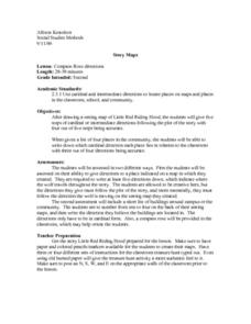
Compass Rose Directions
Second graders use cardinal and intermediate directions to locate places on maps and places in the classroom, school, and community. They draw a setting map of "Little Red Riding Hood." Students give five steps of cardinal or...
Curated OER
CLASSROOM MAPS
Students do a blind tour of their school by responding to verbal commands. They look and discuss various maps in the classroom. They locate the direction of the sunrise and discuss the compass directions of North, South, East, and West.
Curated OER
Science: Reading a Compass
Students demonstrate how to take bearings using a compass. In pairs, they select objects in the classroom then write down its first initial and bearing. They exchange papers and try to disciver their partner's object.
Curated OER
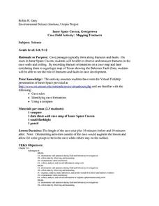
Cave Activity: Mapping Fractures
Students tour a cave and observe fractures in the cave's ceiling. They record characteristics of the fracture. They locate three major passages in the cave and ten major fractures.
Curated OER
Survey of the Louisiana Purchase in 1815
Students explore the survey of the Louisiana Purchase by creating their own surveying and mapping techniques such as natural maps, pace maps, and orienting. Other students then try to follow the maps.
Curated OER
Orienteering II
Students name the parts of a compass and comprehend the function of each part. They define paces and tallies and use them in a real world situation. Students are shown the proper use of radio terminology. They use a map and compass to...
Curated OER
Learning Directions on a Map
Students use north, south, east, and west to identify relative locations and provide directions.
Curated OER
Following a Bearing
Students practice finding a bearing. In this orienteering lesson, students review how to use a compass and set a bearing. Students complete a worksheet where they practice finding a bearing and complete a group activity to...
Curated OER
TE Activity: Northward Ho!
Students design a simple compass. They examine how the Earth's magnetic field has both horizontal and vertical components. They determine how a compass works and work with cardinal directions.
Curated OER
Orienteering
Students proceed through a simple course following a map but not using a compass. They must find 18 controls working in pairs that leave at 2 minute intervals. Students must record letter and after finding all 18 controls they will...
Curated OER
Modified Orienteering
Students participate in activities using compass settings. They find north and notate the bearings of objects that have been set up in the school yard. They find marks that both visible and hidden behind and under things like trees, and...
Province of Manitoba
The Outdoors Camping and Survival Skills
Equip young campers with the tips and strategies for a safe trip to the outdoors with a series of lessons. They learn how to start fires with and without firewood, keep warm in snowy weather, and purify water to make it safe for drinking.
Curated OER
Which Way Is North?
Students investigate the concept of finding locations with the use of a compass and a map. They practice the skill of bearing and set up courses of travel to different destinations around the school grounds. Students also practice taking...
Curated OER
Capitals, Oceans, And Border States
Students investigate geography by completing games with classmates. For this United States of America lesson, students examine a map of North America and identify the borders of Mexico and Canada as well as the Pacific and Atlantic....
Curated OER
Cartography Project
A lesson involving mapping, the use of a compass, writing and following directions, and exploring the first two themes of geography is here for you. Learners create original maps that show the routes they take through their own...
Curated OER
Draw A Coastline
Students identify, locate and draw at least ten different geographical features on a map. Using the map, they must make it to scale and include their own legend and compass rose. They share their map with the class and answer questions.


