Curated OER
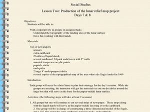
Production of the Lunar Relief Map Project
Students replicate the lunar surface. In this mapping skills lesson, students study the topography of the moon. Students then use craft materials to create topographic maps of the lunar surface where the Eagle landed.
Wind Wise Education
Where is it Windy?
How is the wind up there? The class builds a topography model using materials available in the classroom, then place wind flags in different locations on the landscape. Using a fan as a wind source, pupils collect data about how wind...
Curated OER
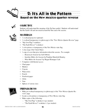
It's All in the Pattern
Here is a fantastic, nine-page, multi-session lesson plan on the Zia Sun Symbol (found on the New Mexico state flag), and the seasons of the Earth. Everything you need to implement the lesson plan is here, and the many engaging...
Curated OER
Examine the Trees in Your Community Forest
Twelfth graders examine selected tree species. In this tree lesson, 12th graders examine twenty selected tree species, identify them, and correctly map out the trees in the area.
Curated OER
Failing Ecosystems: Haiti and the Caribbean
Ninth graders study the impact that climate has on the land. They discuss how deforestation leads to erosion and soil damage and how trees and vegetation help to stabilize the land. They draw a large map of the Caribbean and show Haiti...
Curated OER
Measure Up!
Students examine parallax and angular measurements. In this investigative lesson students calculate distances of objects and map their results.
Curated OER
Can You Dig It?
Students investigate a fossil site and diagram a site map. They role play as paleontologists.
Curated OER
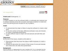
Using KidPix
Students discover how to use a software program known as KidPix. They create a slideshow noting the differences between rocks and minerals. They share their slides with the class.
Curated OER
Hemlock Trees and the Pesky Pest, The Woolly Adelgid
Students review Excel and how to create graphs with this program. They create two graphs in Excel, one showing the average number of woolly adelgid egg sacks on the outer 15 cm of hemlock branch at sites sorted by latitude, then one...
Curated OER
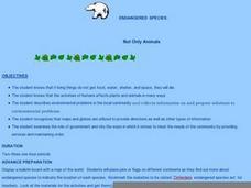
Endangered Species: Not Only Animals
Students research endangered animals and plants. In this biology lesson, students are read Will We Miss Them? Endangered Species by Alexandra Wright before they begin searching for information to complete an endangered species...
Curated OER
Using Soil properties and Vegetation Differences to Hypothesize the Land Use History and Topographic Differences between Two Locations
Ninth graders take soil samples and perform tests on these samples.
Curated OER
Using the Software Program "Kid-Pix"
Young scholars create a slideshow using the software program Kid-Pix. They use the differences in rocks and minerals for their presentation. They also demonstrate different ways to import and save pictures using the program.
Other popular searches
- Australian Maps and Flags
- Thai Maps and Flags
- Maps and Flags Caribbean
- Maps and Flags Mexico
- Area Studies Maps and Flags
- Illinois Maps and Flags


