Curated OER
Create a Math Road Trip
Young scholars create a Road Trip. They work in small groups. Students are given a road map for each group. They plan a road trip between two cities on opposite edges of the map, estimating a reasonable distance to travel each day. Young...
Curated OER
Mapping with a Compass: A Simulated Survey
Students use compasses and grids to map the locations of artifacts found in a simulated dig site. In groups, they role-play as future archeologists excavating a school site. Groups begin at their assigned datum and site the artifacts...
Curated OER
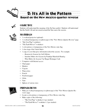
It's All in the Pattern
Here is a fantastic, nine-page, multi-session lesson plan on the Zia Sun Symbol (found on the New Mexico state flag), and the seasons of the Earth. Everything you need to implement the lesson is here, and the many engaging activities are...
Curated OER
The Shapes of Our World
Learners utilize shapes and spatial relationships in a practical context by creating maps and writing a critical essay.
Curated OER
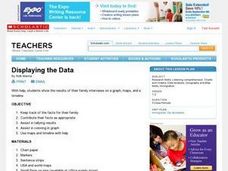
Displaying the Data
Students gather facts about their parent's families through the completion of parent interview forms. Using tally marks, the data gathered is counted, transferred to graphs and used to create family timelines.
Curated OER
Where In the World Are We?
Fifth graders read postcards and find their locations on maps. They use the pictures and text on the postcards to write about imaginary vacations. They compute the mileage and compare it to TripMaker data.
Curated OER
Hemlock Trees and the Pesky Pest, The Woolly Adelgid
Students review Excel and how to create graphs with this program. They create two graphs in Excel, one showing the average number of woolly adelgid egg sacks on the outer 15 cm of hemlock branch at sites sorted by latitude, then one...
Curated OER
Compass Crusaders
Learners discover how to use a compass and how to use that knowledge in the field while applying orienteering and mathematical skills.
Curated OER
The Royal Cubit
Students explore the history of measurement in ancient Egypt. For this math lesson, students discuss the development of a standardized measurement system. Students measure using various units and discuss the results and the need for a...
Curated OER
Travels Of A Florida Migrant Child
Middle schoolers discuss the story Amelia's Road by Vickie Leigh Krudwig in this cross-curricular Math lesson plan for the middle-level classroom. Elements of the social sciences are addressed. Cooperative learning groups are suggested...
Curated OER
Gridding a 2 x 2 Meter Unit
Students use the internet to examine what happens at an archeological dig site. In groups, they practice measuring a 2x2 meter square unit and gridding it out as an archeologist would do. They review the possible solutions at the end of...
Curated OER
Around The World
Students search the Internet through a sequence of steps to reach the country of their nationality. They research and collect information about their country.
Other popular searches
- Australian Maps and Flags
- Thai Maps and Flags
- Maps and Flags Caribbean
- Maps and Flags Mexico
- Area Studies Maps and Flags
- Illinois Maps and Flags


