Hi, what do you want to do?
Sophia Learning
Sophia: Note Taking: Concept Maps and Flow Charts
This slideshow lesson focuses on note taking using concept maps and flow charts; it provides background information, 6 types of concept maps or flow charts with best uses, uses in the classroom, uses while reading or researching, and how...
University of Texas at Austin
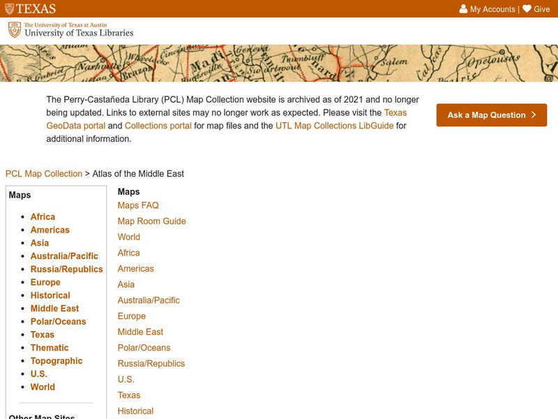
University of Texas: Qatar: 7 Maps and Charts
This is a nice set of maps of Qatar from the Perry-Castandeda Collection which includes a map of the country, population map, map of economic activity, among others.
Library of Congress
Loc: American Revolution and Its Era: Maps & Charts
A few maps and some good text on the topography and its importance during both the American Revolution and the French and Indian War.
NOAA
Noaa: Office of Coast Survey: Historical Map and Chart Collection
A collection of maps and charts related to the Civil War. Maps and charts can be downloaded and saved.
Art Institute of Chicago
Art Institute of Chicago: Benin: Kings and Rituals: Court Arts From Nigeria
Learn about the history of the royal art of the Benin Kingdom in Africa. An overview of the art is provided and with further explanation given according to themes. View maps and selected works of art. A video, charts, glossary, and a...
Curated OER
U. Of Texas: Yemen: Distribution of Ethnoreligious Groups and Key Tribal Areas
An interesting map showing the distribution of the major religious groups, the tribal areas, and pie graphs showing the percentages of ethnic groups and religious sects. From the Perry-Castaneda Collection.
Virginia History Series
Virginia History Series: The American Civil War in Virginia [Pdf]
The state of Virginia played a pivotal role in the Civil War. Trace the war from the beginning to the battles in Virginia, and to Lee's surrender through this comprehensive slideshow. Included are charts, maps and actual photography from...
Daily Teaching Tools
Daily Teaching Tools:more Graphic Organizers for Teaching Literature and Reading
This Daily Teaching Tools collection provides graphic organizers for teaching reading and literature. Elaborate graphic organizers are provided for the following: story maps, character study charts, making text connection maps, conflict...
Other
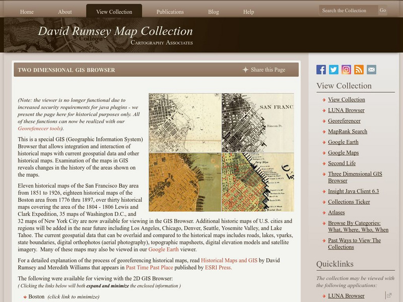
David Rumsey Historical Map Collection
The collection of more than 150,000 maps focuses on rare 18th and 19th-century maps of North and South America, although it also has maps of the World, Asia, Africa, Europe, and Oceania. The collection includes atlases, wall maps,...
Other
Kim's Korner: Graphic Organizers for Writing and Reading
What are graphic organizers for reading and writing? Use this site to learn more about these learning tools.
Other
The Topic: Charts and Graphs
Brief descriptions of charts and graphs, followed by links to larger sites on the same subject.
Other
Bucks County Community College: Visual Organizers
This site walks you through the benefits of visual organizers, and focuses on a variety of types: tables, charts, graphs, timelines, flowcharts, diagrams, and webs.
Curated OER
Educational Technology Clearinghouse: Maps Etc: Mexico, 1872
A map from 1872 of Mexico, showing states and state capitals, major cities, towns, and ports, railroads, lakes and rivers, mountain systems, terrain, and coastal features. Steamship routes to major ports are shown, with distances marked...
Daily Teaching Tools
Daily Teaching Tools: More Free Graphic Organizers for Studying and Analyzing
A teaching resource with free downloadable graphic organizers including Time Organizers, Learning Maps, Project Internet, Concepts and Characteristics, Vocabulary Charts, Project Author Study, Decisions and Goals, and more.
Virginia History Series
Virgina History Series: Virginia State History Post Wwii to Present Day [Pdf]
Visualize the major events in the last half of the 20th century such as major wars and civil rights issues through the lens of the state of Virginia. In addition, learn about the pop culture of this time specifically in Virginia. Enjoy...
Virginia History Series
Virginia History Series: Virginia State History 20th Century (1921 1940) [Pdf]
The Roaring Twenties was a time of great prosperity in America and Virginia. However, it ended with a bust that shook our country to its core. Imagine the culture of this time with the help of pictures, charts, and maps. This slideshow...
NOAA
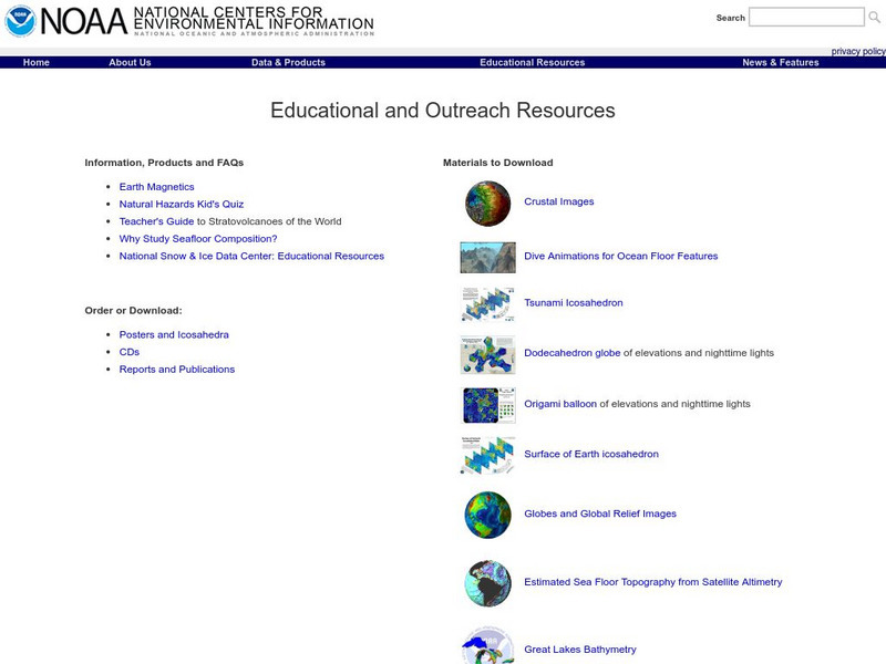
Noaa: Ngdc: Images, Visualizing Data
The National Geophysical Data Center has transformed extensive ocean research into colorful video, 3D maps, charts posters and more! This site starts off with a film clip of a dive into the Marianas trench and then lead you to other...
Curated OER
Educational Technology Clearinghouse: Maps Etc: Asia (Physical), 1868
A map from 1868 of Asia showing physical features and natural resources of the region. The map shows political boundaries of the time, with capitals, major cities, and ports. The map shows mountain systems with black lines of variable...
Curated OER
Educational Technology Clearinghouse: Maps Etc: North America, 1868
A map from 1868 of North America, Central America, and the Caribbean showing the physical features of the region, vegetation types, ocean currents, temperatures, principal products and mineral deposits. Mountain chains are represented by...
Curated OER
Educational Technology Clearinghouse: Maps Etc: South America (Physical), 1868
A map from 1868 of South America showing the physical features of the region, vegetation types, ocean currents, temperatures, principal products and mineral deposits. Mountain chains are represented by lines of varying thickness, with...
Curated OER
Educational Technology Clearinghouse: Maps Etc: Europe (Physical), 1868
A map from 1868 of Europe, showing the physical features, climate, and commercial resources of the region. Mountain chains are represented by lines of varying thickness, with the broader the line, the greater the elevation. The highest...
Sophia Learning
Sophia: Outlining Plot
This video tutorial focuses on outlining plot; it explains that we outline plot as a way to analyze it; to analyze plot, focus on main events and interaction involving main characters. It offers three methods for outlining plot:...
Other popular searches
- Analyze Maps and Charts
- Reading Maps and Charts
- Charts and Maps
- Ireland Maps and Charts
- Tables, Maps and Charts
- Graphs Charts and Maps
- Interpreting Charts and Maps
- Tables Maps and Charts
- Graphs, Charts and Maps
- Graphs\, Charts and Maps
- Word Maps and Charts
- Charts, Maps and Graphs


