Hi, what do you want to do?
Curated OER
A Look Through Time
Second graders explore how people find out about history. They use previously gathered research to produce tourist pamphlets that highlight historical county events.
Curated OER
From Graphic Organizer to Comparison
Fifth graders brainstorm a variety of topics for writing. As a class, learners create four types of graphic organizers on selected topics. They discuss how to use graphic organizer in constructing a written paragraph.
Curated OER
Planning a Tourist Resort
Students work in teams of 2 to complete the presentation portion of the assignment. They may be required to work alone or may work with their partner to complete the "Board Member's Responses."
Curated OER
Natural Hazards
Young scholars evaluate the hazards of naturally occurring events. After watching a video concerning safety hazards, students work in groups to discuss the safety issues involved in taking a trip to a mountainous region. ...
Curated OER
Community Brochures
Second graders research facets of their community in order to create an informational brochure. After brainstorming ideas of what could be included in the brochure, student groups get information from the internet, the library or a...
Curated OER
America the Beautiful
Students listen to a read-aloud discussing the landmarks of the United States. In pairs, they use the internet to research a landmark of their choice. They create a visual aid to be given with a presentation sharing the information...
Curated OER
Memo from the Governor
Fourth graders inquire about the history of Florida's capital after receiving a mock memo from the governor.
Curated OER
Presidential Database
Ninth graders research the Presidents of the United States. They develop generalizations about the nature of the Executive Branch using the researched information. Students complete a Query worksheet about the Presidents.
Curated OER
This is Your Life!
Students create an autobiographical timeline that be shared with a classmate. They write a one paragraph biography based on the timeline.
Curated OER
Sky Watching
Learners trace how weather patterns generally move from west to east in the United States.
Curated OER
Animalopedia Poetry
Students reseach animals while working in groups. They write poems to be included in a class Animalopedia book.
Curated OER
News Interviews of Historical Figures During the Indian Wars
Students examine the lives of important historical figures. Using primary source documents, they develop a list of questions to ask the figure if they were still alive. In groups, they discover information about the other historical...
Curated OER
"Doing History" The Crafting of a Christopher Gadsden Biography
Middle schoolers reflect on the biography of General Gadsden. In this history lesson, students read the biography of General Gadsden then research a specific aspect of the Generals life to complete their own biography pn him.
Curated OER
Magazine Sales Talks
Students role-play to determine the best types of magazines that should be purchased for their media center. They create a sales presentation for a particular magazine in small groups. As they listen to each presentation they evaluate...
Sophia Learning
Sophia: Note Taking: Concept Maps and Flow Charts
This slideshow lesson focuses on note taking using concept maps and flow charts; it provides background information, 6 types of concept maps or flow charts with best uses, uses in the classroom, uses while reading or researching, and how...
University of Texas at Austin
University of Texas: Qatar: 7 Maps and Charts
This is a nice set of maps of Qatar from the Perry-Castandeda Collection which includes a map of the country, population map, map of economic activity, among others.
City University of New York
Virtual Geology: Maps Home Page: Topic and Quiz Menus
This collection of resources cover map topics and includes quizzes for improving map and globe usage skills.
Library of Congress
Loc: American Revolution and Its Era: Maps & Charts
A few maps and some good text on the topography and its importance during both the American Revolution and the French and Indian War.
NOAA
Noaa: Office of Coast Survey: Historical Map and Chart Collection
A collection of maps and charts related to the Civil War. Maps and charts can be downloaded and saved.
Other
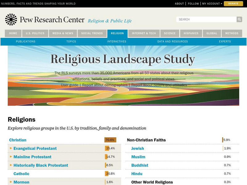
Pew Forum on Religion and Public Life: u.s. Religion Landscape Survey
Website summarizing the results of a survey on religion in the U.S. Contains maps and charts of information for each specific religion as well as bar graphs comparing the deomographics of the different religious groups. Two full reports...
Other
La Rue Literacy Exercises: Reading a Map: Quiz 12
In this quiz, students are given sections of a map with locations like the school, post office, back, etc. They are asked questions about directions from one place to the other.
University of Washington
University of Washington: Naacp History and Geography 1909 1980
Brief history of the NAACP with visualizations showing data, maps, and charts that show the changing geography of NAACP grassroots activism.
Other popular searches
- Analyze Maps and Charts
- Reading Maps and Charts
- Charts and Maps
- Ireland Maps and Charts
- Tables, Maps and Charts
- Graphs Charts and Maps
- Interpreting Charts and Maps
- Tables Maps and Charts
- Graphs, Charts and Maps
- Graphs\, Charts and Maps
- Word Maps and Charts
- Charts, Maps and Graphs


