Curated OER
A Line Graph of the Ocean Floor
Young scholars develop a spreadsheet and import the information into a line graph. In this spreadsheet and line graph lesson, students develop a spreadsheet of ocean depths. They import the information into a word processed document....
NOAA
Into the Deep
Take young scientists into the depths of the world's ocean with the second lesson of this three-part earth science series. After first drawing pictures representing how they imagine the bottom of the ocean to appear, young scholars...
Curated OER
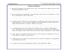
Mapping the Canyon
Students compare and contrast topographic maps and bathymetric maps. They investigate how bathymetric maps are made and how to interpret one.
Curated OER
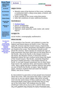
Ocean Planet: Sea Secrets
Students identify ocean features and draw a profile using data points on a map. Through discussion and research, they discover the importance of oceanography and plot a profile of the ocean floor in search for a vessel full of precious...
Curated OER
A Watered-Down Topographic Map
Eighth graders explore the ocean floor. In this topography instructional activity, 8th graders compare topographical maps to bathymetric charts. They will create a topographic map and note landmarks and other land features.
Curated OER
Trade in the Indian Ocean: Should China End Zheng He's Treasure Voyages?
Young scholars examine the amount of trade that occurs in the Indian Ocean. Using China as an example, they discuss the reasons why it ended its treasure voyages in the area and predict what would have happened if the voyages continued....
Curated OER
Mapping and Personifying Nations
Eleventh graders analyze the geography, actions, and relationships of countries involved in World War II. They create a map of Europe, Northern Africa, and the Pacific, and analyze and evaluate their self-made map of Europe and the...
Curated OER
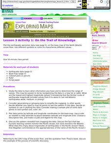
Lesson 3 Activity 1: On the Trail of Knowledge
Students plot the earthquake epicenter data on the base map of the North Atlantic ocean floor using different symbols or colors to characterize different values.
Curated OER
United States Map- Land Elevation
Students explore a physical map. In this map skills instructional activity, students discuss examples of elevation and investigate the symbols used to identify elevation on a map. Students use the map to identify various land elevations.
Curated OER
Sunken Slave Ship
Students investigate shipwrecks. In this marine archaeology instructional activity, students create the site of a shipwreck by using a tub filled with sand and items from a "ship". Students excavate the site and analyze the findings.
Curated OER
TOPSY TURVY MAPS
Eighth graders use the data analyzer and motion detector to collect data and measure distances. They create topographic maps drawn to scale of a given setup and relate the concepts to the creation of historical ocean maps.
Curated OER
Oceans of the World
Second graders demonstrate their ability to find the five oceans on a globe and on a world map and relate their knowledge of mountains and other physical characteristics of land masses to the physical characteristics of the ocean floor.
Curated OER
Continents and Oceans on the Move
Students create an awareness of the vast percentage of water covering the earth. They relate similarities/differences between topographical maps and other maps of various time periods. Students examine how to use a topographical map.
Curated OER
The Big Blue
Third graders create paper mache globes with balloons. They label the 4 oceans on their balloons with reference to large wall map, classroom globe, and Encarta Virtual Globe CD-ROM projected on large screen TV with Tvator or other...
Curated OER
Finding Our Place in the Community
Third graders search TDC database for images of our hemisphere, continent, ocean, country, state, and city. They identify their place in the hemisphere, continent, ocean, country, state, and city.
Channel Islands Film
Island Rotation: Lesson Plan 1
How do scientists provide evidence to support the theories they put forth? What clues do they put together to create these theories? After watching West of the West's documentary Island Rotation class members engage in a series of...
Aurora Trust
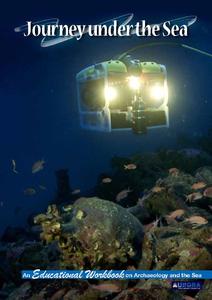
Journey Under the Sea
Discover the interesting world of maritime archaeology and explorations under the sea with this nice set of worksheets, which cover such topics as search tools and techniques of underwater archaeology, carbon dating,...
Curated OER
Triangular Trade and Its Effects
Students investigate the trade routes and investigate goods and services were transported along each route. Given a primary source document, that represents a personal story related to the triangle trade, they discuss given questions.
Houghton Mifflin Harcourt
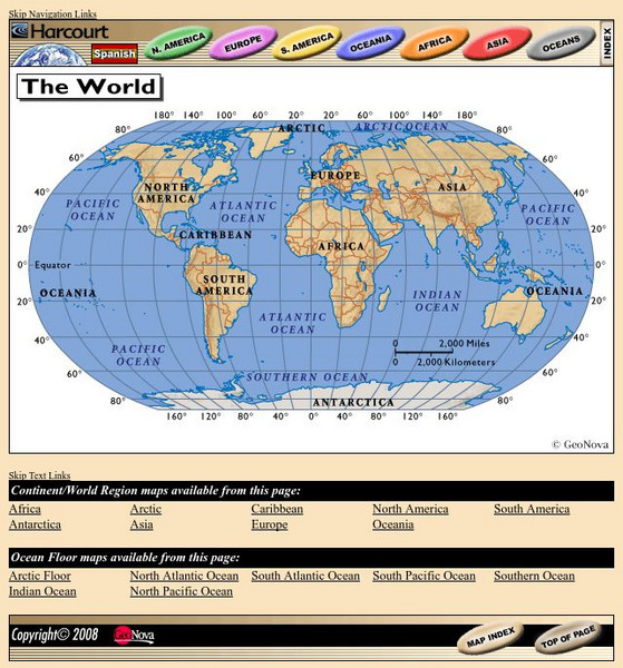
Harcourt: School Publishers: World Atlas: The World
Provides continent, country, and ocean floor maps from all over the world. Click on a continent's name to access the detailed maps which also include statistical facts on each available country.
Vision Learning
Visionlearning: Plate Tectonics: The Origin of Plate Tectonic Theory
Discover Alfred Wegner's ideas relating to continental drift and seafloor spreading which are both evidence to the concept of plate tectonics.


