Curated OER
Educational Technology Clearinghouse: Maps Etc: New Hampshire, 1903
A map from 1903 of New Hampshire showing the capital of Concord, counties and county seats, principal cities and towns, railroads, rivers, and mountain ranges. "New Hampshire, one of the New England States of the American Union, lies...
Curated OER
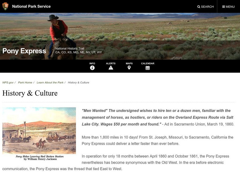
National Park Service: Pony Express: History and Culture
A good article from the National Park Service which recounts the history of the brief existence of the Pony Express. Read about the route, what caused the demise of the Pony Express, and what part of the trail can still be seen.
Library of Congress
Loc: African American Mosaic: Migrations
The Library of Congress surveys the migration of African Americans to out of the South after the Civil War. Features include statistics, maps, and reasons for the migration.
PBS
Pbs Learning Media: Westward Expansion, 1790 1850
This interactive map explores the territorial and population changes in the United States between 1790 and 1850. It also covers the beginning of the transportation revolution and the Native American land cessions and forced removals.
Curated OER
Etc: Maps Etc: Mexico, Central America, and the West Indies, 1898
A map from 1898 of Mexico, Central America and the West Indies. The map includes an inset map of Cuba and the Isthmus of Nicaragua. "The surface of the Rocky Mountain highland in Mexico is quite similar to that of the great plateau...
Curated OER
Etc: The West Indies and Mexico, 1898 1906
A map from 1907 of Mexico, Central America, and the West Indies (Greater Antilles to Puerto Rico) between the Spanish-American War in 1898 and the Third Pan-American Conference in 1906. The map shows the political boundaries in 1906,...
Curated OER
Etc: Maps Etc: Mexico, Central America, and the West Indies, 1906
A map from 1906 of Mexico, Central America, and the West Indies showing the political boundaries at the time, capitals and major cities, mountain systems, coastal features, and islands of the region. An inset map shows the entire North...
Curated OER
Educational Technology Clearinghouse: Maps Etc: North America, 1800
A map of North America and Central America showing territorial claims and possessions in 1800. The map is color-coded to show the territories of the United States, British, Spanish, French, and Russians, and indicates areas of disputed...
Curated OER
Etc: Operations in the West, 1861 1865
A map of the south-central States showing American Civil War operations in the West (1861-1865). The map shows major cities and towns, rivers, terrain and coastal features, and campaign routes. Inset maps detail the vicinity of Vicksburg...
Curated OER
Etc: Mountain Passes & Overland Routes in the West, 1841 1850
A map of the Pacific region of the United States west of the Rocky Mountains in 1841-1850. The map shows the Old Spanish Trail from Los Angeles to Santa Fe, the Pioneer Route from the Platte River to San Francisco, the routes of Fremont...
Curated OER
Etc: Maps Etc: Physical Map of South America, 1898
A map from 1898 of South America showing the general physical features including mountain systems, prominent peaks and volcanoes, river and lake systems, plateaus, and coastal features. The map includes an insert of the Isthmus of...
Curated OER
Etc: Maps Etc: The United States and Neighbors, 1898
A map from 1898 of North America, Central America, Greenland, and the Caribbean to Puerto Rico, subtitled "The United States and its Neighbors in North America." The map is color-coded to show the possessions of Greenland (to Denmark),...
Curated OER
Educational Technology Clearinghouse: Maps Etc: Utah, 1902
A map from 1902 of Utah showing the capital at Salt Lake City, counties and county seats, principal cities and towns, railroads, mountains, rivers, and the Great American Desert region to the west of Salt Lake.
Curated OER
Educational Technology Clearinghouse: Maps Etc: The Utah Territory, 1892
A map from 1892 of the Utah Territory prior to statehood (January 4, 1896), showing the territorial capital at Salt Lake City, counties and county seats, principal cities and towns, railroads, mountains, rivers, and the Great American...
Curated OER
Educational Technology Clearinghouse: Maps Etc: Utah, 1898
A map from 1898 of Utah showing the capital at Salt Lake City, principal cities and towns, railroads, mountains, lakes, rivers, and the Great American Desert to the west of Salt Lake. "Settled 1848 at Salt Lake by Mormons from Illinois,...
PBS
Pbs: Indian Territory
This site from PBS provides a short description and map of "the Indian Territory set aside by the Indian Removal Act of 1830 and the areas designated for each tribe."
Curated OER
Etc: Middle Atlantic States, 1778 1779
A map of the Middle States during the American Revolutionary War showing the major northern battle sites from Crown Point on Lake Champlain south to Brandywine and west to Pittsburgh (Fort Duquesne) and Venago.
Other
Ecological Regions of North America [Pdf]
A helpful map of North America which color codes its 15 ecological regions. Click on the different regions for a brief description of the area. Requires Adobe Reader. [PDF]
Independence Hall Association
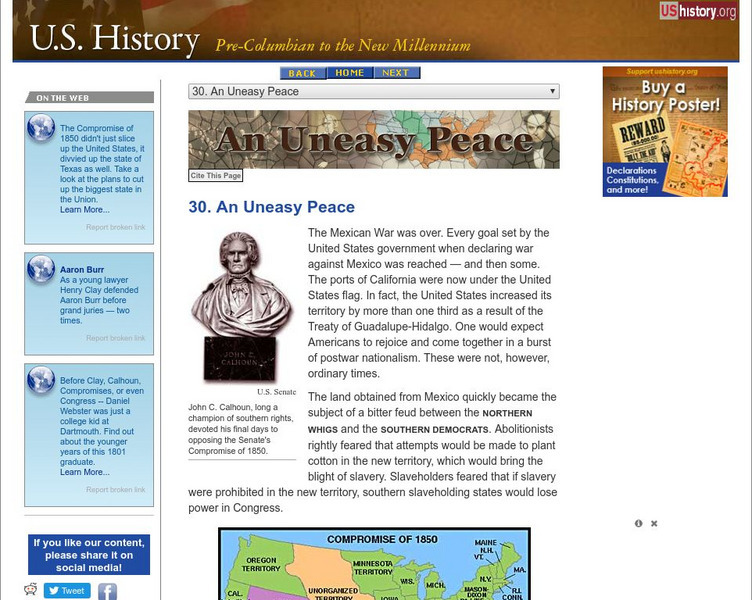
U.s. History: An Uneasy Peace
See what turmoil resulted from the acquisition of new territory after the Mexican-American War. There was great disagreement between those who wanted to abolish slavery and those who wanted to be able to carry slavery into the new lands....
Oklahoma Historical Society
Oklahoma Historical Society Home
Find facts about Oklahoma's rich history and famous people, and explore museums and historic sites. An interactive map of the state allows you to choose museums, military sites, historic homes, and other notable locations in Oklahoma,...
Other
English Royal Proclamation of 1763
This resource presents a map and a brief explanation of the royal Proclamation of 1763 that prohibited the settlement of lands west of a line drawn by the King.
Curated OER
The Exoduster Movement, Benjamin Pap Singleton
Contains text and photos on the African American exodus to the West. Includes primary source documents and maps from the era.
Curated OER
Exodusters en Route to Kansas
Contains text and photos on the African American exodus to the West. Includes primary source documents and maps from the era.


