US National Archives
Docsteach: Lewis & Clark's Expedition to the Complex West
This activity can be used as an introduction or for a closer study of the Lewis & Clark Expedition. Students will learn that the United States purchased the Louisiana Territory in 1803 and President Thomas Jefferson sent Lewis and...
Library of Congress
Loc: American Colonization Society: Maps of Liberia 1830 1870
These maps, historical primary materials, show the early settlements in Liberia that were created by the American Colonization Society as they resettled free black Americans in West Africa. A timeline of the history of Liberia is included.
Other
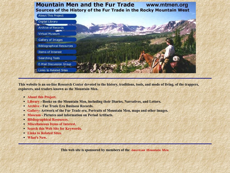
American Mountain Men: Mountain Men and the Fur Trade
On-line research center features numerous resources dedicated to the history of the Mountain Men in the American West. This project includes primary sources, images, maps, artwork, newspaper articles, artifacts, and links to related...
Library of Congress
Loc: Language of the Land
Language of the Land uses the metaphor of a journey to tour the rich literary heritage of the US through maps, the words of authors, images of characters, and photographs.
University of Richmond
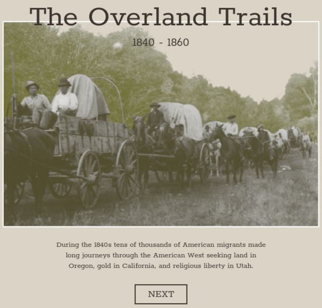
American Panorama: The Overland Trails 1840 1860
Interactive map highlights the emigrations of men and women over the Oregon, California, and Mormon Trails in the 1840s and 50s. Also features a timeline of migration, diary entries from individual migrants, and a flow map showing how...
A&E Television
History.com: The States
Learn unique facts about each American state. You can also read a more in-depth history of each state, watch videos and play a game about all the states.
The White House
The White House: The West Wing Tour
Students can take a tour of the West Wing of the White House through photos, floor maps, and a video (with sign language) and peak into the many rooms from which the President and other government officials work.
US Department of Agriculture
Nrcs: Helping People Understand Soils
Comprehensive resource for the study of soil regions. Special information for teachers and students include soil facts, resources, state soils, urban soil issues, state of the land, and more. Be sure to click on their special...
PBS
Pbs: American Experience: Destination Cuba
A nice map of the island with information on history, places, and events. Click on the map to bring up a larger Cuba map, then you can click on various places to learn more.
Library of Congress
Loc: Teachers: Journeys West
A series of lessons utilizing primary texts, including narratives, photographs, and maps, through which students explore the following question: "What motivated thousands of people to journey west during the 1800s?"
Library of Congress
Loc: African American Mosaic: Western Migration and Homesteading
Contains text and photos on the African-American exodus to the West. Includes primary source documents and maps from the era.
Curated OER
Educational Technology Clearinghouse: Maps Etc: The New West, 1889 1912
A map of the western United States showing the rapid growth of the New West between 1885 and 1912 during the presidencies from Benjamin Harrison to Howard Taft. The map is color-coded to show the States admitted to the Union before the...
Smithsonian Institution
National Museum of American History: West Point in the Making of America
Online part of a Smithsonian exhibit to honor the 200th anniversary of West Point, the site includes history, interactive maps, historical documents and artifacts.
National Humanities Center
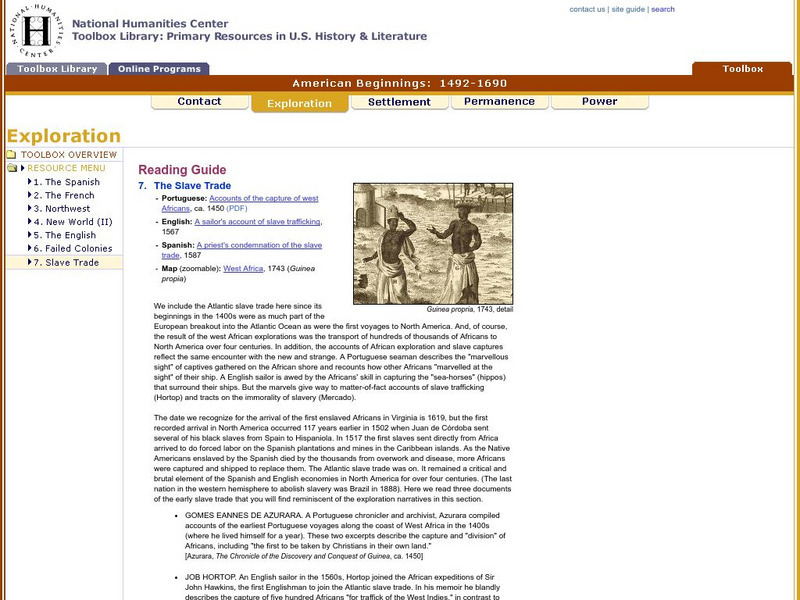
National Humanities Center: Toolbox Library: Slave Trade, American Beginnings: 1492 1690
A West African map and three accounts of the development of slave acquisition display the process and the brutality of the Atlantic slave trade.
Curated OER
Etc: American Rev War Operations in the West, 1775 1782
A map of the Northwest Territory between the Allegheny Mountains and the Mississippi River and the Great Lakes to the Tennessee River showing the military operations and extent of settlement in the area during the American Revolutionary...
Houghton Mifflin Harcourt
Harcourt: Biographies: Meriwether Lewis 1774 1809
A biography of Meriwether Lewis and information about his exploration of the Louisiana Territory that led to the development of the American West. Includes several maps.
Alberta Online Encyclopedia
Alberta Online Encyclopedia: Peter Pond
Peter Pond (1739-1807) was a great explorer and map maker during the expansion of the fur trade. He was an American and military officer before becoming a partner in the North West Company. Alberta Encyclopedia Online is an excellent...
Library of Congress
Loc: Drake's West Indian Voyage 1588 1589
While studying early American exploration students will view the maps Sir Francis Drake used in his attacks of the Spanish in the New World. This lesson plan makes use of primary source maps to help the students learn how to analyze them.
Curated OER
Etc: Kentucky and West Virginia, 1861 1865
A map of the parts of Kentucky and West Virginia, where some early battles of the American Civil War were fought. The map shows terrain features, rivers, railroads, and the cities and towns of Cincinnati, Philippi, Rich Mountain,...
Curated OER
Educational Technology Clearinghouse: Maps Etc: West of Philadelphia, 1777
A map of the area west of Philadelphia, showing important sites of the American Revolutionary War during the British campaign to capture Philadelphia, including the Battle of the Brandywine at Chad's Ford, the Battle of Paoli, and the...
Curated OER
Educational Technology Clearinghouse: Maps Etc: The War in the West, 1861 1865
A map of the western seat of war during the American Civil War, showing cities, forts, rivers, and significant battle sites.
Curated OER
Educational Technology Clearinghouse: Maps Etc: North American Colonies, 1643
A map of the North American Colonies in 1643 at the establishment of the New England Confederation. The map is color-coded to show the territorial claims of the British, French, Dutch, and Swedish at the time, and shows the British...
Curated OER
Etc: Native American Delimitations, 1763 1770
A map of the American colonies and territories west to the Mississippi River between the end of the French and Indian War of 1763 and the beginnings of westward expansion of the trans-Appalachian colony proposed in the Vandalia Project...
Curated OER
Etc: Maps Etc: British Possessions in North America, 1775
A map showing the British possessions in North America in 1775, before the outbreak of hostilities during the American Revolutionary War. The map shows the boundaries of the British Colonies along the Atlantic, the Proclamation Line of...
