Alabama Learning Exchange
Alex: Sonar Mapping of the Ocean Floor
Mapping the ocean floor must be done by indirect observation. One method involves bouncing a sonar signal off of the ocean floor and measuring the length of time this signal takes to return. This length can be translated into distance:...
University of California
Mid Ocean Ridge
An article from Scientific American details some recent discoveries about the ridge systems. "New maps reveal striking details of how segments of the Ridge form and evolve."
Science Education Resource Center at Carleton College
Serc: Fathoms, Ship Logs, and the Atlantic Ocean
Students use data from ship logs to graph a profile of the Atlantic Ocean. They will rely on prior knowledge of seafloor topography, instructions on how to read a bathymetric map, and observe a demonstration where the depth of the ocean...
US Geological Survey
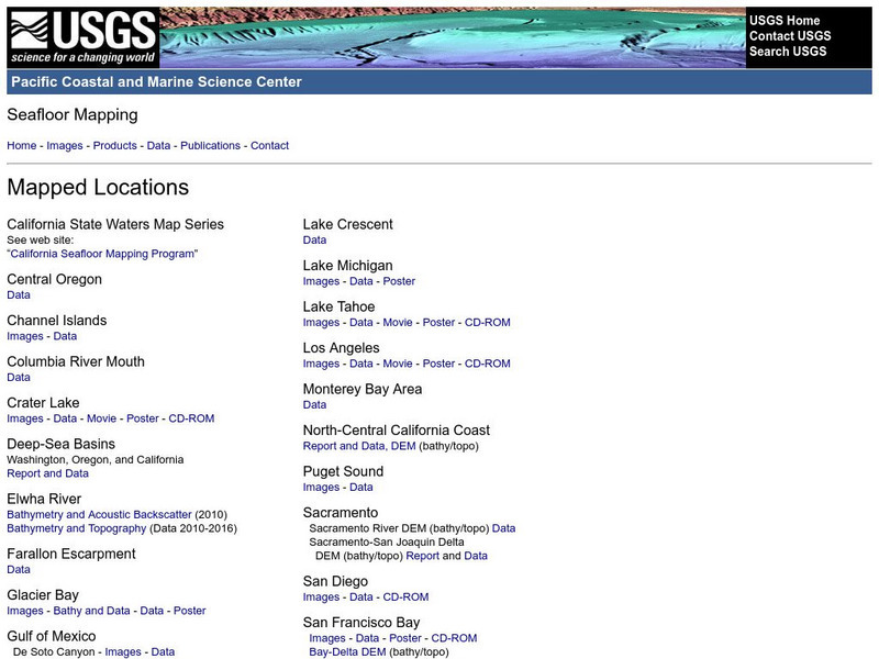
Usgs: Pacific Seafloor Mapping Project
This site describes the details of a project to map the seafloor of the Pacific Ocean. Includes images, movies, links to related information, and more.
Georgia Department of Education
Ga Virtual Learning: Geological Oceanography
This unit will focus on the geological characteristics of the world ocean, plate tectonics, and the mapping of the ocean floor.
Houghton Mifflin Harcourt
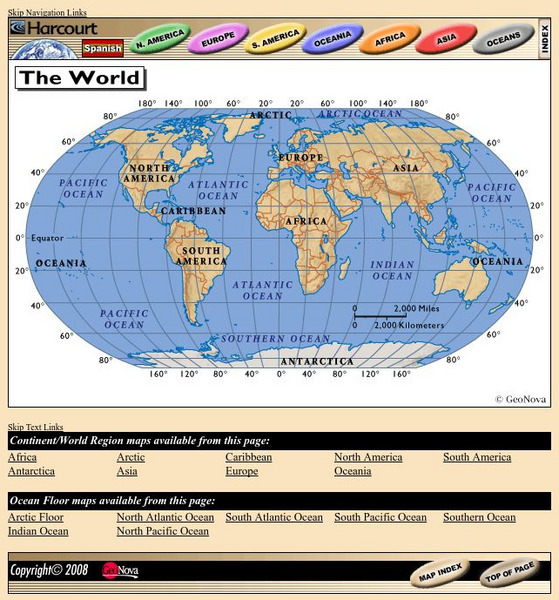
Harcourt: School Publishers: World Atlas: The World
Provides continent, country, and ocean floor maps from all over the world. Click on a continent's name to access the detailed maps which also include statistical facts on each available country.
NOAA
Noaa: Explorations
This resource page contains an exhaustive list of pictures and videos of sea floor structures found all over the world.
US Geological Survey
Usgs: Monterey Submarine Canyon, California Moored Array Data Report [Pdf]
This advanced site discusses some of the research done and research techniques used in studies of the Monterey Canyon. Great graphics showing the position of the canyon relative to other features of the continental margin. Also...
US Geological Survey
Usgs: Bathymetry of the Marshall Islands
This map details the area around the Marshall Island seamounts. Seamounts are one of many features that are found in conjunction with abyssal plains.
Vision Learning
Visionlearning: Plate Tectonics: The Origin of Plate Tectonic Theory
Discover Alfred Wegner's ideas relating to continental drift and seafloor spreading which are both evidence to the concept of plate tectonics.
US Geological Survey
Usgs: Mid Oceanic Ridge
This site from USGS provides a map of the mid-oceanic ridge in the sea floor of oceans.
Science Education Resource Center at Carleton College
Serc: Inquiry Into High Resolution Ice Core and Marine Sediment Records
Activity in which questions are provided relating to interpreting paleoclimate data such as characteristics that make sites favorable for paleoclimate records, locating sites using a map, finding patterns and correlations in the data,...


