Curated OER
Mystical Chinese
Students relate environmental influences to human situations through Feng Shui, describe various traditional Chinese medical practices, and explore the use of natural forces in Chinese medicine.
Curated OER
The Politics of Water
Learners investigate the Governor's Kansas Water Initiative. Students study rivers, cities and reservoirs and how their location effects the importance of their water quality issues.
Curated OER
Agriculture, Weather, Economy and Indiana
Fourth graders, in groups, investigate the role of weather in Indiana's farming economy. They make a prediction as to weather and its effect on the economy of Indiana. They present their data using a media presentation of data...
Curated OER
Mystical Chinese
Students explore various Chinese beliefs about the environment. Using the internet, they research the characteristics of Feng Shui. They discuss how human actions modify the physical environment and vice versa. They discover how the...
Curated OER
Physical Location; How a Border Town Might Develop
Learners speculate how a location can develop into a large town. They investigate the physical resources and how populations can grow. There are guiding questions to help students through the research and class discussion. Learners make...
Curated OER
City Bound
Fifth graders identify the reasons for people migrating to cities after the Civil War. Using population data, they discover why populations in cities rose while rural populations fell during 1860 to 1900. They discuss the impact a...
Curated OER
From the Sea to the Summit, Land Use on Maui
Fourth graders examine the how the land is used on the islands of Hawaii. Using this information, they discover how elevation affects how the land is used and represent this data in a visual form. They describe existing and alternative...
Curated OER
The Path of Pollution
Students conduct a brainstorming exercise that asks them to list all the ideas about air pollution that can be recalled. The ideas are recorded on a chart that the teacher has prepared. The lesson contains sufficient background...
Curated OER
Watershed Management
Students investigate the concept of a watershed. They conduct research into the concept using a variety of resources. Students take a field trip to a local watershed to make observations. The outcome is a report concerning the outside...
Curated OER
Tracking the Weather Using Technology
Fourth graders explore the use of technology to monitor and forecast weather. They investigate the different types of weather monitoring and forecast tools. Students interpret radar images and discuss the traditional types of weather...
Curated OER
What's it Like Inside the Sun?
Learners perform experiment in which they model convection as it occurs in our Sun. They also explain that convection acts where the effect of gravity and heat are present (low density fluids can rise and cool, and high density fluids...
Curated OER
Floodplains in the Field
Students measure a topographic and geologic cross-section across a floodplain using simple surveying and auguring techniques in a field lab. Students also reconstruct the history of a river system.
Curated OER
Natural Wonders
In this natural wonders worksheet, student unscramble words, using lyrics to a song titled "Natural Wonders." An answer key is included on page 3. No song link is given.
NASA
Nasa Earth Observatory: Global Maps: Land Surface Temperature
View a global map from NASA's Earth Observatory that shows land surface temperature from February 2000 to November 2008. Learn how land surface temperature is measured and monitored.
NASA
Nasa Earth Observatory: Global Maps: Sea Surface Temperature
This global map from NASA's Earth Observatory shows the sea surface temperature from July 2002 to October 2008. Learn the influences that sea surface temperature has on climate and weather.
US Geological Survey
Usgs: Earth Surface Dynamics (Research Activities)
This site from USGS provides several activities to help understand the interrelationships among earth surface processes, ecological systems, and human activities. Also included are links to new findings and programs concerning Earth...
National Association of Geoscience Teachers
Quaternary Glacio Fluvial History of the Upper Midwest Using Anaglyph Stereo Maps
Students examine the anaglyph stereo map and use textures to generate a surficial geology map of the Upper Midwest. They can then interpret the textures in terms of landforms, geomorphic features, and earth-surface processes, as well as...
Other
Bscs: Earth's Changing Surface Lesson 2: Landform Detectives
Using relief maps, students will learn that landforms can be different from one place to another. Included are a minute-by-minute lesson plan, activities, and teacher discussion points and questions.
Math Science Nucleus
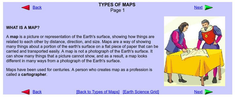
What Is a Map?
Do you want to know what a map is? If you look here, you will find why we have them and their uses.
NASA
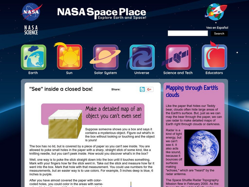
Nasa: Probing Earth Through the Clouds
This site from the National Aeornautics and Space Administration provides a fun activity for the subject. "Clouds often hide large areas of the Earth's surface. We can use radar to make detailed maps of Earth right through clouds or...
Climate Literacy
Clean: Earth's Albedo
This engaging activity introduces students to the concept of albedo and how it relates to Earth's energy balance. They measure the albedo using maps, data tables, and a shaker filled with popcorn kernels. Then, they estimate the Earth's...
Science Education Resource Center at Carleton College
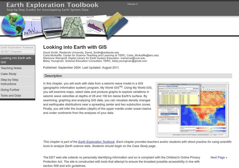
Serc: Looking Into Earth With Gis
Multi-activity activity where students will work with data from a seismic wave model in a GIS (geographic information system) program. They will examine maps, select data, and produce graphs to explore variations in seismic wave...
American Geosciences Institute
American Geosciences Institute: Earth Science Week: Surficial Features
Using a surficial features map, students see the connections between those features and other Earth systems. They will consider the interactions of the geosphere, hydrosphere, biosphere, and atmosphere.
Science Education Resource Center at Carleton College
Serc: Analyzing Plate Motion Using Earth Scope Gps Data
In this chapter, you will access Global Positioning System (GPS) data from the Plate Boundary Observatory (PBO) and analyze the data in a spreadsheet to measure the motion of GPS stations in the Pacific Northwest. From your analyses, you...


