NASA
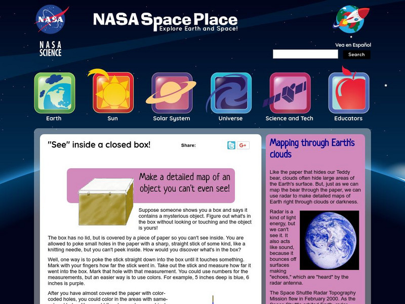
Nasa: Probing Earth Through the Clouds
This site from the National Aeornautics and Space Administration provides a fun activity for the subject. "Clouds often hide large areas of the Earth's surface. We can use radar to make detailed maps of Earth right through clouds or...
American Geosciences Institute
American Geosciences Institute: Earth Science Week: Surficial Features
Using a surficial features map, students see the connections between those features and other Earth systems. They will consider the interactions of the geosphere, hydrosphere, biosphere, and atmosphere.
American Geosciences Institute
American Geosciences Institute: Earth Science Week: Seismic Mapping
Students become scientists, and learn about the usef of seismic technology to map patterns of rock formations below the surface of the Earth.


