US Geological Survey
Usgs: Earth Surface Dynamics (Research Activities)
This site from USGS provides several activities to help understand the interrelationships among earth surface processes, ecological systems, and human activities. Also included are links to new findings and programs concerning Earth...
National Association of Geoscience Teachers
Quaternary Glacio Fluvial History of the Upper Midwest Using Anaglyph Stereo Maps
Students examine the anaglyph stereo map and use textures to generate a surficial geology map of the Upper Midwest. They can then interpret the textures in terms of landforms, geomorphic features, and earth-surface processes, as well as...
Math Science Nucleus
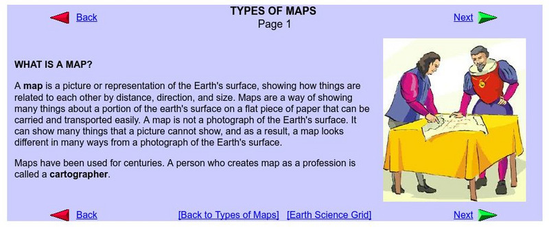
What Is a Map?
Do you want to know what a map is? If you look here, you will find why we have them and their uses.
Science Education Resource Center at Carleton College
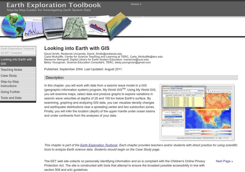
Serc: Looking Into Earth With Gis
Multi-activity activity where students will work with data from a seismic wave model in a GIS (geographic information system) program. They will examine maps, select data, and produce graphs to explore variations in seismic wave...
Other
Monroe County Women's Disability Network: Maps & Globes: Water Forms
This site is provided for by the Monroe County Women's Disability Network. Some basic information about water on our planet and the various water forms that make up three-quarters of the earth's surface. Includes some simple quizzes to...
NOAA
Noaa: National Ocean Service Education: Global Positioning Tutorial
Illustrated tutorial explains the history and science of geodesy. Animations help students visualize how scientists measure and monitor the size and shape of the Earth and the location of points on its surface.
National Weather Service
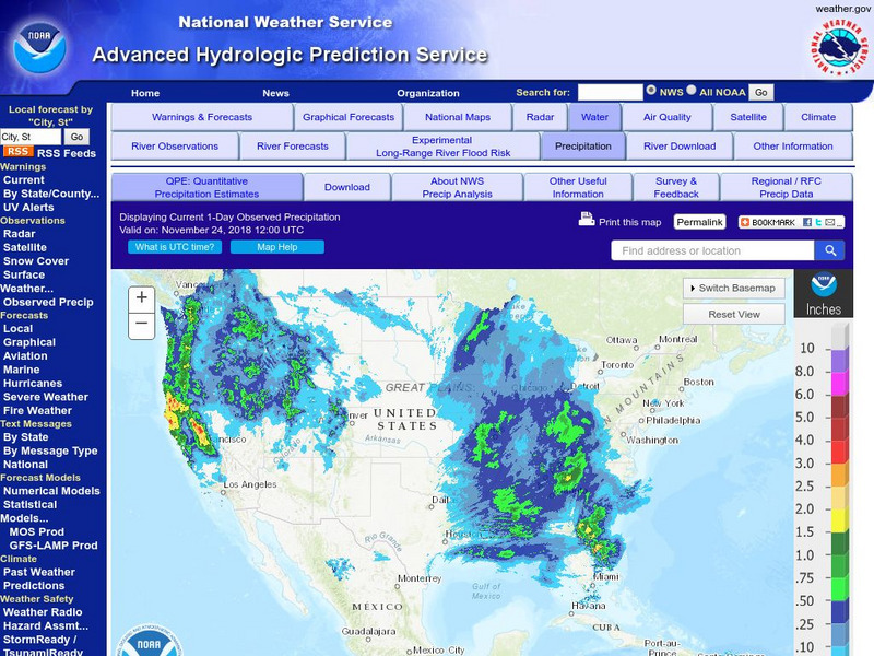
National Weather Service:climate Prediction Center: Daily Precipitation Analysis
Find real-time daily precipitation analysis for the United States, Mexico, and South America as well as accumulated precipitation maps for the past 30 or 90 days.
Incorporated Research Institutions for Seismology
Iris: Earthquake Browser
A live, real-time data global map of all current earthquake activity.
US Geological Survey
U.s. Geological Survey: Water Science for Schools
A collection of resources--pictures, maps, data, glossary--about water and the water cycle.
US Geological Survey
Usgs: Water Science Glossary of Terms
The United States Geological Survey offers a complete look at water science in glossary form. Take advantage of the topic guides at the top of the site. You'll find great maps, clipart and activities centers. Click Home to access the...
Other
Ohio Wesleyan University: World Political Boundaries
This site has a photograph of a detailed, colorful map of political boundaries around the world with a zoom feature for a closer look. A brief description of how economic boundaries relate to political ones.
National Geographic
National Geographic: Geostories: Geography on the Job
Each story point in this Geostory includes images, a short bio, and an interactive mapping tool that allows students to see the regions where geography work takes place.
NASA
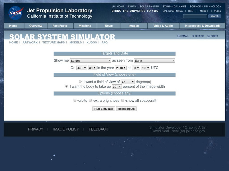
Nasa: Surface Maps of the Solar System
Solar system surface map database. Includes maps of all solid planets and many moons. Maps of gas planets are either based on images taken by Voyager, or are fictitious maps including general storm systems.
Indiana University
Indiana University Bloomington: Cupcake Drilling [Pdf]
For this lesson, students will model geologic drilling using layered cupcakes to learn about rocks below the Earth's surface. Students will locate features on a geologic map and observe cupcake cores to evaluate the scientific techniques...
ClassFlow
Class Flow: Tornados in the Us
[Free Registration/Login Required] Overview: In this lesson, students will learn the basics about how tornadoes are formed, and when and where they are most likely to occur. They will learn that the United States is the country most...
NASA
Nasa: Aerial Photography: The Adventures of Amelia the Pigeon
An animated adventure story, developed by NASA, that helps children understand earth science concepts by using satellite photography and other types of aerial photographs to identify physical features on the surface of the earth. Teaches...
NASA
Nasa: Magellan Mission to Venus
This home page from NASA offers Venus images taken by Magellan and other highlights from the mission. In orbit around Venus for four years this mission provided maps of 98 percent of the surface of Venus that are more detailed than most...
E-learning for Kids
E Learning for Kids: Science: Seychelles: Earthquakes and Effects
Students learn about what happens inside the Earth to cause an earthquake, how earthquakes are measured, their impact on the surface, and safety precautions to take during an earthquake.


