National Association of Geoscience Teachers
Nagt: Discovering Plate Boundaries
Students work collaboratively using data maps to discover plate tectonic boundary processes. Data sets used are earthquakes, volcanoes, seafloor age, and topography.
Incorporated Research Institutions for Seismology
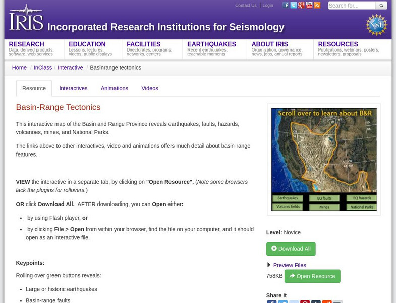
Iris: Basin Range Tectonics
This interactive map of the Basin and Range Province reveals earthquakes, faults, hazards, volcanoes, mines, and National Parks.
US Geological Survey
Usgs: Developing the Theory
This comprehensive overview of continental drift takes a historical look at the various types of evidence which led to the development of the theory.
Math Science Nucleus
I. Science Ma Te: Integrating Science, Math and Technology
This site offers a wealth of online textbook-related materials that encourage the discovery of science in the world around us. Enter the site to access material on specific topics. Each section contains reading material (complete with...
Extreme Science
Extreme Science
Explore the science behind the "extremes" in our world. Organized into sections on earth science, the animal kingdom, technology, and space science, this site opens your eyes to giant creatures, amazing technological advances, vast...
Wikimedia
Wikipedia: Pacific Ring of Fire
Wikipedia offers information on the location of the Pacific Ring of Fire, an area of frequent earthquakes and volcanic eruptions. Map included.
Science Buddies
Science Buddies: Ring of Fire 1: What Volcanoes Tell Us About Plate Tectonics
The Ring of Fire is a region of volcanic and earthquake activity that surrounds the Pacific Ocean. In this project you can explore the connection between plate tectonics and volcanic activity by mapping historical data.
Curated OER
A Damaged House in Sopore North of Srinagar
Detailed coverage of the earthquake that rocked South Asia in October, 2005. Article includes video, pictures, maps, and more.
Curated OER
Bbc: Hundreds Die in South Asia Quake
Detailed coverage of the earthquake that rocked South Asia in October, 2005. Article includes video, pictures, maps, and more.
Curated OER
Quake's Terrible Toll Is Revealed
This in depth article by the BBC sheds light on the devastation caused by the Pakistani earthquake in 2005. Videos and maps can be viewed on this site also.
Curated OER
Quake's Terrible Toll Is Revealed
This in depth article by the BBC sheds light on the devastation caused by the Pakistani earthquake in 2005. Videos and maps can be viewed on this site also.
Curated OER
Quake's Terrible Toll Is Revealed
This in depth article by the BBC sheds light on the devastation caused by the Pakistani earthquake in 2005. Videos and maps can be viewed on this site also.
Science Education Resource Center at Carleton College
Serc: A Data Rich Exercise for Discovering Plate Boundary Processes
This article in the Journal of Geoscience Education describes a classroom exercise based on four world maps containing earthquake, volcano, topographical and seafloor age data. Students participate in this exercise by using a "jigsaw"...
Science Education Resource Center at Carleton College
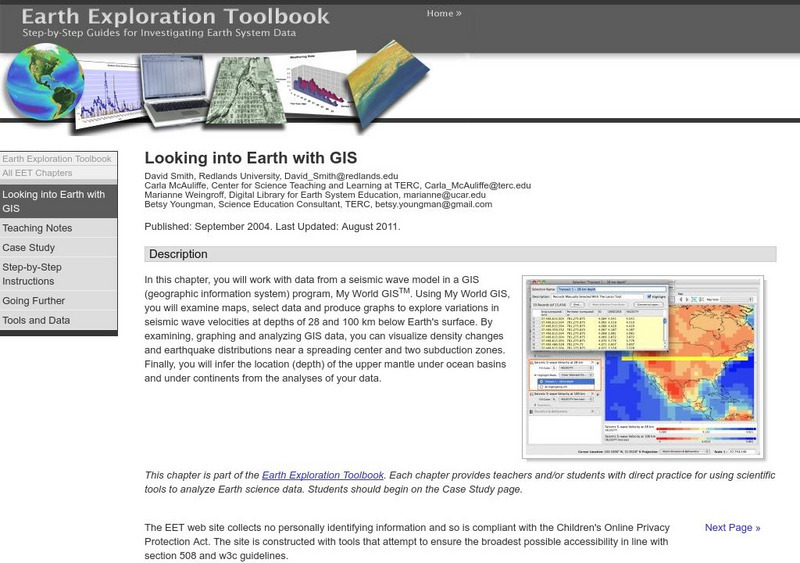
Serc: Looking Into Earth With Gis
Multi-activity activity where students will work with data from a seismic wave model in a GIS (geographic information system) program. They will examine maps, select data, and produce graphs to explore variations in seismic wave...
Oswego City School District
Regents Exam Prep Center: Earth Science
Resource for earth science review, with the following topics covered: composition of the Earth, mapping, rocks and minerals, weathering, and earthquakes. Includes a collection of online quizzes, review materials, old exams, and references.


