Other
Geological Survey Program: Facts About the New Madrid Seismic Zone
It's surprising to find out that the New Madrid Seismic Zone is the most seismically active area in the United States. The facts go into the New Madrid fault very scientifically and are very detailed. Find maps and charts showing...
University of Washington
University of Washington: A Survey of Great Tsunamis
This resource opens up with a clickable map that will provide information on eight different tsunamis, such as the 1929 Grand Banks tsunami, the 1975 Hawaiian tsunami, and several others. Basic information and the damage caused by each...
Columbia University
Scientific Background on the Indian Ocean Earthquake and Tsunami
This site features information and related links that can be used by students and scientists to understand the events that led to the December 2004 Indian Ocean tsunami.
US Geological Survey
U.s. Geological Survey: Did You Feel It?
Locate all the most recent earthquakes on this interactive map. Data includes location, magnitude and time of the quake.
Incorporated Research Institutions for Seismology
Iris: Long Valley Caldera
Long Valley Caldera area has had a history of eruptions and earthquake swarms. Learn more with this interactive map that reveals geology, eruptions, earthquakes, and more.
Science Education Resource Center at Carleton College
Serc: Getting to the Point: Exploring Tectonic Motion Point Reyes Seashore
The intent of this module is for students to make straightforward numerical calculations as they learn about earthquake geology at a National Park.
Science Education Resource Center at Carleton College
Serc: Bot Ec: The San Andreas Fault's Rate of Movement
The San Andrea is an active fault zone, marked by frequent earthquake activity. The crust southwest of this strike-slip fault (including Los Angeles) is sliding to the northwest relative to the other side. It is possible to estimate the...
PBS
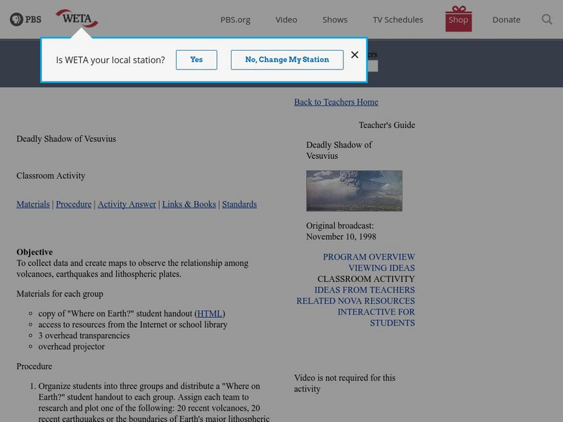
Pbs Teachers: Deadly Shadow of Vesuvius
Observe the relationship among volcanoes, earthquakes and lithospheric plates by collecting data and creating maps. This activity was created to be used with the NOVA program, "Deadly Shadow of Vesuvius" but the video is not necessary...
BBC
Bbc: Hundreds Die in South Asia Quake
Detailed coverage of the earthquake that rocked South Asia in October, 2005. Article includes video, pictures, maps, and more.
Smithsonian Institution
National Museum of Natural History: This Dynamic Planet
Research and explore past earthquake and volcanic activity on this interactive world map. User can manipulate which notable events and other map characteristics to view depending on the type of study being done.
US Geological Survey
U.s. Geological Survey: Magnitude 9.0 Near the East Coast of Honshu, Japan
Facts and figures on the earthquake and tsunami in Japan in March, 2011. Be sure to click on the tabs across the top that provide: summary, maps, scientific and technical information, as well as information on the tsunami.
E-learning for Kids
E Learning for Kids: Madagascar: What Are Tectonic Plates and How Are They Moving?
This lesson teaches students about tectonic plates, plate boundaries, and their role in earthquakes and volcanoes.
Curated OER
Etc: Earthquake Activity in the United States, 1872 1882
A map from 1888 of the United States showing the regions shaken by earthquakes since 1872 and the extent of the area in which the earthquake was felt. The month and year of each earthquake is indicated in its boundary line.
Curated OER
Etc: Maps Etc: Mexico, Central America, and the West Indies, 1898
A map from 1898 of Mexico, Central America and the West Indies. The map includes an inset map of Cuba and the Isthmus of Nicaragua. "The surface of the Rocky Mountain highland in Mexico is quite similar to that of the great plateau...
Curated OER
Etc: Maps Etc: Physical Map of South America, 1898
A map from 1898 of South America showing the general physical features including mountain systems, prominent peaks and volcanoes, river and lake systems, plateaus, and coastal features. The map includes an insert of the Isthmus of...
Science Education Resource Center at Carleton College
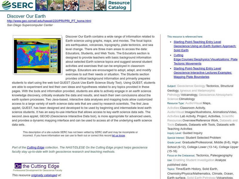
Serc: Discover Our Earth
Study earthquakes, volcanoes, topography, plate tectonics, and sea level change using graphs, maps, and movies. Engage in earth science knowledge discovery, critically evaluate the data and results, and reach conclusions about the earth...
Other
Earth Waves: Our Changing Planet
A compilation of information from volunteers on earthquakes and earthquake prediction. Includes a lot of information on quakes in the California area plus some nice maps.
Other
University of Delaware: Plate Tectonics
This site is a very simple overview of plate tectonics. It includes a map of all the major plates and a diagram of the layers of the earth.
Curated OER
Villagers in Balakot Carry Away an Injured Earthquake Victim
This in depth article by the BBC sheds light on the devastation caused by the Pakistani earthquake in 2005. Videos and maps can be viewed on this site also.
BBC
Bbc News: Quake's Terrible Toll Is Revealed
This in depth article by the BBC sheds light on the devastation caused by the Pakistani earthquake in 2005. Videos and maps can be viewed on this site also.
PBS
Pbs: Anatomy of a Tsunami
Scientists used maps and seismic data to produce a computer simulation that accurately shows the creation of the wave that shook the world. In this interactive, examine some of the models and images that reveal details of the tsunami...
Science Education Resource Center at Carleton College
Serc: Discovering Plate Boundaries
A data rich exercise built around four global data maps to help students discover the processes that occur at plate tectonic boundaries. The lesson is based on the jigsaw concept, mixing the students to work in different groups during...
NASA
Nasa: Earth Science Games
Have fun while exploring earth science. NASA offers seven games online games: Droplet and the Water Cycle, What on Earth?, Word Puzzles, Drag 'n Drop Puzzles, Pangaea Map Game, Tectonics Quiz, and Color Me!
TeachEngineering
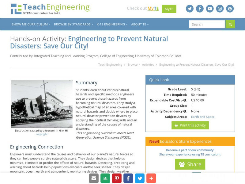
Teach Engineering: Save Our City!
Students learn about various natural hazards and specific methods engineers use to prevent these hazards from becoming natural disasters. They study a hypothetical map of an area covered with natural hazards and decide where to place...


