Curated OER
Population and Population Density
Students read and interpret graphs. In this population activity, students explore population and population density as they read several data graphs and respond to questions.
Curated OER
Exploring our Community
Students research Los Angeles and its surrounding communities. They create digital presentations of the information they have gathered by answering the question included in the lesson.
Curated OER
Amazon Rainforest Unit
Learners study the Amazon Rainforest. In this geography skills lesson plan, students complete assigned textbook reading on the region and then complete an Internet activity that requires them to identify countries in the region as well...
Curated OER
Plate Tectonics
Students complete a data sheet. In this Earth composition lesson, students learn what happens when the Earth's plates push against each other. They watch a teacher demonstration and complete a data sheet.
Curated OER
Effects Of Natural Disasters On Environment
Students investigate the concept of how natural disasters effect the environment. They conduct research using a variety of resources. They are given a scenario that needs a defensive speech. Students take a position and defend it by...
Curated OER
Tic-Tac-Toe for Layers of the Earth
Eighth graders identify the different layers of the earth. In this earth science lesson, 8th graders choose a project to do from a given list according to their learning style. They present their finished project in class.
Curated OER
Geography: World Dynamics
Students discuss and examine how the world is changing. After reading an article, they discover the immediate changes that have taken place and how they have effected living things. They complete a worksheet identifying the changes as...
Curated OER
Tracking the Weather Using Technology
Fourth graders explore the use of technology to monitor and forecast weather. They investigate the different types of weather monitoring and forecast tools. Students interpret radar images and discuss the traditional types of weather...
Curated OER
"Tsunamis"
High schoolers visit a PBS Website about tsunamis to consider their causes, effects and steps countries have taken to try to defend against them. They answer questions and create a brochure explaining tsunami facts and procedures to...
Curated OER
Hurricane Katrina Relief
Students research philanthropic organizations that helped after Hurricane Katrina. They organize a collection drive to contribute to the nonprofit organization. They reflect on their efforts.
Curated OER
Guatemala
Fifth graders explore what types of projects the Peace Corp is doing to help Guatemala.
Curated OER
Research Report on Earth Science Topics
Sixth graders are given a variety of Earth Science topics which be covered during the year. They select one of their choices to research and work in class and at home to meet the guidelines for their report.
Curated OER
Exploring our Community
Students research the geography and history of Los Angeles and its surrounding communities.
Curated OER
News Broadcasts
Students create a news broadcast after studying example broadcasts about disaster relief organizations. In this broadcast news lesson, students research disaster relief organizations and then write a news broadcast related to a disaster....
US Geological Survey
U.s. Geological Survey:the Great M9.2 Alaska Earthquake of March 27, 1964
A description of the earthquake in Prince William Sound, Alaska in 1964. Links to isoseismal map, earthquake damage photos, and seismogram of the earthquake.
US Geological Survey
U.s. Geological Survey: Real Time Earthquake Map
An interactive, real-time map showing current earthquakes happening all over the world. Students may choose options for which earthquakes to display by age, depth, magnitude, or intensity.
PBS
Pbs Learning Media: Global Earthquakes Activity and Seafloor Features
Learners will examine patterns between volcanic activity and seafloor features. NASA tracked volcanic activity for 15 years and created an animated map from their data. Compare this map to a map of seafloor features to reveal interesting...
Other
Digital Library for Earth System Education: Teaching Box: Earthquake Country
A suite of lessons focusing on all aspects of earthquakes. Inquiry-based exploration of earthquakes includes measuring seismic waves, predicting earthquakes, investigating magnitude and intensity, mapping fault lines, and evaluating...
The Washington Post
Washington Post: Mapping America's Wicked Weather and Deadly Disasters
Features data collection for natural disasters and maps the trends giving us an idea of where disasters have a tendency to strike.
Incorporated Research Institutions for Seismology
Iris: Earthquake Browser
A live, real-time data global map of all current earthquake activity.
Other
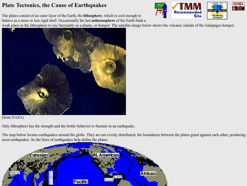
Nevada Seismological Laboratory: Plate Tectonics, the Cause of Earthquakes
This site contains an in-depth explanation of the causes of earthquakes as they relate to plate tectonics, and also has many nice and easy to read pictures, maps, and diagrams of plate tectonics and earthquakes.
US Geological Survey
Us Geological Survey: Earthquake Hazards
Find out about earthquake hazards and damage. Some of the topics are an introduction to hazards, hazard maps, soil types and damage, and recent damage caused by earthquakes.
US Geological Survey
U.s. Geological Survey: Earthquake Lists, Maps, and Statistics
All kinds of earthquake data compiled here. Find the deadliest earthquakes, most damaging earthquakes, world and US statistics, historical earthquake lists, and more.
American Geosciences Institute
American Geosciences Institute: Earth Science Week: Geologic Maps & Earthquakes
This activity is designed to give students practice using a geologic map to assess the likelihood and location of a particular natural hazard- earthquakes- in California.
