US Geological Survey
U.s. Geological Survey:the Great M9.2 Alaska Earthquake of March 27, 1964
A description of the earthquake in Prince William Sound, Alaska in 1964. Links to isoseismal map, earthquake damage photos, and seismogram of the earthquake.
US Geological Survey
U.s. Geological Survey: Real Time Earthquake Map
An interactive, real-time map showing current earthquakes happening all over the world. Students may choose options for which earthquakes to display by age, depth, magnitude, or intensity.
Incorporated Research Institutions for Seismology
Iris: Earthquake Browser
A live, real-time data global map of all current earthquake activity.
US Geological Survey
Us Geological Survey: Earthquake Hazards
Find out about earthquake hazards and damage. Some of the topics are an introduction to hazards, hazard maps, soil types and damage, and recent damage caused by earthquakes.
US Geological Survey
U.s. Geological Survey: Earthquake Lists, Maps, and Statistics
All kinds of earthquake data compiled here. Find the deadliest earthquakes, most damaging earthquakes, world and US statistics, historical earthquake lists, and more.
American Geosciences Institute
American Geosciences Institute: Earth Science Week: Geologic Maps & Earthquakes
This activity is designed to give students practice using a geologic map to assess the likelihood and location of a particular natural hazard- earthquakes- in California.
E-learning for Kids
E Learning for Kids: Science: Seychelles: Earthquakes and Effects
Students learn about what happens inside the Earth to cause an earthquake, how earthquakes are measured, their impact on the surface, and safety precautions to take during an earthquake.
Natural History Museum
Natural History Museum: Volcanoes and Earthquakes
As an online exhibit from the Natural History Museum, this site provides three videos on natural processes of Earth. The videos cover tsunamis, earthquakes, and volcanoes.
US Geological Survey
U.s. Geological Survey: Earthquakes: Liquefaction
Maps and images that show liquefaction, the process by which water-filled sediment loses strength and acts like a fluid.
Other
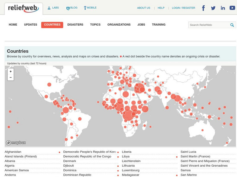
Relief Web: Countries
This resource provides information on countries throughout the world, current news, and different types of maps.
University of Wisconsin
Scien Count Ers: Earthquake Proof Buildings
This lesson looks at how the forces of an earthquake impact on buildings, and different ways to make buildings earthquake-proof. Includes student worksheet and tectonic plates map.
Texas State Historical Association
Texas State Historical Association: Notable Earthquakes Shake Texas [Pdf]
An activity guide where students refer to the Texas Almanac, which is free to download, for information needed to complete assigned tasks. In this instructional activity, they research earthquakes that have taken place in Texas, and the...
Science Education Resource Center at Carleton College
Serc: Fairly Simple Geology Exercises
A collection of geology exercises which include relevant background information, complete instructions, student handouts, and answer keys. Topics include rock and mineral identification, Bowen's reaction series, crystal models,...
US Geological Survey
U.s. Geological Survey: Search Earthquake Catalog
Use this interactive map to find out about earthquakes which have happened around the world since about 1970.
US Geological Survey
U.s. Geological Survey: Learning About Earthquakes Coloring Pages
Coloring pictures of seismic waves, earthquake safety and hazard maps. [PDF] Links to other handy tools, including trivia, stories, games and fun projects.
California Institute of Technology
Scec: Significant Earthquakes and Faults
An interactive map of significant earthquakes and faults in southern California. Click on each earthquake icon, and see a brief overview of each event.
Smithsonian Institution
National Museum of Natural History: Global Volcanism Program: This Dynamic Planet
Interactive activity that allows the learner to make their own regional map using layers of their choice such as volcanoes, craters, plate tectonics, or earthquakes. This map of the Earth zooms in and out, highlights essential processes,...
University of Washington
University of Washington: A Survey of Great Tsunamis
This resource opens up with a clickable map that will provide information on eight different tsunamis, such as the 1929 Grand Banks tsunami, the 1975 Hawaiian tsunami, and several others. Basic information and the damage caused by each...
Columbia University
Scientific Background on the Indian Ocean Earthquake and Tsunami
This site features information and related links that can be used by students and scientists to understand the events that led to the December 2004 Indian Ocean tsunami.
US Geological Survey
U.s. Geological Survey: Did You Feel It?
Locate all the most recent earthquakes on this interactive map. Data includes location, magnitude and time of the quake.
Incorporated Research Institutions for Seismology
Iris: Long Valley Caldera
Long Valley Caldera area has had a history of eruptions and earthquake swarms. Learn more with this interactive map that reveals geology, eruptions, earthquakes, and more.
Science Education Resource Center at Carleton College
Serc: Getting to the Point: Exploring Tectonic Motion Point Reyes Seashore
The intent of this module is for students to make straightforward numerical calculations as they learn about earthquake geology at a National Park.
Science Education Resource Center at Carleton College
Serc: Bot Ec: The San Andreas Fault's Rate of Movement
The San Andrea is an active fault zone, marked by frequent earthquake activity. The crust southwest of this strike-slip fault (including Los Angeles) is sliding to the northwest relative to the other side. It is possible to estimate the...
BBC
Bbc: Hundreds Die in South Asia Quake
Detailed coverage of the earthquake that rocked South Asia in October, 2005. Article includes video, pictures, maps, and more.


