Hi, what do you want to do?
Curated OER
Educational Technology Clearinghouse: Maps Etc: South China, 1971
"South China comprises the drainage basins of the middle and lower Yangtze River, the basin of the His Chiang (West River) in Kwangtung and Kwangsi; and the mountainous coastal provinces of Fukien and Chekiang. The division between the...
Curated OER
Educational Technology Clearinghouse: Maps Etc: Rainfall in North America, 1898
A map from 1898 of North America, Central America, Greenland, and the Caribbean to Puerto Rico showing the general distribution of rainfall in the region. The map shows areas of little or no rainfall to areas of heavy rainfall. The map...
Curated OER
Etc: Maps Etc: Physical and Cultural Geography of Europe, 1915
Six maps of Europe showing the average rainfall, the major climate zones, agricultural products (rye, corn, wheat, rice, and sugar beets), industrial products (iron, textile, and coal), ethnic groups, and religions.
Curated OER
Etc: Maps Etc: Population Distribution of Asia, 1921
A base map of Asia from 1921 showing the general population distribution of the region at the time. "The climate of southeastern Asia is so warm and moist that food plants grow there in abundance. Nearly half the people of the world live...
Curated OER
Etc: Maps Etc: Physical and Cultural Geography of the German Empire, 1915
Six maps of the German Empire showing the average rainfall, the major climate zones, metal industrial products and mining (iron, coal, silver, copper, and salt), textile industrial products (silk, wool, cotton, and linen) ethnic groups,...
Cornell University
Cornell University: The Regional Climate Centers
Site provides information on the National Climatic Data Center's Regional Climate Centers Program. Click a region on the map of the United States and find information about that region's climate!
Other
Canadian Arctic Profiles
Detailed sections providing further information on the Canadian Arctic's exploration, climate, maps, migration, and indigenous people, make this resource useful for many topics. Put together with images, this resource is useful for high...
Curated OER
Ed Tech Clearinghouse: Maps Etc: Zoogeographic Areas of North America, 1906
A zoogeographic map of North America and Central America from 1906 showing life zones of the region based on climate conditions.
Curated OER
Educational Technology Clearinghouse: Maps Etc: North China, 1971
" North China includes the densely populated and intensively cultivated North China Plain, the loess-covered uplands of Shansi, northern Shensi, and eastern Kansu, and the sparsely populated, semiarid steppes of Inner Mongolia....
Curated OER
Educational Technology Clearinghouse: Maps Etc: Europe (Physical), 1868
A map from 1868 of Europe, showing the physical features, climate, and commercial resources of the region. Mountain chains are represented by lines of varying thickness, with the broader the line, the greater the elevation. The highest...
Curated OER
Educational Technology Clearinghouse: Maps Etc: Industrial Sections, 1898
A map from 1898 of the United States showing the Industrial Sections of the contiguous 48 states at the time. "Owing largely to differences in surface structure, climate, and soil, the great productions of our country are confined more...
Curated OER
Click Here to See an Altitude Map
This site from the Virtual Sun gives a detailed account of the geographical region once inhabited by the Maya People. It describes the landscape, climate, and altitude.
Curated OER
Click Here to See a Rainfall Map
This site from the Virtual Sun gives a detailed account of the geographical region once inhabited by the Maya People. It describes the landscape, climate, and altitude.
Curated OER
Click Here to See a Temperature Map
This site from the Virtual Sun gives a detailed account of the geographical region once inhabited by the Maya People. It describes the landscape, climate, and altitude.
Other
Official Travel Information for Chile
Virtually visit Chile with this offering from the official tourism corporation, a private non-profit entity, whose mission is to promote Chilean travel industry internationally. Find out about Chilean activities, culture, weather,...
Adventure Learning Foundation
Adventure Learning Foundation: Chile Expedition
Thorough, informative site about the country of Chile. Besides factual information, this location also features a journal and photographs of the "World of Wonders" expedition.
World Facts US
World Facts: Geography of Brazil
Great comprehensive resource for learning about the geography of Brazil. Site iscusses the environment and climate at length and provides a link to a detailed map.
PBS
Amazon: South America
Map of South America in which students can use the interactive site to explore political, physical, climate and populaton features.
Nations Online Project
Nations Online: Hong Kong
Provides a country profile and comprehensive travel guide to Hong Kong, background details, and numerous links to key information on the nation's culture, history, geography, economy, environment, population, news, tourism, government,...
Nations Online Project
Nations Online: Qatar
Useful guide to a country profile of the Middle Eastern nation of Qatar featuring background details and numerous links to comprehensive information on the nation's culture, history, geography, economy, environment, population, news,...
Curated OER
Mapa Patagonia ing.gif (95635 Bytes)
Take an exciting tour of the Patagonia region in South America in this engaging site. Students discover the history, economy, geography, climate, and people of this region. It includes maps, journal excerpts,photographs, and classroom...
University of Texas at Austin
University of Texas: Human Environmental Interactions [Pdf]
Inspired by Hemispheres' 2004 Teachers' Summer Institute, People and Place: Human-Geographic Relations, this curriculum unit was designed to address human adaptation to and modification of the environment. How have humans adjusted to...
Other
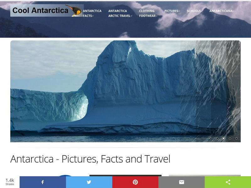
Cool Antarctica: Pictures, Information, and Travel Guide
A complete look at the continent of Antarctica. You can view pictures, utilize a fact file index, and get a historical timeline.
Other
Smis: Daily Satellite Photo: European Russia, Western Siberia, North East Europe
This site offers weather maps for three areas: European Russia, Western Siberia, and Northeast Europe. The maps show very current weather conditions for each area.


