Cayuse Canyon
The Us50
This clickable map of the United States gives students access to research information from history and tourism to attractions and famous historic figures.
US Geological Survey
Us Geological Survey: Glaciers Help Shape Mount Rainier
Description, facts, maps and history of Mt. Rainier, in Washington State. Also links to recent research and publications.
Library of Congress
Loc: America's History: District of Columbia
Brief basic facts about the District of Columbia including meaning of its name, date became a state, capital city, map.
US Department of Agriculture
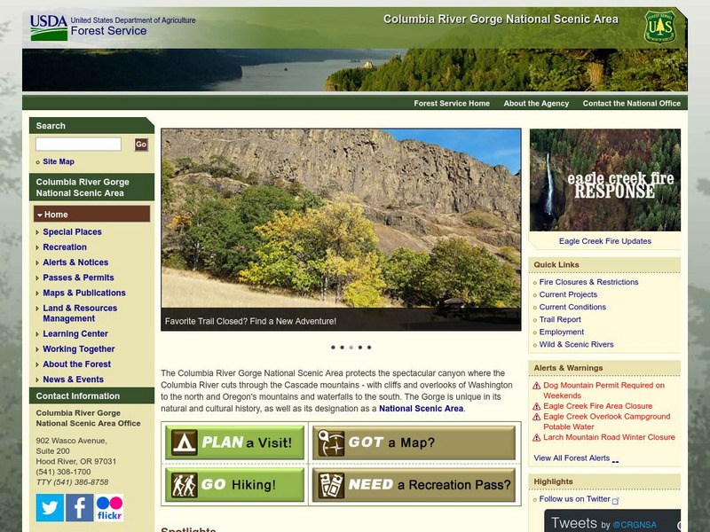
Columbia River Gorge National Scenic Area Columbia River
This site offers information about the Columbia River, its history and gorge geology.
Curated OER
Abolition Celebration in Washington, d.c.
This site provides several maps which depict the slave states and the free states. There are links that will connect you with an abolitionist song and information on John Brown.
Curated OER
Etc: The Us at the Outbreak of the Civil War, 1860 1861
A map of the United States at the outbreak of the Civil War (1860-1861) showing the States that seceded to form the Confederate States of America. The map also shows the territorial boundaries of the Washington Territory, Dakota...
BBC
Bbc Mundo: Mundo Latino
A special BBC feature, originally done as part of 2000 election coverage, on the growing presence and voting power of Latinos in the United States. Click US states on a map to see where and how Latino influence will be felt over the next...
Other popular searches
- Washington State Map
- U.s. States Map Washington
- Us States Map Washington
- Washington State Map Skills


