Utah Education Network
Uen: Lesson Plan: Maps and Me
Lesson to reinforce basic map skills. Learners discuss Me on the Map by Joan Sweeney, work in groups to create maps of the classroom, and use these maps to hunt for treasure.
Utah Education Network
Uen: Lesson Plan: Fairy Tale Maps
Lesson designed to introduce maps and the cardinal directions. After listening to the teacher read aloud or tell the story of Little Red Riding Hood, students retell the story and use cutouts of landmarks and arrows to create a map of...
HotChalk
Hot Chalk: Lesson Plans Page: Birdseye View, Mapping
Lesson that helps students understand that maps show a "birds-eye view" of a place. Students stand above a teacher-made model and discuss how the objects in the model looked from above. Then students draw objects from a birds-eye view,...
Better Lesson
Better Lesson: Comparing and Contrasting Our Stories With a Double Bubble Map
Young scholars will identify the similarities and differences between different versions of fictional stories by completing a double bubble map. Included in this lesson are teacher questions, a bubble map printable, a video of a class...
Utah Education Network
Uen: Lesson Plan: Map Trap
Lesson to reinforce maps skills and concepts. Students map locations around their school and use world maps to locate major landmarks.
Utah Education Network
Uen: Lesson Plan: Map the Path in My Father's Dragon
Lesson that helps students understand map concepts. After listening to the teacher read aloud each chapter of My Father's Dragon by Ruth Stiles Gannett, students discuss the book and use a map and general direction terms to describe the...
American Geosciences Institute
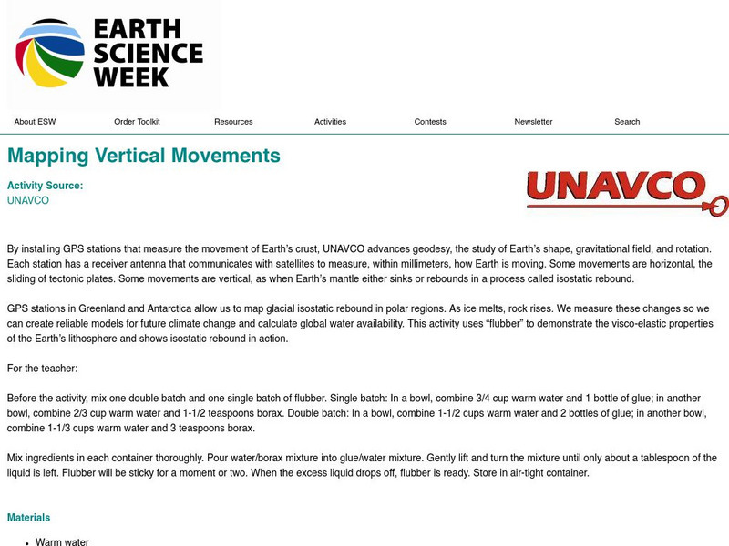
American Geosciences Institute: Earth Science Week: Mapping Vertical Movements
Using flubber and plastic wrap, learners study the Earth's crust and mantle.
US Geological Survey
U.s. Geological Survey: Map Your Schoolyard
Lesson plan introduces the concept of maps while providing a forum to practice the skill of navigating using a map.
PBS
Pbs Teachers: Scientific American: Make Up Your Mind: Mind Mapping
Investigate the pseudoscience of phrenology and its attempt to organize and assign different purposes to different parts of the brain. Create a phrenology chart on a bathing cap and compare it to modern understanding of brain function...
American Geosciences Institute
American Geosciences Institute: Earth Science Week: Mapping the Atmosphere
Students explore weather maps to study the atmosphere.
Utah Education Network
Uen: Mapping It Out
Learn about Utah's environments, temperature, elevation, and rainfall.
PBS
Pbs Teachers:wild Places: Follow Your Nose
Explore the migration behavior of various animals, and investigate the sense of smell as a tracking device for these migrations. Emulate salmons by following and scented path, and construct a map of the "river" as you head "upstream."
Alabama Learning Exchange
Alex: Expository Essay: State Trip
After researching a place/event of interest in Alabama, students write a five-paragraph essay. Students include maps and written directions to the location, describe activities and/or events associated with this location, include in this...
Alabama Learning Exchange
Alex: Where in the World Am I?
A collaborative distance learning project on world geography.Two classrooms will interact while solving clues about "mystery" counties.
George Mason University
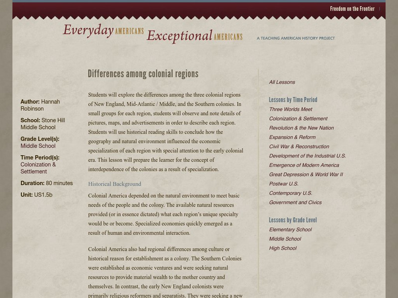
Chnm: Differences Among Colonial Regions
Young scholars will explore the differences among the three colonial regions of New England, Mid-Atlantic/Middle, and the Southern colonies. In small groups for each region, students will observe and note details of pictures, maps, and...
Smithsonian Institution
Smithsonian Learning Lab: Contrasts in Blue: Life on the Caribbean Coral Reef and the Rocky Coast of Maine
Smithsonian Education presents Contrasts in Blue: Life on the Caribbean Coral Reef and the Rocky Coast of Maine. Teachers can download this comprehensive teaching package in which students explore two marine ecosystems, the coral reefs...
Better Lesson
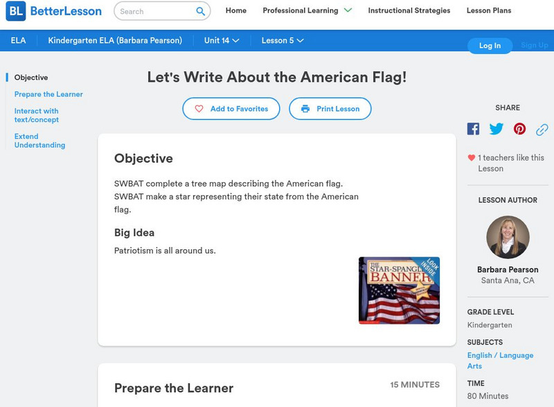
Better Lesson: Let's Write About the American Flag
Students will brainstorm adjectives to describe the American Flag and will write two descriptive sentences for homework. Students will also create star art to accompany their writing to show the relationship between words and pictures...
American Geosciences Institute
American Geosciences Institute: Earth Science Week: Energy and Population
Learn about how the population of a state is related to the energy consumed by studying these maps in this lesson plan.
Alabama Learning Exchange
Alex: Plan the Adventure of a Lifetime With Lewis and Clark
This plan is the first lesson plan in my unit on Lewis and Clark. This is a project-based, hands-on unit in which students "become" part of the Corps of Discovery - the members traveling in the Lewis and Clark Expedition. In this lesson...
US Geological Survey
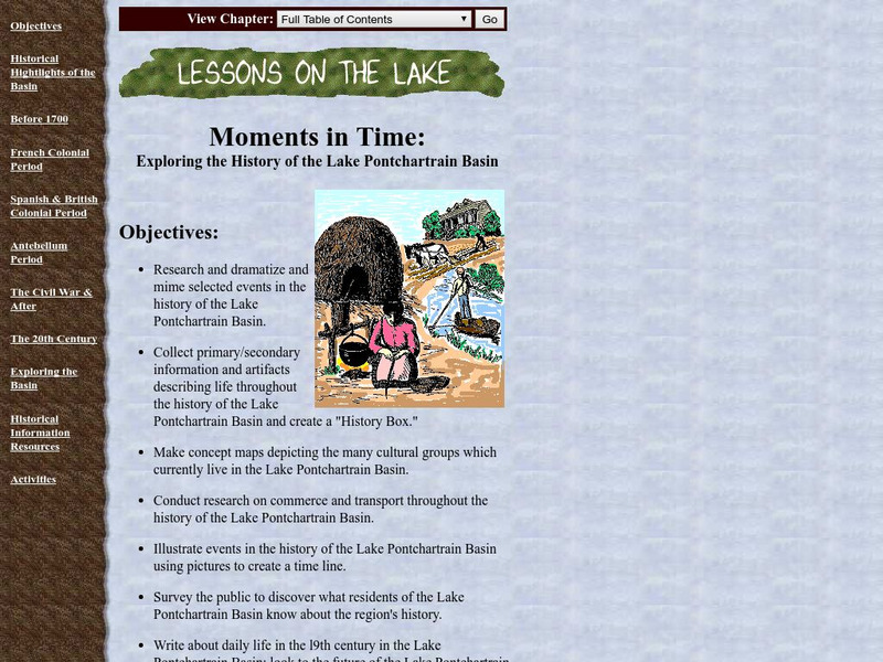
Lake Pontchartrain Basin Foundation: Exploring the History of the Lake
A collection of lessons where students explore the history of Lake Pontchartrain Basin. By researching and finding primary and secondary documents and artifacts, students will create a time line, concept map, and journals about daily...
Other popular searches
- Map Skills Lesson Plans
- Map Skills Worksheets
- Elementary Map Skills
- Geography Map Skills
- Basic Map Skills
- Social Studies Map Skills
- Globe and Map Skills
- Beginning Map Skills
- United States Map Skills
- Map Skills, Continents
- Early Explorers Map Skills
- Free Map Skills Worksheets


