National Geographic
National Geographic: Mapping the Classroom
Learning to use and create maps builds students' spatial thinking skills as well as language skills in the early years. In this lesson, students practice using the language of location and then apply that language when creating a map of...
Other
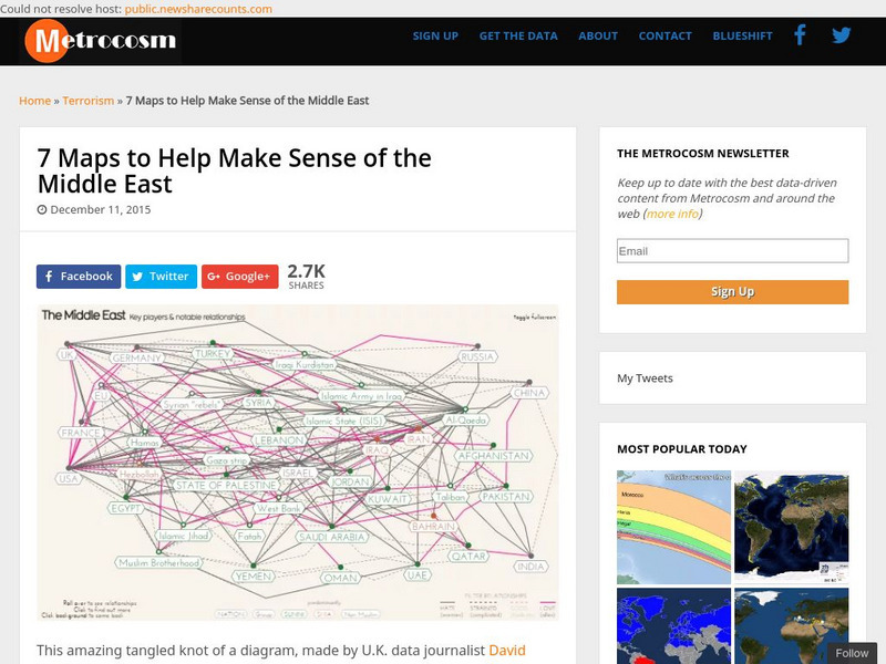
Metrocosm: 7 Maps to Help Make Sense of the Middle East
Keep up to date with the everchanging Middle East Region. The Middle East has been a tangled web of alliances since WWI. These maps attempt to make sense out of the this often confusing area. The 7 maps show the relationships among...
Wisconsin Response to Intervention Center
Wisconsin Rt I Center: Semantic Maps for Morphological Analysis [Pdf]
Classroom teachers will learn about semantic maps to break words into meaningful word parts, an engaging instructional strategy tool. Teachers will learn how to implement semantic maps, understand how to measure progress with semantic...
Other
University of Northern Iowa: Study Skills
Collection of web sites that provide tips to help you study more effectively, manage your time, take better notes, and handle the stresses of school life.
Other
Mind Mapping: Visual Creative Thinking
Mind mapping is an effective tool that can help with the creative thinking process. This article explains what mind mapping is and it shows you how you can effectively use it to help with your creative process.
National Endowment for the Humanities
Neh: Edsit Ement: Carl Sandburg's "Chicago": Bringing a Great City Alive
In this lesson students examine primary source documents including photographs, film, maps, and essays to learn about Chicago at the turn of the 20th century and Carl Sandburg's famous poem. After examining the poem's use of...
National Health Museum
Access Excellence: The Human Genome Project
This site from Access Excellence gives an introduction to the Human Genome Project. The page links to a graphics gallery and to discussions about related ethical issues.
AdLit
Ad lit.org: Teaching Word Meanings as Concepts
The most effective vocabulary instruction teaches word meanings as concepts; it connects the words being taught with their context and with the students' prior knowledge. Six techniques have proven especially effective: Concept...
PBS
Pbs Learning Media: Earth's Systems Collection: Bringing the Universe to America's Classroom
Explore different landforms and bodies of water around the world, observe and map landforms and water features, and practice observation and analysis skills through a virtual landscape and animated adventure in Plum's Island Explorer....
US Holocaust Memorial Museum
U.s. Holocaust Memorial Museum: The Holocaust in Italy
The history of the Holocaust in Italy is generally well known, but to date there has been little systematic analysis of its spatial dimensions. The objective of this case study is to examine the Holocaust in Italy from a geographical...
Other
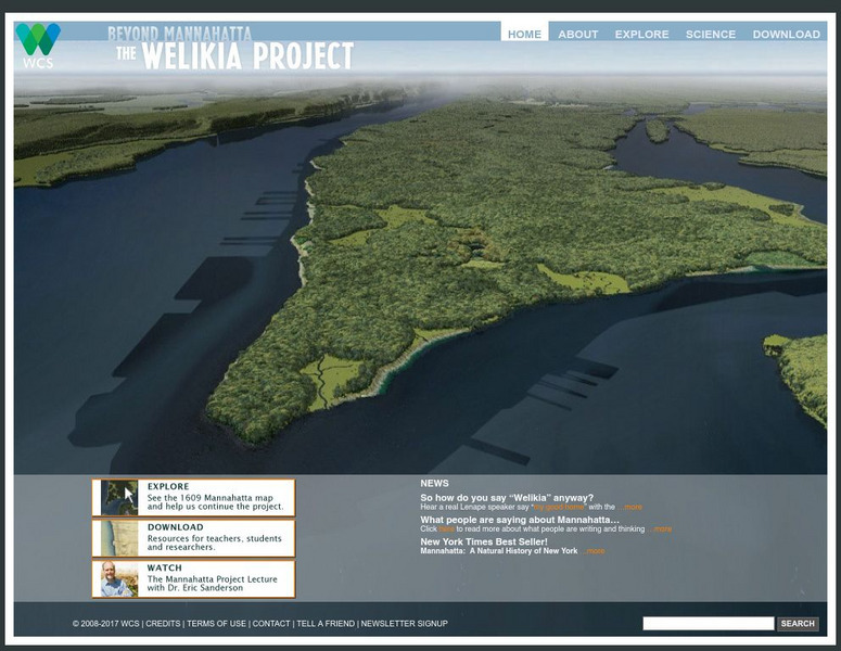
Beyond Mannahatta: The Welikia Project
The Welikia Project examined what the landscape of New York City looked like in 1609. Use the map to explore the city then and compare it to today. Provides a collection of thirteen lessons for upper elementary but which can be adapted...
US National Archives
National Archives: Congress Debates the Fate of the Nation
Students will use a copy of the Wilmot Proviso and a map used by President Polk in an address to Congress to debate whether territory acquired through the Mexican War should be free or slave states. This debate in Congress served as a...
Virginia History Series
Virginia History Series: Railroad Building in Virginia (1827 1860) [Pdf]
All aboard this slideshow on the building of railroads in Virginia. Study maps, charts and pictures of the major railways in Virginia and their impact on the economy. Be sure to take the quiz over the steam locomotive at the end!
University of Washington
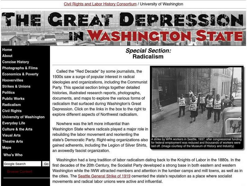
University of Washington: Radicalism
Students can study detailed histories, illustrated research reports, photographs, documents, and maps to explore the various forms of radicalism that surfaced during Washington's Great Depression.
Other
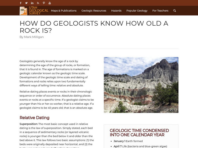
Utah Geological Survey: How Do Geologists Know How Old a Rock Is?
Geologists generally know the age of a rock by determining the age of the group of rocks, or formation, that it is found in. The age of formations is marked on a geologic calendar known as the geologic time scale. Development of the...
Other
Satellite Images Bridge Understanding Gap Between Climate Change and Individuals
This article discusses how Google Earth has brought the reality of climate change to the average person so that they can see it for themselves. The north and south poles are indicators of what is happening with climate change and an...
University of Maryland
University of Maryland: The Ancient Dynasties
A discussion of the Shang and Zhou Dynasties of Ancient China. Includes maps and information about ancient rulers.
Other popular searches
- Map Skills Lesson Plans
- Map Skills Worksheets
- Elementary Map Skills
- Geography Map Skills
- Basic Map Skills
- Social Studies Map Skills
- Globe and Map Skills
- Beginning Map Skills
- United States Map Skills
- Map Skills, Continents
- Early Explorers Map Skills
- Free Map Skills Worksheets


![Wisconsin Rt I Center: Semantic Maps for Morphological Analysis [Pdf] Professional Doc Wisconsin Rt I Center: Semantic Maps for Morphological Analysis [Pdf] Professional Doc](https://d15y2dacu3jp90.cloudfront.net/images/attachment_defaults/resource/large/FPO-knovation.png)


