The Newberry Library
Newberry: Political and Military History: Map 15: The World at War, 1944
Lesson for K-12 using historical map teaches learners about the relationship between perspectives of the world and map projections.
Other
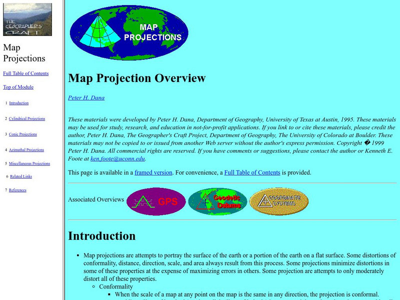
University of Connecticut: The Geographer's Craft: Map Projection Overview
An advanced overview of map projections with illustrative graphics. Created by Peter H. Dana, Department of Geography, University of Texas at Austin in 1995.
Rice University
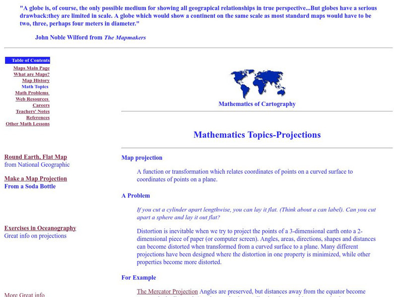
Rice University: Cynthia Lanius: Mathematics of Cartography: Projections
Understanding map projections is an important map-reading skill. Features graphics and links to examples of many different projections and an activity on making a Mercator projection.
University of Minnesota
University of Minnesota: Immigration: Projecting Maps, Making Representations
This resource compares four different world maps. The goals are to encourage critical thinking about maps as representations and to show how maps influence the ways in which one conceptualizes the world.
Other
The Story of the Us Told in 141 Maps
This collection of United States maps includes a year-by-year. Beginning from the Declaration of Independence and extending to present-day, students will learn explore and interact with these maps that change year-by-year.
Science Buddies
Science Buddies: Science Careers: Mapping Technician
Mapping technicians, also called surveying technicians, as their name suggests, use many different tools to make maps of many kinds. This Science Buddies site lays out the requirements needed to become a mapping technician, as well as...
Other
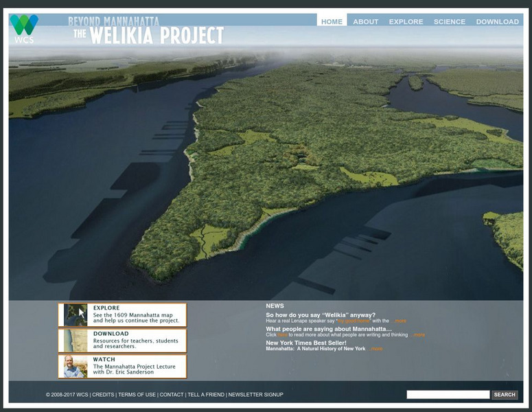
Beyond Mannahatta: The Welikia Project
The Welikia Project examined what the landscape of New York City looked like in 1609. Use the map to explore the city then and compare it to today. Provides a collection of thirteen lessons for upper elementary but which can be adapted...
Other
Widener University: The Nat Turner Project
The Nat Turner Project is a digital archive of primary source materials related to the Nat Turner Slave Rebellion, beginning with the experiences and living conditions of slaves prior to the revolt. The archive houses newspaper articles,...
Enchanted Learning
Enchanted Learning: Types of Maps
Enchanted Learning provides an easy-to-understand explanation of projections. Site also provides a graph of related terms such as conic projection, cylindrical projection, Mercator projection, and more.
Cornell Lab of Ornithology
Habitat Network: Four Mapping Mistakes That Affect Data Quality
Learn the tips and tricks of successful habitat mapping for this citizen science project.
Other
Islam Project: Maps
A series of historical and near-present-day maps that span Islamic history. Starting with A.D. 750, the maps illustrate both the spread of Islam (from Medina outward to Africa, the Middle East, Europe, and other parts of the world) and...
Cornell Lab of Ornithology
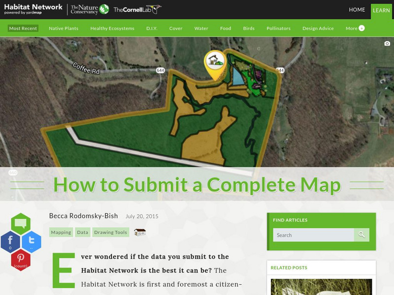
Habitat Network: How to Submit a Complete Map
Find out how to submit your local habitat map containing real data to an established citizen science project.
PBS
Pbs News Hour Extra: The Human Genome Project, a Decade Later
This article reviews advances made by medical researchers since the complete mapping of the human genetic code ten years earlier. Although the expectation then had been that cures could be found for many diseases based on this new...
Other
Theban Mapping Project: Anatomy of a Ancient Egyptian Tomb
A detailed analysis of the various architectural elements found in ancient Egyptian tombs located in the "Valley of the Kings."
TeachEngineering
Teach Engineering: Digital Mapping and Geographic Information Systems (Gis)
Geographic information systems (GIS), once used predominantly by experts in cartography and computer programming, have become pervasive in everyday business and consumer use. This unit explores GIS in general as a technology about which...
Texas Education Agency
Texas Gateway: Democracy Project: Honk if You Agree
In this extensive lesson, students will learn to identify issues of importance, form their opinions, and support those opinions with evidence and reason. They will also learn how to state their feelings in a persuasive manner.
University of Chicago
University of Chicago: The Giza Plateau Mapping Project
Resource focuses on the the geology and topography of the Giza plateau, the construction and function of the Sphinx, the Great Pyrimids, the associated tombs and temples, and the Old Kingdom town in the vicinity.
Alabama Learning Exchange
Alex: Land Surveying Project
This project resulted from of the collaboration of a computer aided drafting teacher, Chris Bond, and a math teacher, Lee Cable, (Hewitt-Trussville High School) to provide higher math expectations in CT and real life application in...
Lawrence Berkeley National Laboratory
Berkeley Lab: Genome Sciences
The LBN Laboratory uses the data generated by the Human Genome Project to actually map the genes within the decoded genome.
BSCS Science Learning
Bscs: Globe at Night Dark Skies
In this inquiry, students predict the best place to stargaze in Arizona based on the brightness of the night sky. Students are introduced to the concept of light pollution and Globe at Night, a global citizen science project in which...
BSCS Science Learning
Bscs: Globe at Night Dark Skies
In this inquiry, students predict the best place to stargaze in Arizona based on the brightness of the night sky. Students are introduced to the concept of light pollution and Globe at Night, a global citizen science project in which...
E Reading Worksheets
E Reading Worksheets: The Wizard of Oz
In this learning module, students will engage in a deep study of Frank Baum's The Wizard of Oz. Worksheets, a test, and map projects are provided to reinforce comprehension of The Wizard of Oz.
PBS
Pbs Teachers:death at Jamestown: Explore Jamestown
Explore the places, events and people associated with the Lost Colony of Jamestown with this interactive timeline and map. Examine artifacts and remains excavated by archeologists and learn what conclusions can be drawn from them.
Daily Teaching Tools
Daily Teaching Tools: More Free Graphic Organizers for Studying and Analyzing
A teaching resource with free downloadable graphic organizers including Time Organizers, Learning Maps, Project Internet, Concepts and Characteristics, Vocabulary Charts, Project Author Study, Decisions and Goals, and more.
Other popular searches
- 3 Different Map Projections
- Map Projections Worksheets
- Different Map Projections
- Map Projections Cylinders
- Globe and Map Projections
- Types of Map Projections
- Map Projections Explanation
- Map Projections Cyclinders
- Map Projections Mercator

