Hi, what do you want to do?






Curated OER
Where Is Rome?
Third graders discover Ancient Rome through maps and worksheets. In this world history lesson, 3rd graders locate Rome on a world map and identify the scope of the Roman Empire. Students label an entire map of Italy after...

Curated OER
Map Maker Map Maker
Students create their own maps. In this map making lesson, students go to Microsoft Word and create a chart. They label directions, buildings, streets, and distance.

Curated OER
Dinosaurs
Second graders classify and analyze living things by structure and function and make predictions based on observations rather than random guesses. They make predictions about where dinosaurs lived and correctly place their databases onto...

Curated OER
Navigating by the Numbers
Middle schoolers observe how math is important in navigation and engineering. They study how surveyors use math and science to calcute, count, measure, label, and indicate distances on a map. They estimate specific distances.

Curated OER
Sustainable Southern Belize: Coral Health Lesson Plan
Fifth graders investigate coral reefs and the dangers they face by labeling and drawing. In this oceanography lesson, 5th graders view a PowerPoint presentation of photographs of coral reefs in Belize. Students investigate...
TeachEngineering
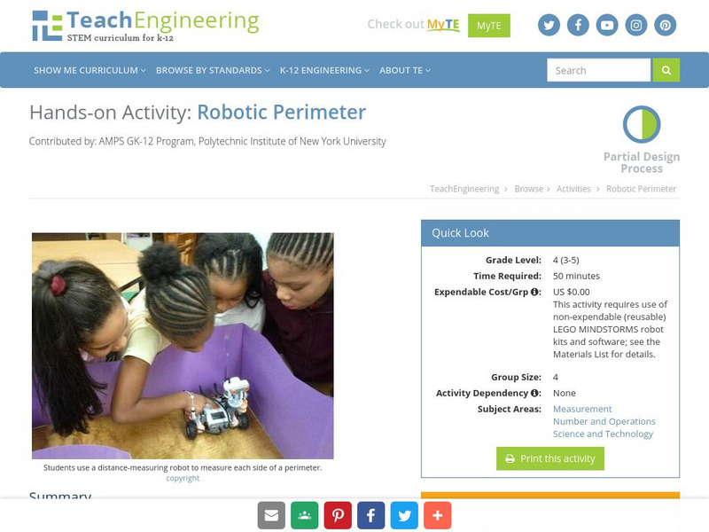
Teach Engineering: Robotic Perimeter
Students learn and practice how to find the perimeter of a polygonal shape. Using a ruler, they measure model rooms made of construction paper walls. They learn about other tools, such as a robot, that can help them take measurements....