Hi, what do you want to do?
Curated OER
Start with a Chart
Students use a given chart and the 50 state quarters to synthesize information about the 50 states and the dates that they were admitted into the union. Students complete a math worksheet while referring to the chart.
Curated OER
Get your Snow People Here
Students recall information from the story Snowballs to complete a story map. They also compare and contrast two Snow People and cooperatively create an original snow person.
Curated OER
DESIGNER GENES: ONE SIE FITS ALL?
Students explore genetic engineering and issues related to risks and benefits of altering agricultural products.
Curated OER
Will It Rain Today or Tomorrow?
Pupils examine how to forecast weather. They examine the different types of weather and learn the correct vocabulary.
Curated OER
Weather Wise
Students investigate weather and how to forecast it. They discuss the three types of clouds and the kind of weather they bring. After setting up a database, they reearch weather-related websites to check cloud conditions and weather...
Curated OER
Careers in Science
Stuents explore the current job market for scientists. They explore types of jobs, salary range and job requirements. Students write a letter of application for a particular job.
Curated OER
Passport to Courage
Students discuss the character trait of "courage of convictions" and apply this to their daily life. Using the internet, they research the life and work of Thomas McKean and discuss the courage needed to sign the Declaration of...
Curated OER
Let's Read and Read!
Students discover how to hold their mouths to form the /o/ sound and that it may be hidden in different words. They say /o/ and then repeat a tongue twister that contains many /o/ words and practice writing it on primary lined paper....
Curated OER
Tour + Workshop = DESIGN: Presenting Information
Students develop a business card to market them. For this developing a business card to market them lesson, students design a business card to represent them. Students create a logo or graphic design that is professional and...
Curated OER
Estimation Using Goldfish Crackers: Math
Second graders explore estimation and rounding concepts using goldfish crackers and a song! They solve problems by estimating and rounding numbers and pick numbers within reason to represent certain objects.
Curated OER
Immigration, Where Do We Go From Here?
Learners describe difference between immigration and emigration, and summarize impact that immigration and emigration have on a community.
PurposeGames
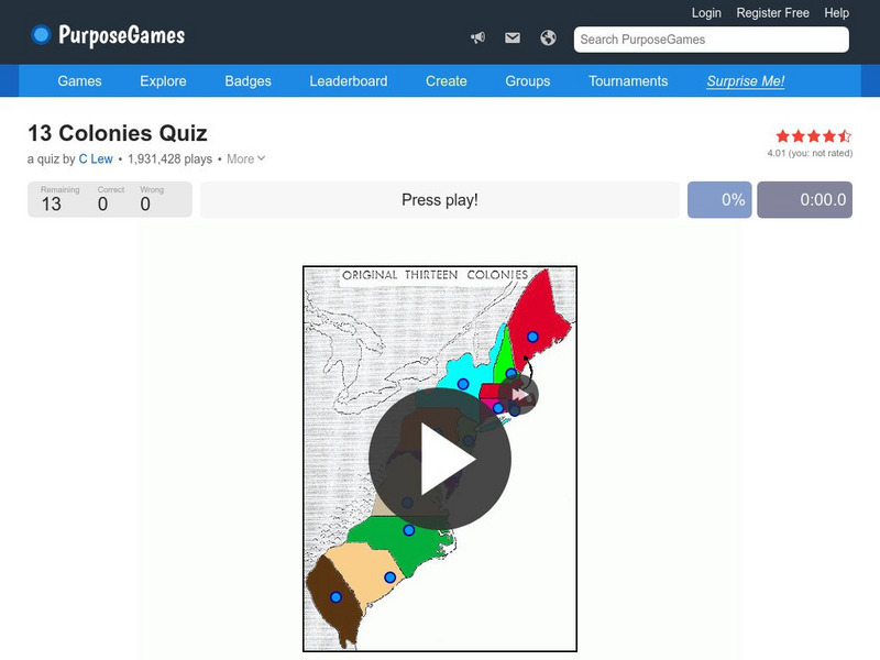
Purpose Games: Can You Identify the 13 Original Colonies of the Usa?
Play this interactive game to test your knowledge of the original thirteen colonies. Can you find them on a map?
Maps of Mexico
Virtual Picture Travel Map of Florida
Click on Florida and take a virtual tour of Daytona, Orlando, Cocoa Beach, West Palm Beach, Ft. Lauderdale, Miami, Key West, Naples, Fort Myers Beach, Fort Myers, St. Petersburg, Clearwater and Tampa. Visit places of interest such as the...
Maps of Mexico
Virtual Picture Travel Map of Florida
Click on Florida and take a virtual tour of Daytona, Orlando, Cocoa Beach, West Palm Beach, Ft. Lauderdale, Miami, Key West, Naples, Fort Myers Beach, Fort Myers, St. Petersburg, Clearwater and Tampa. Visit places of interest such as the...
BBC
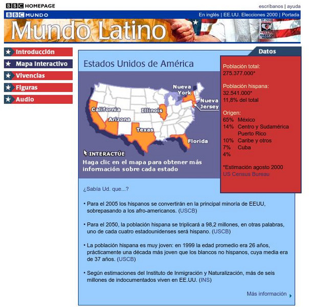
Bbc: Estados Unidos De America/united States of America
Review accurate and up to date statistics on the population of Hispanics in the United States. Click on the different states and find how Hispanics are becoming the number one minority in the United States.
Houghton Mifflin Harcourt
Holt, Rinehart and Winston: Estados Unidos
Easy-to-read Spanish map of the United States with country information below. A nice site with links to the States and the rest of the world's countries as well!
Other
First Gov: Official Portal of the u.s. Government
A launching point for information about the U.S. government and its resources. One can search FirstGov by keyword or phrase, by browsing a topics list, or by selecting a federal branch (executive, legislative, or judicial). State and...
Google
Google Maps: Grand Canyon, Usa
Explore the views of the Grand Canyon. This resource uses the Street View Trekker, a wearable backpack system that allows us to venture to locations only accessible by foot. It showcases areas of the Grand Canyon that otherwise would be...
Houghton Mifflin Harcourt
Holt, Rinehart and Winston: World Atlas: United States
Features a detailed map of the United States with some basic facts. Click on each state name to get even a more detailed map and information.
Digital Dialects
Digital Dialects: Geography Games: States of the Usa
Study a map showing the states in the USA, and then try to match their names to their locations on a blank map.
University of Texas at Austin
Perry Castaneda Library Map Collection: u.s. Maps
At this site find any type of map on the U.S. and any of its states here. Great site for teachers to print out maps to use in the classroom.
Texas Instruments
Texas Instruments: Navigating the Usa With the Coordinate Plane
The students will be plotting points on the United States Map. This background and activity could be used and/or modified to fit any social studies class. Students could explore topics ranging from graphing coordinates in pre-algebra to...
Information Technology Associates
Information Technology Associates: Quick Maps
View countries of the world. Maps are quick and easy to read. Some are designed to be printed out for coloring and/or labeling.
Enchanted Learning
Enchanted Learning: Alabama Facts, Map and State Symbols
Do you need information about Alabama? Find facts, a map, and state symbols. Pictures of many of the state symbols are included.


