Hi, what do you want to do?
Curated OER
Etc: Maps Etc: Automobile Routes of the Great Lake Vicinity, 1920
A map from the 1920 Automobile Club of Rochester showing automobile routes in the Great Lakes Region, around western Lake Ontario, and the Canadian portion of Lake St. Clair and southern Lake Huron. The map shows route numbers, mileages...
Curated OER
Educational Technology Clearinghouse: Maps Etc: Welland Canal, 1833 1871
A map from 1921 of the Niagara River area between Lake Ontario and Lake Erie showing the location of the Welland Canal bypassing the Niagara Falls. The Welland Canal, "a canal on the Canadian side of the Niagara River, connecting lakes...
Curated OER
Educational Technology Clearinghouse: Maps Etc: Northwest Territory, 1795
The Ohio Valley and Great Lakes region after the French and Indian War (1754-1763). The Northwest Ordinance of 1787 was the first organization of land in the United States after the first 13 colonies. This ordinance set the important...
Curated OER
Etc: Maps Etc: The Terminal Moraine (Eastern), Second Glacial Epoch
A map showing the terminal moraine of the second glacial epoch east of the Great Lakes region, including the glacial landscape features of Cape Cod and Nantucket, Long Island, the Catskills and Finger Lakes, and the extreme terminal...
Curated OER
Etc: Maps Etc: The Mississippi River Route of Hennepin, 1697
A facsimile of a portion of the map created in 1697 describing the exploration and discoveries of Father Louis Hennepin in New France and Along the Mississippi. The map shows the region from the Great Lakes to the Gulf of Mexico along...
Curated OER
Etc: Maps Etc: Sketch of the Niagara River Between Queenston and Chippewa, 1812
A map from 1832 of the Niagara River between Queenston and Chippewa. During the War of 1812, the Niagara region became an important battleground. Fort Niagara was located on the American side and Fort George was located on the Canadian...
Curated OER
Educational Technology Clearinghouse: Maps Etc: Granaries of the World, 1915
Grain production of four major continents.
Curated OER
Etc: Maps Etc: The War of 1812 on the Canadian Border, 1812
Location of the War of 1812 on the Canadian border.
Curated OER
Etc: Maps Etc: Territory of the Present United States After February 10, 1763
The territory of the (then-) present United States after February 10, 1763, color-coded to distinguish various claims to United States.
Curated OER
Etc: Maps Etc: Territory of the Present United States After September 3, 1783
The territory of the (then-) present United States after September 3, 1783, color-coded to distinguish various claims to United States.
Curated OER
Educational Technology Clearinghouse: Maps Etc: Lands of the Duke of York, 1664
Areas of the northeastern United States, granted by English King Charles II to his brother, the Duke of York, after seizing them from the Dutch. These lands were thus renamed New York.
Curated OER
Etc: The Country East of the Mississippi During the French Indian War, 1763 1783
The country east of the Mississippi during the French-Indian War, 1755-1763, color-coded to distinguish various claims to United States.
Curated OER
Coat of Arms, Lord Baltimore
Three maps of European settlement in Virginia, the Pacific Northwest, and the Spanish New World, and the accompanying official instructions from lenders and monarchs about the obligations, opportunities, and hopes that those...
National Humanities Center
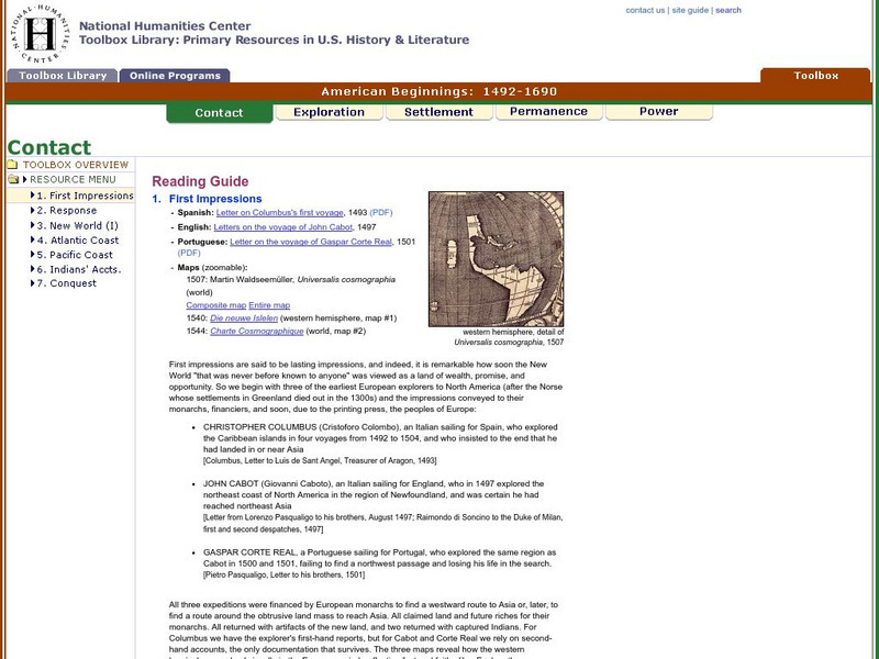
National Humanities Center: Toolbox Library: Contact: First Impressions
English, Spanish, and Portuguese maps and letters of about the voyages of Christopher Columbus, John Cabot, and Portuguese explorer, Gaspar Corte Real, which describe impressions of the lands explored.
Other
Vox: 37 Maps That Explain the American Civil War
April 1865 was a momentous month in American history. On April 9, the Confederate army under Robert E. Lee surrendered to the Union forces of Ulysses S. Grant, effectively ending the Civil War. Then on April 14, the victorious President...
National Humanities Center
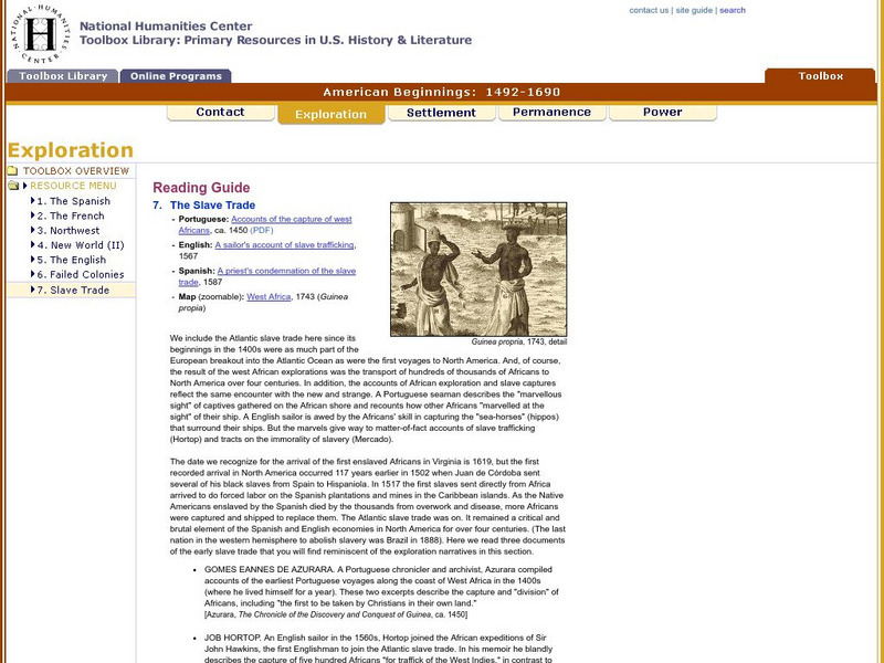
National Humanities Center: Toolbox Library: Slave Trade, American Beginnings: 1492 1690
A West African map and three accounts of the development of slave acquisition display the process and the brutality of the Atlantic slave trade.
National Humanities Center
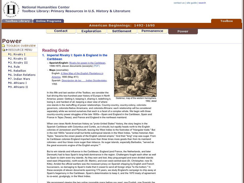
National Humanities Center: Toolbox Library: Rivalry I, American Beginnings: 1492 1690
Eleven documents and two maps detailing the almost two hundred year struggle between England and Spain for hegemony in the Caribbean.
National Humanities Center
National Humanities Center: Toolbox Library: Pacific Coast, American Beginnings: 1492 1690
Primary resources for U.S. history and literature offer two excerpts from the explorations of the Pacific coast by Sir Francis Drake and Vitus Bering as well as maps drawn to reflect those journeys. Includes questions for discussion.
National Humanities Center
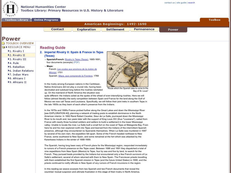
National Humanities Center: Toolbox Library: Rivalry Ii, American Beginnings: 1492 1690
Two eighteenth-century maps and four accounts of the mutual perceptions, suspicions, and observations between Spanish and French explorers on the Gulf Coast.
Curated OER
Kstrom: North America Native Pre Contact Housing Map
If you are researching the different kinds of housing of early native peoples, this site supplies an excellent colorcoded map. Detailed text and graphic drawings are included.
SMART Technologies
Smart: World Map
This lesson features a world map with labeled countries, a global map, and an interactive map of the seven continents.
Curated OER
Etc: Oregon Trail and Other Routes, 1832 1842
A map of western North America between the opening of the Oregon Trail in 1832 to 1842, prior to the establishment of the Provisional Government of Oregon by American settlers in 1843. The map shows the boundary of the Oregon Country,...
Curated OER
Etc: French and Indian Wars, 1754 1763
A map of the North American region of the French and Indian War (1754-1763) between the French and the British for territorial control. The map shows important places and major cities, towns, forts, and battle sites during the conflict.


