Hi, what do you want to do?
Curated OER
Educational Technology Clearinghouse: Maps Etc: Relief of North America, 1872
A base relief map from 1872 of North America, Central America, Greenland, and the Caribbean to Puerto Rico showing the general mountain systems, highlands, and plains of the region. Major river systems are shown.
Curated OER
Educational Technology Clearinghouse: Maps Etc: Relief of North America, 1909
A base relief map from 1909 of North America, Central America, Greenland, and the Caribbean to Puerto Rico showing the general mountain systems, highlands, and plains of the region. Major river systems are shown.
Curated OER
Educational Technology Clearinghouse: Maps Etc: North America, 1910
A map from 1910 of North America showing the Dominion of Canada, Greenland, the United States, Mexico, Guatemala, British Honduras (Belize), San Salvador (El Salvador), Honduras, Nicaragua, Costa Rica, Panama, and the islands of the...
Massachusetts Historical Society
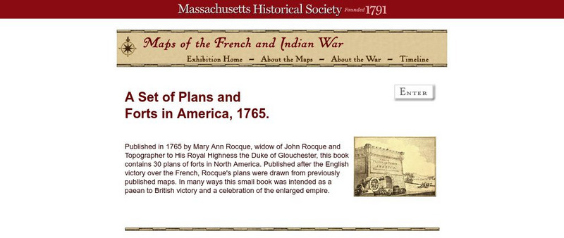
Massachusetts Historical Society: A Set of Plans and Forts in America, 1765
A digitized version of a book published in 1765 by Mary Ann Rocque, widow of John Rocque, topographer to the Duke of Glouchester. Contains images of the thirty plans of forts in North America. Published after the English victory over the...
Curated OER
Etc: European Colonization in North America, 1500 1700
A map of North America showing the European colonization in the region up to the year 1700. The map is color-coded to show the possessions of the British, French, Spanish, Dutch, Swedish, and Danish. The map shows the territory in...
Other
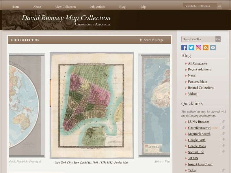
The David Rumsey Historical Map Collection
"The David Rumsey Historical Map Collection focuses on rare 18th and 19th century North and South America cartographic history materials. Historic maps of the World, Europe, Asia, and Africa are also represented. The collection...
PBS
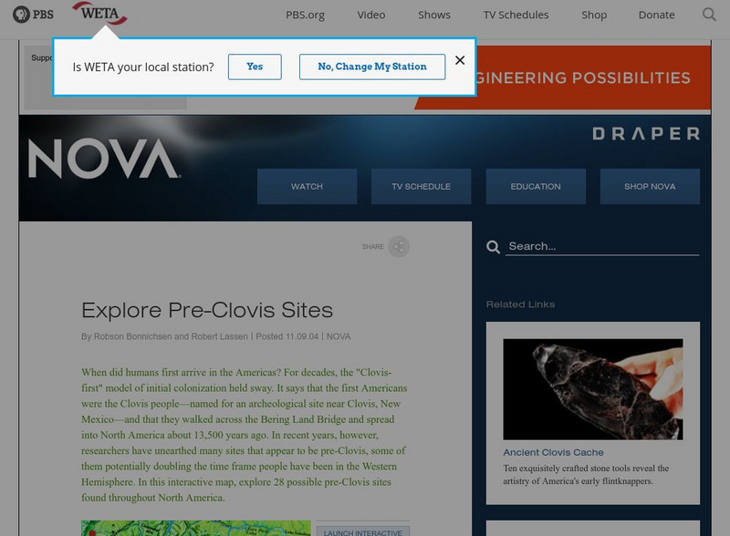
Nova: America's Stone Age Explorers: Before Clovis
A terrific map from NOVA showing pre-Clovis sites in North America. The key tells where the site is, what was found there, and when Paleoindians inhabited the site.
Library of Congress
Loc: Exploration and Knowledge: France in America
A bilingual article which discusses the French contribution to exploration in North America. Included are the reasons the French explored in the New World.
Other
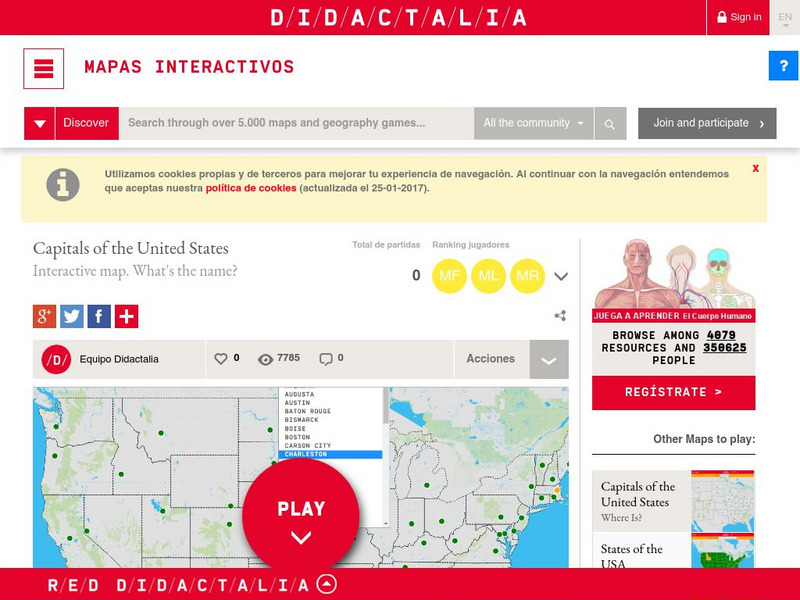
Didactalia: Interactive Map: Capitals of the United States
Interactive map and game to identify capitals of the U.S. states.
Curated OER
Etc: Maps Etc: Physical Map of South America, 1898
A map from 1898 of South America showing the general physical features including mountain systems, prominent peaks and volcanoes, river and lake systems, plateaus, and coastal features. The map includes an insert of the Isthmus of...
Curated OER
Etc: Maps Etc: Orographic Chart of North America, 1891
An orographic map from 1891 of North America showing the principal mountain systems, rivers, and terrain features of the region. The map is coded to show high lands and mountain regions, and shaded regions of plains, with dark lines...
Curated OER
Educational Technology Clearinghouse: Maps Etc: North America, 1909
North America, with Central America included.
Curated OER
Educational Technology Clearinghouse: Maps Etc: North America, 1915
North America including Canada, the United States, Mexico, Caribbean islands, Central America and a portion of South America, showing physical features.
Curated OER
Educational Technology Clearinghouse: Maps Etc: North America, 1899
A study map from 1899 using North America to illustrate various geographic terms commonly found on maps. The map shows examples of continent, river valley, peninsula, strait, bay, political boundary, lakes, island, ocean, cape, sound,...
Curated OER
Educational Technology Clearinghouse: Maps Etc: North America, 1914 1919
North America in 1919.
Curated OER
Educational Technology Clearinghouse: Maps Etc: North America, 1915
Political boundaries throughout North America.
Curated OER
Educational Technology Clearinghouse: Maps Etc: North America, 1782
A map of eastern North America at the end of the American Revolution, after numerous peace talks were held in Paris between the United States and Britain. This map shows the proposed new boundaries of the United States, English...
Curated OER
Educational Technology Clearinghouse: Maps Etc: North America, 1763
A map of eastern North America and the Greater Antilles showing the territorial possessions adjusted by the Peace of 1763 (Treaty of Paris) at the end of the French and Indian War (and the Seven Year War in Europe). The map is...
Other
Seterra: North and Central America: Countries Map Quiz Game
Test your knowledge and see if you can place all the countries in North America in their correct spot!
Ducksters
Ducksters: Geography for Kids: North American
Learn about North American countries and geography. The flags, maps, exports, natural resources, and languages of North American are found on this website.
Other
American Journeys: Map of the Spanish Entrada Into North America [Pdf]
Map showing the routes taken by fourteen Spanish explorers in the Americas between 1509 and 1543.
University of Georgia
University of Georgia: The United States of North America in 1796
A large map from 1796 of the U.S. States and Territories at the time.


