Hi, what do you want to do?
Curated OER
Educational Technology Clearinghouse: Maps Etc: Seat of War, 1812 1814
A map of the Great Lakes and New England region of North America showing the northern area of conflict during the War of 1812, including the important sites of Detroit, Buffalo, Lewiston, Queenstown, Ogdensburg, Battle of the Thames...
Curated OER
Etc: Maps Etc: Relief of the United States, 1910
A relief map from 1910 of the United States showing the physical features of the New England Highlands, Adirondacks, Appalachian Plateau and Mountains, Piedmont Plateau, Coastal Plains, Lake Superior Highlands, Red River Valley Plains,...
Curated OER
Etc: Atlantic Coast Development, 1650 1695
A series of maps showing the development and colonial claims of the northern Atlantic Coast between 1650 and 1695. The maps are color-coded to show charter colonies, proprietary colonies, and the royal colonies. The map from 1650 shows...
Curated OER
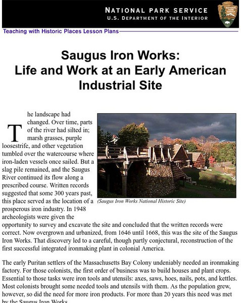
National Park Service: Saugus Iron Works: Life & Work at an Early American Site
Use this site to learn about life and work at an early American industrial site. Understand the need for iron ore for the early Puritans through excellent history info, an inquiry question, maps, images, readings, activities and more....
University of Groningen
American History: Outlines: The Colonial Period
The early settlers to the New World began to map strategy for their own system of government. This site details that strategy and what kinds of events spawned the idea of representative government.
Curated OER
Etc: Maps Etc: Comparative Areas of the United States and Other Countries, 1872
A map from 1872 of the United States used to illustrate the comparative area sizes of the states to other countries in the world. The map shows state and territory boundaries at the time (Dakota, Montana, Washington, Idaho, Wyoming,...
Curated OER
Etc: European Colonization in North America, 1500 1700
A map of North America showing the European colonization in the region up to the year 1700. The map is color-coded to show the possessions of the British, French, Spanish, Dutch, Swedish, and Danish. The map shows the territory in...
Curated OER
Etc: The Maine Boundary Dispute, 1798 1842
A map of the Quebec, New Brunswick, and Maine area showing the boundary dispute between England and the United States between 1798 and 1842. The map is color-coded to show the boundary claims of the British and United States after 1798,...
National Humanities Center
National Humanities Center: Toolbox Library: Rivalry I, American Beginnings: 1492 1690
Eleven documents and two maps detailing the almost two hundred year struggle between England and Spain for hegemony in the Caribbean.
SMART Technologies
Smart: Thirteen Colonies
Students will drag the name of each colony onto the map. Then drag the color coded stars to the New England, Middle, and Southern Colonies. Lastly, they will drag the important events to the colony in which it happened.


