Other
Italian Tourism: Discover Italy
Take a visual tour through the sights and regions of Italy. Click on the interactive map or a photo to access detailed information from throughout the country.
United Nations
Unesco: Early Christian Monuments of Ravenna
This World Heritage website features Ravenna in Italy, which was the center of the Roman Empire at one point, and later of the Byzantine Empire in Italy. Presented on this website are eight Christian buildings, and their mosaics, from...
University of Oregon
Mapping History: European History
Interactive and animated maps and timelines of historical events and time periods in European history from Greek and Phoenician colonization up to the 20th century.
Other
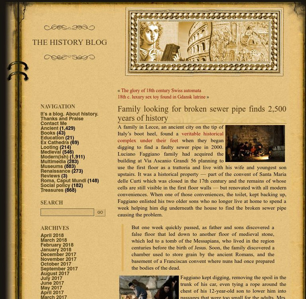
History Blog: Family Looking for Broken Sewer Pipe Finds 2,500 Years of History
A fascinating story about a family in Lecce, Italy, who made a major archaeological discovery while digging under their house to find the source of a problem in the pipes that led to a toilet. What they found instead was an entire...
United Nations
Unesco: Historic Centre of Urbino
This World Heritage website features Urbino, an important center for a short time during the Italian Renaissance that has been largely preserved. Found here are a description, links, maps, documentation, photos, and a video on its history.
United Nations
Unesco: Historic Centre of Florence
This World Heritage website features Florence, a focal point for the Italian Renaissance. Found here are a description, a map, documents, many photos, a video on its significance, and any indicators of threats to its preservation.
United Nations
Unesco: Historic Centre of Naples
This World Heritage website features Naples, first founded by the Greeks in 470 BC as Neopolis. Found here are a description of its long history, links, a map, documentation, photos, and any indicators of threats to its integrity.
United Nations
Unesco: Ferrara, City of the Renaissance, and Its Po Delta
This World Heritage website features Ferrara, a focal point for the Italian Renaissance in the 15th and 16th centuries. Ferrara is known as well as the place where modern town planning began. Found here are a description, a map,...
Curated OER
Science Kids: Science Images: Map of Italy
A map featuring Italy and its neighboring countries.
Other
Museum of International Folk Art: Carnival Around the World; Venice, Italy
From the exhibit "Carnaval Around the World" at the Museum of International Folk Art, we have a feature page on the celebration as it occurs in Venice, Italy. With a description, photos, map and audio clip this is a nice glimpse into...
Other
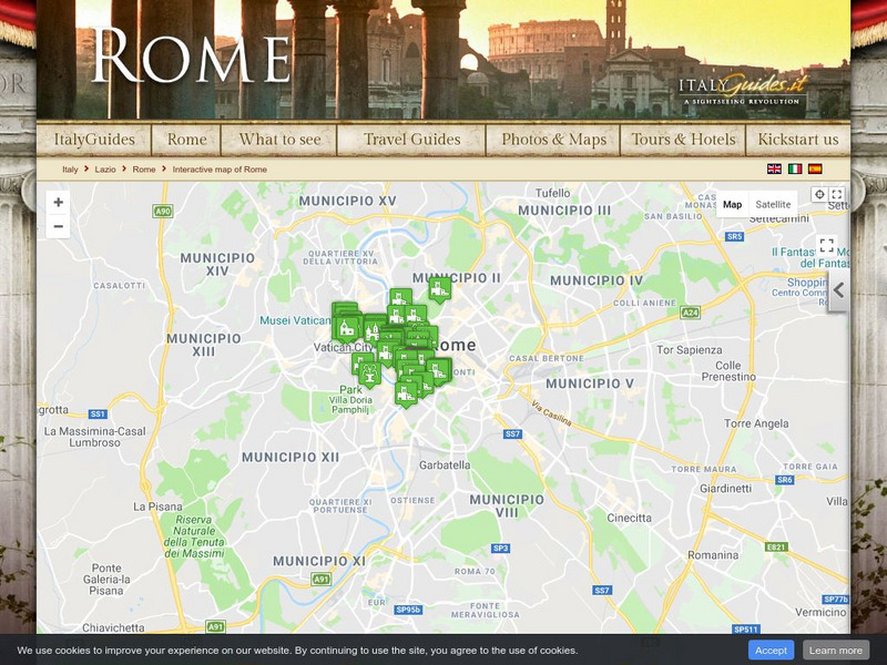
Italy Guides: Rome
Welcome to the 'Eternal City' of Rome, Italy! Although this is a commercial site, the interactive city map along with beautiful photos and links to historic areas make this informative for both students and educators.
Other
Italy Guides: Venice
Welcome to the beautiful city of Venice, Italy! Although this is a commercial site, the interactive city map with its many incredible photos and links to historic sights make it a useful tool for both students and teachers to learn about...
Curated OER
Educational Technology Clearinghouse: Maps Etc: Italy, 1914
A map of the Kingdom of Italy in 1914 subtitled "Made One Nation." This map shows the unification of Italy with dates and notations for annexation to the Kingdom of Sardinia (the founding state, which became the Kingdom of Italy in...
Curated OER
Educational Technology Clearinghouse: Maps Etc: Italy and San Marino, 1906
A map from 1906 of Italy, San Marino, and the islands of Corsica, Sardinia, and Sicily. The map shows provinces, principal cities and towns, railroads, mountains, rivers, and coastal features. An inset map details the Bay of Naples.
Curated OER
Etc: Maps Etc: Italy Divided by Augustus Into Eleven Regions, 7 Bc
A map of Roman Italy, or Italia in 7 BC, when, according to Pliny the Elder, Augustus Caesar divided Italia into eleven regions (regiones), Latium et Campania (I), Apulia et Calabria (II), Lucania et Brutii (III), Samnium (IV), Picenum...
Curated OER
Educational Technology Clearinghouse: Maps Etc: Italy, 1914 1919
A map from 1919 of Italy shortly after World War I. The map shows the 17 political divisions or Compartimenti, and the 69 provinces, and the northern boundaries at the time, including the territories of Trentino, Gorizia, Istria, and...
Curated OER
Etc: Map of Ne Italy Showing the Battlefields in Franco Italian War, 1521 1598
A map of northeastern Italy showing important battlefields of the Italian Wars (1495-1559) in the region. Sites include Fornovo (1495), Vicenza (1508), Agnadello (1509), Padua (1509), Modena (1510), Ravenna (1512), Marignano (1515),...
The History Cat
The History Cat: Treaty of Versailles: Peace Returns
Describes what happened at the end of World War I - the celebrations and the unnecessary final battles - as the Big Four (France, Britain, the United States, and Italy) sat down to begin negotiations for the Treaty of Versailles....
W. W. Norton
W.w. Norton & Company: Map of the Unification of Italy (1850S to the 1870s)
Map showing Italian unification. Illustrated key indicates when territory was acquired.
Curated OER
Etc: Italy During the War With Naples , 1798 1799
Map of Italy in 1799, subtitled "The War with Naples 1798-9." The map shows Italy at the time when the Kingdom of Naples briefly became the French-supported Parthenopaean Republic from January to June, 1799. The map shows the territory...
Curated OER
Etc: Maps Etc: Italia Up to the Time of Augustus, 27 Bc
A map of Italy prior to the ascension of Augustus Caesar in 27 BC. The map shows the Roman territories of the peninsula south of the Alps and east of the River Varus (Var), and includes the islands of Corsica, Sardinia, and Sicily, the...
Franco Cavazzi
Roman empire.net: Roman Italy Map
This site from Roman-Empire.net is an interactive map of Roman Italy. Areas, Regions, Tribes, Towns, Cities, Rivers, Lakes, and Mountains can be searched for with pull-down menus.
Other
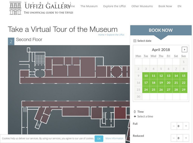
Virtual Uffizi Gallery: Take a Virtual Tour of the Museum
See the artwork located in the Uffizi Gallery in Florence, Italy. This resource brings the images to you. Just click on the room or topic and see background information and a link to the image.
US Holocaust Memorial Museum
U.s. Holocaust Memorial Museum: The Holocaust in Italy
The history of the Holocaust in Italy is generally well known, but to date there has been little systematic analysis of its spatial dimensions. The objective of this case study is to examine the Holocaust in Italy from a geographical...
Other popular searches
- Blank Map of Italy
- Choropleth Map of Italy
- Physical Map of Italy
- Landforms Map of Italy
- Worksheet Map of Italy
- Printable Map of Italy
- Outline Map of Italy
- Primary Map of Italy
- Unification of Italy Map


