Curated OER
Leonardo's Machines
Learners explore Leonardo da Vinci's ideas about design and machines.
Curated OER
Foreign Place Names Quiz
In this online interactive geography quiz worksheet, learners respond to 20 identification questions about foreign place names. Students have 4 minutes to complete the quiz.
Curated OER
Bubonic Plague
Students play Ring Around the Rosie, and learn what it means, also learning what time period it was from. In this Bubonic Plaque lesson, students answer discussion questions in small groups, then complete research to further answer...
Curated OER
"Asking for Tourist Information" (Italian)
Students listen to a dialogue in order to comprehend verbal directions in Italian. They work in pairs practicing giving directions to each other.
Curated OER
Airborne & Special Operations Museum- Grade 8
In this gallery scavenger hunt worksheet students answer 18 questions about the displays in the Airborne & Special Operations Museum.
Other
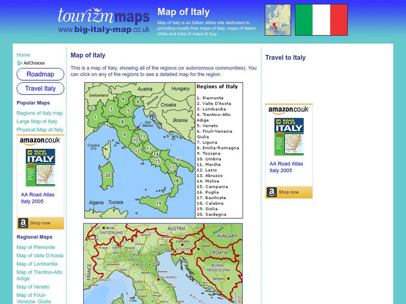
Tourizm Maps: Map of Italy
A map of Italy labeling the country's 20 different regions. Click on any region to get a full scale map of that specific area.
University of Texas at Austin
University of Texas: Historical Maps of Italy
Review these two maps of Italy during the Renaissance from the Perry Castaneda Collection. Zoom in to see the details of a map of the Milanese under the Visconti and one of the Republic of Florence.
Other
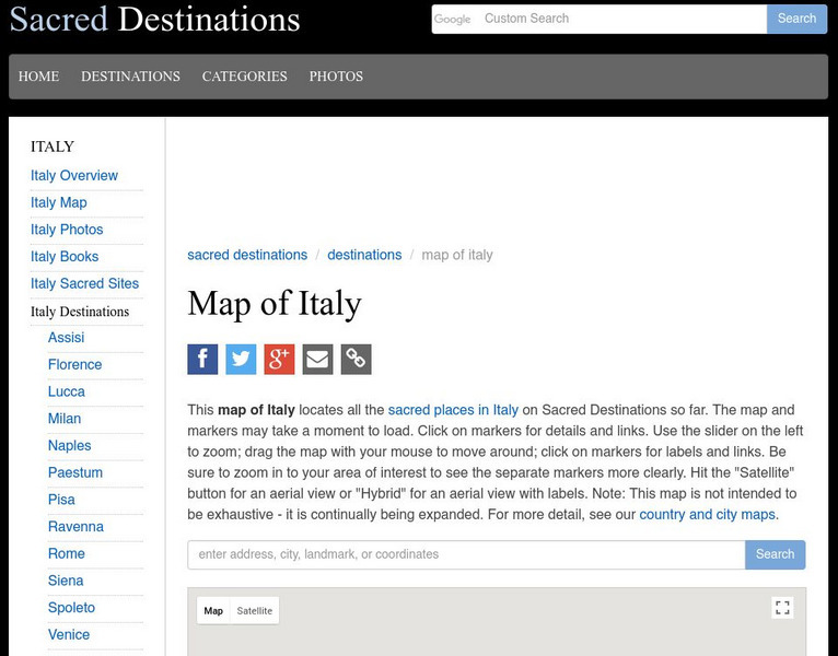
Sacred Destinations: Cities of Italy Map
Use this interactive map of Italy to take a virtual tour of the major cities and sights found in Italy. Click on any of the hotspots to get pop-up facts and photos.
Other
Italy Guides: Cities of Italy
Take a virtual tour of the many historic cities of Italy. Click on any city shown on the interactive map to view related facts and beautiful photos. Though a tourist site, the map and accompanying information is useful to anyone...
Forum Romanum
Outlines of Roman History: Introduction the Land and the People
This is the introductory chapter of Morey's 1901 textbook on Roman History. It sets out the geography of Italy and the Italic tribes who lived there. The text is old, but surprisingly easy to read and packs in a lot of information.
United Nations
Unesco: Interactive Map of the Cities Along the Silk Roads
A map showing the locations of cities that participated in trade along the Silk Roads, stretching from Italy to Japan. Each red dot is provides information about the location and links to a UNESCO page with more in-depth information...
Other
The World of Dante: Map Images
Interactive map images from Dante's "Inferno." With reproduced maps of Italy from the time of Dante's life (1300s).
Central Intelligence Agency
Cia: World Factbook: Italy
This resource from the CIA World Factbook provides a detailed fact sheet of Italy. The content covers the country's geography, people, government, economy, communications, transportation, military, and transnational issues. It includes...
Lizard Point Quizzes
Lizard Point: Italy: Regions Quiz
Try this interactive geography quiz which tests your knowledge about the regions of Italy.
Franco Cavazzi
Roman empire.net: Roman Empire Map
This site from Roman-Empire.net provides an interactive map of the Roman Empire. The expanse of the empire can be viewed by dates. The site can be searched by Provinces, Territories, Tribes, Towns, Cities, or Barbarian Incursions.
Curated OER
Educational Technology Clearinghouse: Maps Etc: Map of Italy, 275 b.c.
A map of Italy after 275 B.C. showing the extent of Roman control of the peninsula, and the Carthaginian control of Sicily, Sardinia, and Corsica before the Punic Wars. This map shows the Appian Way between Rome and Brundisium, important...
Nations Online Project
Nations Online: Italy
Offers a country profile and travel guide to beautiful Italy, background details, and numerous links to extensive information on the nation's culture, history, geography, economy, environment, population, news, government, and much more.
University of Calgary
U Calgary: Italy During the Decline of the Etruscan League and the Rise of Rome
A map showing the relative small size of Rome in relation to its neighbors in 380 BC. The Greek colonies are shown at the foot of the boot of Italy, the Etruscan League is to the north and the Italic Tribes to the east.
National Geographic Kids
National Geographic Kids: Find People and Places: Italy
Click-through facts-and-photo file about the geography, nature, history, people, culture, and government of Italy. Includes a map of this Western European country that pinpoints the location of this boot-shaped peninsula.
Other popular searches
- Blank Map of Italy
- Choropleth Map of Italy
- Physical Map of Italy
- Landforms Map of Italy
- Worksheet Map of Italy
- Printable Map of Italy
- Outline Map of Italy
- Primary Map of Italy
- Unification of Italy Map


