Other
Kingsnake: Vipera Aspis
Distributed throughout Europe, the Vipera aspis, is a venomous snake that preys mostly on rodents and lizards. Distribution map of Italy, pictures, and dimensions are included.
Curated OER
Flag of Italy
This is an online resource for information on Italy. The site includes a map and flag, government, population, languages, communications, economic summary, and a history of the country.
Curated OER
Etc: Rome and the Samnites, 343 290 Bc
Map of the vicinity of Rome showing the area claimed by the Samnites and the Greek city south of Rome: Capua.
Other
Rome Tourism: Rome Info
Rome Tourism presents a look at the city of Rome, Italy! From the many historic sights and attractions to the Vatican to maps and basic facts about Rome. Useful for a student researcher or a tourist to the area.
Curated OER
Etc: Maps Etc: The Breakup of Austria Hungary, 1918
A map showing the breakup of Austria-Hungary under the Treaty of Saint Germain (Austria) and the Treaty of Trianon (Hungary) at the close of the First World War. This map shows the newly established boundaries for the former territories...
Curated OER
Etc: Maps Etc: Comparative Areas of the United States and Other Countries, 1872
A map from 1872 of the United States used to illustrate the comparative area sizes of the states to other countries in the world. The map shows state and territory boundaries at the time (Dakota, Montana, Washington, Idaho, Wyoming,...
Curated OER
Educational Technology Clearinghouse: Maps Etc: Switzerland, 1914 1919
A map from 1919 of Switzerland shortly after World War I, showing the Canton boundaries at the time, major cities and towns, railroads, lakes, rivers, and mountain systems of the region, and the frontiers with France, Italy, Austria, and...
Curated OER
Educational Technology Clearinghouse: Maps Etc: Post Wwi Africa, 1918
This map is of Africa after World War I. The scramble by Italy, Belgium, and Germany to create colonies in order to keep up with the British, French, and Spanish Empires was played out in Africa, the last remaining continent yet to be...
Curated OER
Educational Technology Clearinghouse: Maps Etc: Ethnic Groups of Europe, 1916
A 1916 map showing the historic lands held by the various groups of Europe, including the Latin nations (Italy, France, Spain, and Portugal), Teutonic nations of Germany, Netherlands, Scandinavia, and which include the Celts of the...
Curated OER
Educational Technology Clearinghouse: Maps Etc: Europe, 1904
"Europe - Greece has the honor of being in the van of European civilization and power, but in the seventh century before Christ a rival sprang up in Italy, which in the course of time attained such vigor that Greece at last was humbled...
E-learning for Kids
E Learning for Kids: Science: Italy: How Can We Separate Solid Mixtures?
Help Rozalia clean her Pizzeria kitchen by using different methods to sort out mixtures.
Curated OER
Geology.com: Ireland Map Ireland Satellite Image
Check out this great satellite image of Italy from Google Earth. Scroll past the informative political map to see the image. There is more information about the country below the satellite map.
Columbia University
Columbia University: Renaissance Architecture
Learn about Renaissance architecture and explore 360 degrees panoramas of buildings in France, Italy, and Portugal. A few can also be explored through their architectural plans. Features one project that maps Venice's Renaissance art and...
Enchanted Learning
Enchanted Learning: Marco Polo
A brief account of the voyages and travels undertaken by Marco Polo who was one of the first Europeans to travel from Italy across Asia to China.
Curated OER
Kingsnake: Vipera Aspis
Distributed throughout Europe, the Vipera aspis, is a venomous snake that preys mostly on rodents and lizards. Distribution map of Italy, pictures, and dimensions are included.
Other
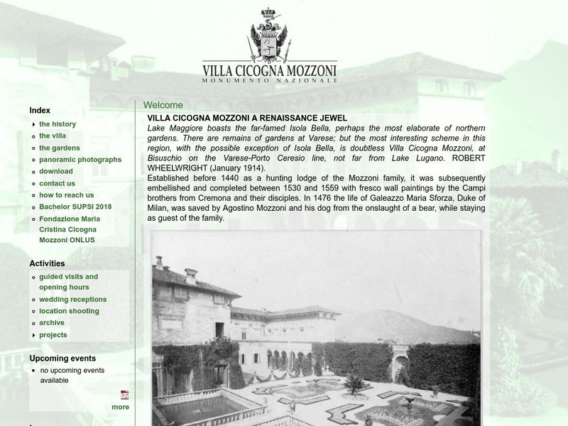
Villa Cicogna Mozzoni: A Renaissance Jewel
Learn about the renaissance villa on Lake Maggiore and Italian national monument site, the Villa Cicogna Mozzoni, in the main web-page for the villa. Full of historical information, maps, and photos.
Curated OER
Map 40: Southern Approaches to Europe
HIghlights the military strategy of the United States during World War II in fighting Germany and Italy.
Curated OER
Map 41: Northern Europe
HIghlights the military strategy of the United States during World War II in fighting Germany and Italy.
Curated OER
Ireland Satellite Photo
Check out this great satellite image of Italy from Google Earth. Scroll past the informative political map to see the image. There is more information about the country below the satellite map.
EL Education
El Education: An Immigrant Experience
As part of a Learning expedition on immigration, 4th grade students in Springfield, Massachusetts, created this series of interview booklets. Students, working together in small groups, interviewed a person who had immigrated to the...
Other popular searches
- Blank Map of Italy
- Choropleth Map of Italy
- Physical Map of Italy
- Landforms Map of Italy
- Worksheet Map of Italy
- Printable Map of Italy
- Outline Map of Italy
- Primary Map of Italy
- Unification of Italy Map


