Houghton Mifflin Harcourt
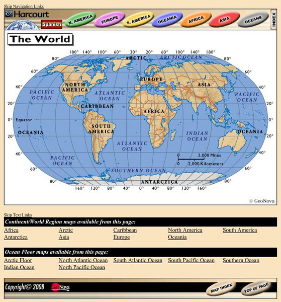
Harcourt: School Publishers: World Atlas: The World
Provides continent, country, and ocean floor maps from all over the world. Click on a continent's name to access the detailed maps which also include statistical facts on each available country.
Other
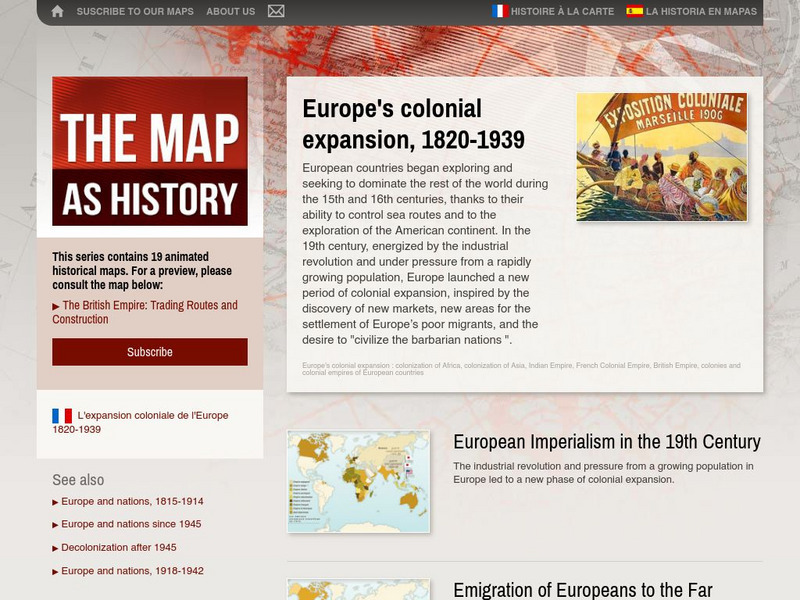
The Map as History: Europe's Colonial Expanision 1820 1939
European countries began exploring and seeking to dominate the rest of the world during the 15th and 16th centuries, thanks to their ability to control sea routes and to the discovery of the American continent. In the 19th century,...
Curated OER
Etc: Claims of Various European Countries to the Us, 1643 1655
A map of the eastern coast of North America showing territorial claims of Europeans and the development of the United Colonies of New England (New England Confederation) in 1643, and the territorial changes between the Dutch and British...
Curated OER
Etc: Maps Etc: European Possessions of Africa, 1906
A map of Africa after the Berlin Conference of 1885, which established the European colonial territory claims on the continent. This map shows the Belgian, British, French, German, Italian, Portuguese, and Spanish claims, and the Turkish...
Curated OER
Etc: Maps Etc: The Country East of the Mississippi, 1650
A map from 1872 of the country east of the Mississippi for the year 1650, forty-seven years after the settlement of Jamestown. This map shows early commencement of European settlement and the principal Native American tribal lands east...
Curated OER
Educational Technology Clearinghouse: Maps Etc: Colonial Africa, 1914
A map of Africa in 1914, showing the presence of European powers, including British, French, German, Portuguese, Spanish, Italian, and Belgian possessions. Native states, major cities and major railways are also shown. This map reflects...
Curated OER
Educational Technology Clearinghouse: Maps Etc: Post Wwi Northern Africa, 1920
A political map of the northern part of the African continent after WWI with reference to territories controlled by European countries and showing the former German territories ceded by the Treaty of Versailles to France and Britain....
Curated OER
Educational Technology Clearinghouse: Maps Etc: Europe, 1810
A colored outline map of Europe in 1810, when Napoleon was at the height of his power. The map shows the European countries that were controlled by France, allied with France, or independent of France. Territories are numbered and...
Curated OER
Educational Technology Clearinghouse: Maps Etc: Colonial Georgia, 1732 1763
A map of Colonial Georgia, showing the proclamation line of the original United States established at the end of the American Revolutionary War in 1763, the boundary when Georgia was established from the Carolinas as a buffer between the...
Curated OER
University of Texas: Iran: Peoples of Iran
See a map showing the various language groups that the peoples of Iran belong to. Click on the map to zoom in on the groups in Iran and in the neighboring countries. From the Perry-Castaneda Collection.
Curated OER
Map of Czech Republic
BBC News offers a broad overview of the European country country of the Czech Republic. Focus is on history, current information, country facts, political leaders, and news media. Provides links to a timeline of key events, recent news...
Curated OER
Map of France
BBC News features a general summary of the European country of France. Focus is on history, current information, country facts, political leaders, and news media. Provides links to a timeline of key events, recent news articles, videos,...
Curated OER
Map of Sweden
BBC News presents a general overview of the highly developed European country of Sweden. Focus is on history, current information, country facts, political leaders, and news media. Provides links to a timeline of key events, recent news...
Curated OER
Map of Turkey
BBC News features a broad overview of the European country of Turkey. Focus is on history, current information, country facts, political leaders, and news media. Provides links to a timeline of key events, recent news articles, and...
Curated OER
Map of Cyprus
BBC News presents a generic overview of the European country of Cyprus. Focus is on history, current information, country facts, political leaders, and news media. Provides links to a timeline of key events, recent news stories, images,...
Curated OER
Map of Poland
BBC News provides an interesting overview of the European country of Poland. Focus is on history, current information, country facts, political leaders, and news media. Provides links to a timeline of key events, recent news stories, and...
Curated OER
Map of Hungary
BBC News features a general overview of the landlocked European country of Hungary. Focus is on history, current information, country facts, political leaders, and news media. Provides links to a timeline of key events, recent news...
Curated OER
Map of Latvia
BBC News features an expansive overview of the European country of Latvia. Focus is on history, current information, country facts, political leaders, and news media. Provides links to a timeline of key events, recent news stories, and...
Curated OER
Map of Albania
BBC News offers a broad overview of the European country of Albania. Focus is on history, current information, country facts, leaders, and media. Provides links to a timeline of key events, internet resources, and recent news articles.
Curated OER
Map of Azerbaijan
Here at BBC News, you can learn some interesting facts about the European country of Azerbaijan. Topics include historical background, political leaders, news media, a timeline of key events, and related news stories.
Curated OER
Map of San Marino
BBC News features a detailed overview on one of the smallest European countries, San Marino. Content includes historical background, facts at a glance, information on current political leaders, news media, a timeline of key events, and...
Curated OER
Map of Liechtenstein
The BBC features an overview of the tiny European country of Liechtenstein including key facts, historical background, information on political leaders and the news media, and a timeline of key events. Also provides links to recent news...
Curated OER
Map of Austria
The BBC features an overview on the European country of Austria including key facts, historical background, information on political leaders and the news media, and a timeline of key events. Also provides links to recent news stories and...
Curated OER
Map of Irish Republic
The BBC features an overview on the European country of Ireland including key facts, historical background, information on political leaders and the news media, and a timeline of key events. Also provides links to recent news stories and...


