Hi, what do you want to do?
Curated OER
Old Kids From The Bloc
Students study about wide scale construction and development in Moscow and its impact on cultural and historic preservation. They research the political, social, economic, and cultural changes in the former Eastern Bloc and create a...
Curated OER
High Mountains Quiz
In this online interactive geography quiz worksheet, students respond to 18 identification questions about the highest mountain ranges in the world. Students have 4 minutes to complete the quiz.
Curated OER
Prairie Voices: German Immigrants Move to Iowa
Students create historically accurate travel journals. In this Iowa history lesson, students research the German immigration experience as they write travel journals that feature a German family's move into an Iowa county.
Curated OER
Africa: Promise and Peril
In this African independence activity, students read a Jr. Scholastic article and respond to 21 short answer questions. The article is not included.
Science Struck
Science Struck: A to Z List of European Countries and Their Capitals
Presents a map and an alphabetical list of all the European countries and their capital cities.
Wisc-Online
Wisc Online: European Union
This is an animated resource that lists countries that have joined the European Union. Includes dates and maps of the countries.
Science Struck
Science Struck: How Many Countries Are There in Europe?
Presents a map and a list of all the European countries, along with their capitals, land area, population, language, and currency.
Curated OER
University of Texas: Iran: Peoples of Iran
See a map showing the various language groups that the peoples of Iran belong to. Click on the map to zoom in on the groups in Iran and in the neighboring countries. From the Perry-Castaneda Collection.
Ducksters
Ducksters: Geography for Kids: European Countries
Learn about Europe and the countries of Europe. Facts such as geography, flags, maps, exports, natural resources, and languages are on this website.
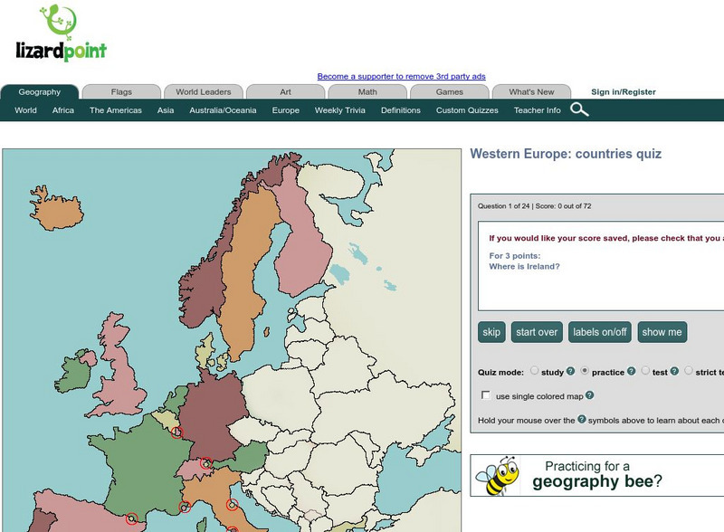
Lizard Point Quizzes
Lizard Point: Western Europe: Countries Quiz
Test your geography knowledge by taking this interactive quiz over the countries of Western Europe.
University of Oregon
Mapping History: American History
Interactive and animated maps and timelines of historical events and time periods in American history from pre-European times until post-World War II.
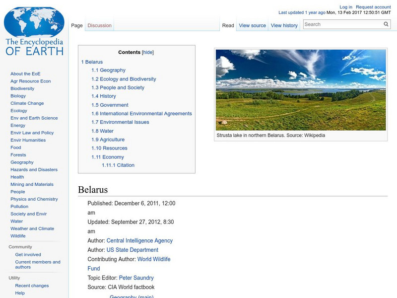
Encyclopedia of Earth
Encyclopedia of Earth: Belarus
Provides an overview of Belarus, including its geography, natural resources, history, government, economy, and much more. Maps and images are also included, along with sources used to create the entry.
Encyclopedia of Earth
Encyclopedia of Earth: Iceland
The Encyclopedia of Earth provides an overview of Iceland, including its geography, natural resources, history, government, economy, and much more. Maps and images are also included, along with sources used to create the entry.
Encyclopedia of Earth
Encyclopedia of Earth: Bosnia and Herzegovina
Provides an overview of Bosnia and Herzegovina, including its geography, natural resources, history, government, economy, and much more. Maps and images are also included, along with sources used to create the entry.
Encyclopedia of Earth
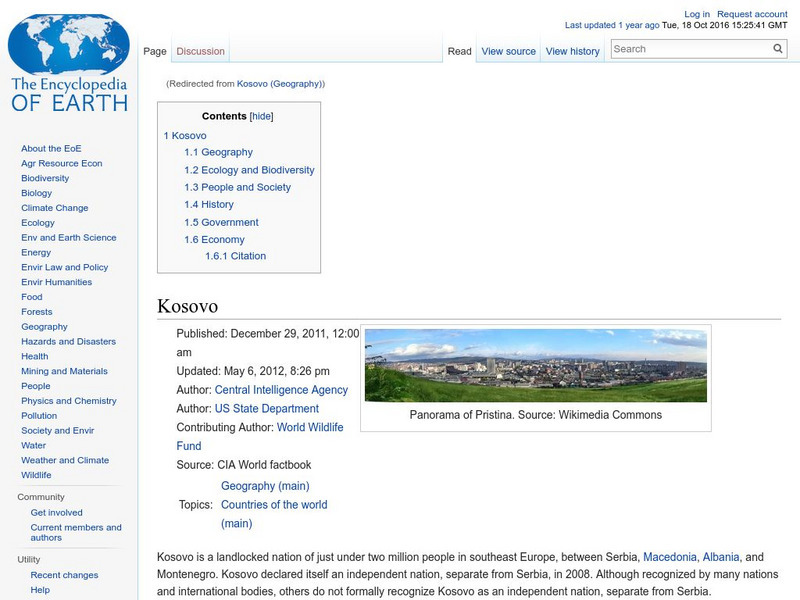
Encyclopedia of Earth: Kosovo
The Encyclopedia of Earth provides an overview of Kosovo, including its geography, natural resources, history, government, economy, and much more. Maps and images are also included, along with sources used to create the entry.
Encyclopedia of Earth
Encyclopedia of Earth: Ireland (Republic)
The Encyclopedia of Earth provides an overview of Ireland (Republic), including its geography, natural resources, history, government, economy, and much more. Maps and images are also included, along with sources used to create the entry.
Encyclopedia of Earth
Encyclopedia of Earth: Czech Republic
The Encyclopedia of Earth provides an overview of Czech Republic, including its geography, natural resources, history, government, economy, and much more. Maps and images are also included, along with sources used to create the entry.
Encyclopedia of Earth
Encyclopedia of Earth: Bulgaria
The Encyclopedia of Earth provides an overview of Bulgaria, including its geography, natural resources, history, government, economy, and much more. Maps and images are also included, along with sources used to create the entry.
Curated OER
Etc: Maps Etc: European Possessions of Africa, 1906
A map of Africa after the Berlin Conference of 1885, which established the European colonial territory claims on the continent. This map shows the Belgian, British, French, German, Italian, Portuguese, and Spanish claims, and the Turkish...
Curated OER
Etc: Maps Etc: The Country East of the Mississippi, 1650
A map from 1872 of the country east of the Mississippi for the year 1650, forty-seven years after the settlement of Jamestown. This map shows early commencement of European settlement and the principal Native American tribal lands east...
Other
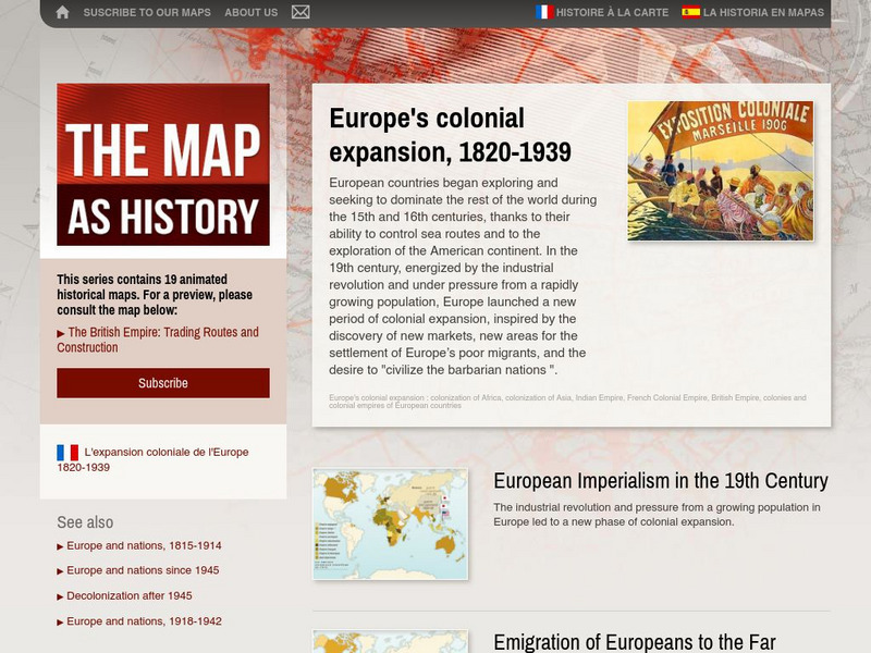
The Map as History: Europe's Colonial Expanision 1820 1939
European countries began exploring and seeking to dominate the rest of the world during the 15th and 16th centuries, thanks to their ability to control sea routes and to the discovery of the American continent. In the 19th century,...
Digital Dialects
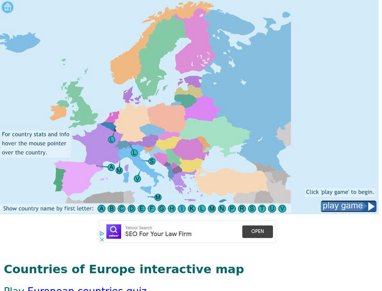
Digital Dialects: Geography Games: Countries of Europe
Study a map showing the countries in Europe, and then try to match their names to their locations on a blank map.
Cool Math
Coolmath: Coolmath Games: Map Snap: Europe
You are presented with an outline map of Europe and you must place each country in its correct position. It clicks into place if you're in the right spot. You may want to start with the practice mode which has the shape outlines of the...
Other
Ordnance Survey: Map Zone
All kinds of fun and interesting ways to learn about maps and acquire mapping skills.


