Curated OER
Educational Technology Clearinghouse: Maps Etc: Relief Map of Australia, 1890
"Australia is the smallest of the six large land-masses which are now classified by most geographers as continents.
Encyclopedia of Earth
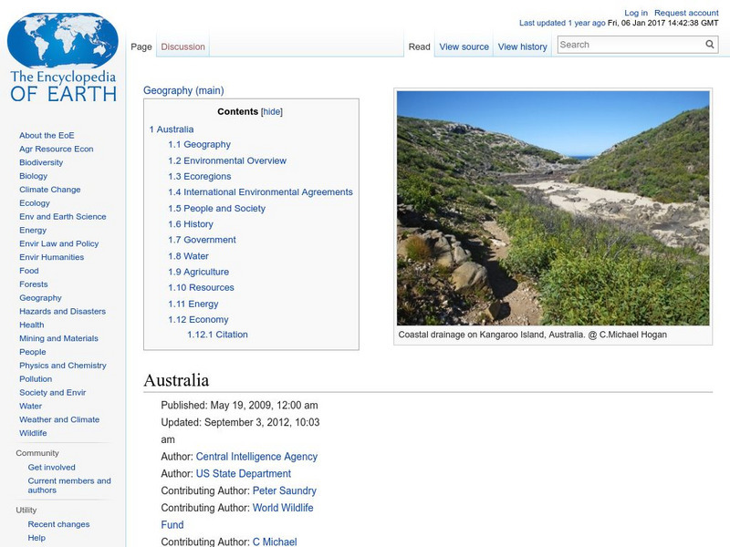
Encyclopedia of Earth: Australia
The Encyclopedia of Earth provides an overview of Australia, including its geography, natural resources, history, government, economy, and much more. Maps and images are also included, along with sources used to create the entry.
Other
Kids World Travel Guide: Australia
Here are some interesting Argentina facts which were chosen and researched by kids, especially for kids. Includes history, maps, geography, attractions, animals, people, language, and food.
Other
National Museum of Australia: Voyaging With a Needle: Embroidered Maps
Hand-embroidered map samplers, the work of women needle workers from the eighteenth and nineteenth centuries, convey what was known of the world at the time and traces the routes of explorers, such as James Cook, who were then active....
Curated OER
Educational Technology Clearinghouse: Maps Etc: Landforms of Australia, 1885
A color relief map of Australia showing the mountain and highland systems of Australia, including the Australian Alps, and the central lowlands. This map also shows the Murray River and other major rivers and lakes.
Curated OER
Etc: Maps Etc: Land Elevations of Australia, 1906
A physical map of Australia in 1906, showing general land elevations as lowlands in green, over 1,000 feet in buff, and over 4,000 feet in red. Also included on the map are political divisions.
Curated OER
Educational Technology Clearinghouse: Maps Etc: Animals of Australia, 1906
A pictorial map of Australia showing animals found in the various regions.
Ducksters
Ducksters: Geography for Kids: Oceania and Australia
Learn about the region of Australia, Oceania, and its countries on this website. Find out about the flags, maps, exports, natural resources, geography, and languages of Oceania.
Other
Asia Society: Policy
A comprehensive storehouse of all types of information on Asia, both current and past: maps and statistics, Asian food, travel guides, photographs, articles, timelines, and more. Asia Source is the work of the Asia Society, a national...
Curated OER
University of Texas: Norfolk Island: Political Map
A small political map of Norfolk Island, a territory of Australia.
Curated OER
Map of Australia
Explore the geography, history, government and facts of Australia. Maps and current flag are included.
Curated OER
Map of Australia
From the BBC, an overview of the Asia-Pacific country of Australia. Presents a map, timeline, facts at-a-glance, and information on leaders and the media. For fun, listen to the Australian national anthem.
Curated OER
Etc: Maps Etc: Rainfall in Australia in July, 1915
A map from 1915 of Australia showing mean rainfall distribution throughout the region in July, given in inches of precipitation. The map is color-coded to show the areas of sparse, moderate, and heavy rainfall.
Curated OER
Etc: Maps Etc: Rainfall in Australia in January, 1915
A map from 1915 of Australia showing mean rainfall distribution throughout the region in January, given in inches of precipitation. The map is color-coded to show the areas of sparse, moderate, and heavy rainfall.
Curated OER
Educational Technology Clearinghouse: Maps Etc: Commonwealth of Australia, 1920
A political map of the Commonwealth of Australia in 1920, showing states and territories, major cities and ports, existing and proposed railways, steamship routes and distances, rivers, and mountain systems.
Curated OER
Etc: Maps Etc: Physical Features of Australia, 1901
A map from 1901 of Australia showing the physical features of the region.
Curated OER
Etc: Australia Density of Population, 1915
A map from 1915 of Australia showing the population density of the region at the time. This map is keyed to show areas of population densities ranging from under 2 inhabitants per square mile to areas of over 128 inhabitants per square...
Curated OER
Educational Technology Clearinghouse: Maps Etc: Plants of Australia, 1906
Plants found in Australia.
Curated OER
Etc: Maps Etc: Political Map of Australasia, 1919
A political map of Australasia from 1919 showing the territories and states of Australia at the time, major cities, towns, and ports, rivers, lakes, mountain systems, reefs, and coastal features. The map includes New Zealand, New...
Curated OER
Etc: Maps Etc: Great Archipelagoes and the Australian Colonies, 1879
A map from 1889 showing Malaysia, Melanesia, Australia, New Zealand, and a portion of Micronesia and Polynesia.
Curated OER
Etc: Maps Etc: New South Wales, Victoria, and Tasmania, 1920
A map of New South Wales, Victoria, and Tasmania in 1920 showing counties, cities, ports, railroads, cables and major overland telegraph lines, rivers, mountains, and coastal features.
Curated OER
Educational Technology Clearinghouse: Maps Etc: Australasian Chain, 1873
A map from 1873 showing the Australasian chain of islands from the Malay Peninsula to New Zealand. The map is keyed to show: (I) Sumatra; (II) Java; (III) Sumbawa; (IV) Flores; (V) Timor; (VI) Borneo; (VII) Celebes; (VIII) Ceram; (IX)...
Curated OER
Educational Technology Clearinghouse: Maps Etc: Australasian Island Chain, 1890
A map from 1890 showing the Australasian chain of islands from the Malay Peninsula to New Zealand. "The Australasian Chain sweeps in a double curve from the Sunda Islands to New Zealand, and consists of a number of parallel...
Google
Google Maps: Great Barrier Reef, Australia
With these vibrant and stunning photos, you don't have to be a scuba diver-or even know how to swim-to explore and experience the Great Barrier Reef.
Other popular searches
- Australia Outline Map
- Australia Map
- Australian Map/regions
- Australia Map Skills
- Australian Map
- Australia Geography Map
- Social Studies Australia Map
- Australian Rainforest Map
- Label Map of Australia
- Australia Map Game
- Australian Rain Forest Map
- Australia Map Worksheet


