The Newberry Library
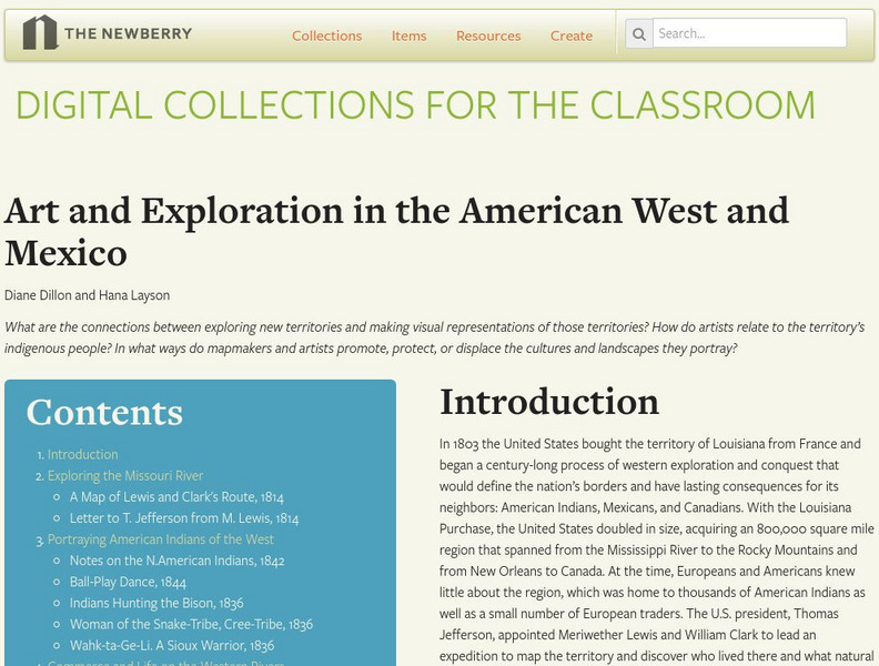
Newberry Library: Art and Exploration in the American West and Mexico
Lesson on the 19th Century representation through art and maps of indigenous population and territory of the American West and Mexico. Primary source documents and questions for discussion are included.
American Association of Physics Teachers
Com Padre Digital Library: Open Source Physics: Logistic Map Fixed Points Model
Simulation of a logistic map with fixed points where the user can manipulate periodic trajectories and observe the results.
Other
Nyc.gov: Ny City Map
Enter an address or area into NYCityMap and not only will it be highlighted on the map, but you will also be able to find schools, libraries, hospitals, parks, markets, wifi hotspots, etc. that are in close proximity to the address.
Texas State Library and Archives Commission
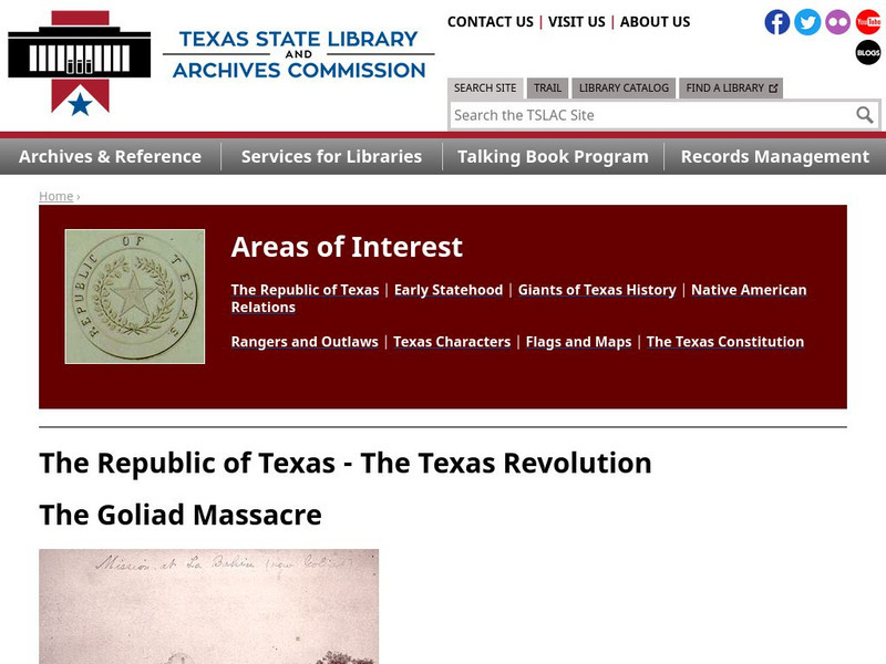
Texas State Library and Archives Commission: The Goliad Massacre
Political infighting among Texas politicians doomed military strength. In this Texas Library site read about the Goliad Massacre, which was a result of that confusion. Click on the maps and documents to seen enlargements. Links are...
Other
Free Library: Centennial Exhibition Digital Collection: Philadelphia, 1876
Commemoration of the 1876 Centennial hosted in Philadelphia which was the first major World's Fair. Features a timeline of historical background, an interactive map and a collection of historical images and primary sources.
National Institutes of Health
National Library of Medicine: 2009 H1 N1 Flu (Swine Flu)
Everything you ever wanted to know about H1N1 flu which is commonly called Swine Flu. Includes federal responses, state responses, international resources, guidance for professionals, maps, news, twitters, webcasts, veterinary resources,...
Brigham Young University
Harold B. Lee Library: The World War I Document Archive
Explore this archive of primary source documents from World War I. Content includes maps, photographs, various peace treaties, diary notes, official papers and more.
American Museum of Natural History
American Museum of Natural History: Digital Library: Congo Expedition: 1909 15
A rich-media website that traces a major expedition into the Belgian Congo (the present-day Democratic Republic of the Congo) at the dawn of the twentieth century. Includes maps, diary entries, specimens, and recordings as well as a...
Folger Shakespeare Library
Folger Shakespeare Library: Study Guide: Macbeth
A comprehensive study guide for teaching Shakespeare's Macbeth. Includes the a synopsis, a character map, historical context, a thematic study, and pre/post viewing activities. Links to re-mixing scenes from Macbeth, and an insider's guide.
Stanford University
Stanford University Library: Hart Project
Explore the collection of 364 photographs which are plotted within this 3-D map experience recreating Alfred A. Hart's journey along the Central Pacific Railroad. The goal of his 1860s expedition was to solicit investment in the...
Other
Digital Library for Earth System Education: Teaching Box: Earthquake Country
A suite of lessons focusing on all aspects of earthquakes. Inquiry-based exploration of earthquakes includes measuring seismic waves, predicting earthquakes, investigating magnitude and intensity, mapping fault lines, and evaluating...
Library of Congress
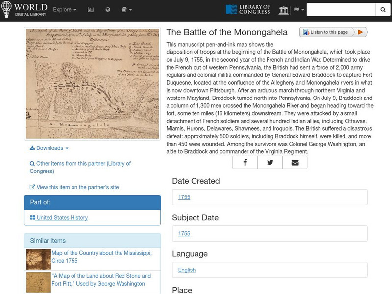
World Digital Library: The Battle of the Monongahela
A map showing military positions at the start of the Battle of Monongahela in 1755, during the French and Indian War. A feature on the page allows the visitor to listen to and read the accompanying descriptive text in seven different...
Colorado State University
Colorado State University Libraries: Garst Collection: Animal Geography
Interactive map for discovering which animals live on which continent.
Huntington Library
Huntington Library: Causes of the American Revolution: Stamp Act Crisis [Pdf]
In this lesson, 5th graders look at what role the Stamp Act played in the lead-up to the American Revolution. Includes background information for the teacher. Students learn about taxes, study a timeline and maps, participate in a...
Huntington Library
Huntington Library: The Corps of Discovery: The Lewis and Clark Expedition [Pdf]
In this lesson, 5th graders learn about westward expansion and the Lewis and Clark expedition. Includes background information for the teacher. Students explore primary and secondary resource readings on the Louisiana Purchase, President...
Brown University
John Carter Brown Library: Champlain's America: New France and New England
An exhibition marking the 400th anniversary of the founding of Quebec by Samuel de Champlain. It discusses Champlain's determination and drive to explore North America, and to plant French roots in the Canadian landscape. Images of...
British Library
British Library: Discovering Literature: Romantics & Victorians Collection Items
Discover a wealth of original sources from the Romantic and Victorian periods, including original manuscripts, rare first editions, newspapers, diaries, letters, photographs, and maps.
British Library
British Library: 20th Century Literature: Collection Items
Discover a wealth of original sources from 20th-century literature, including manuscripts, first editions, newspapers, diaries, letters, photographs, and maps.
University of Chicago
University of Chicago Library: Teaching the Middle East: Resource for Educators
An overview of the cultures, contributions, history, peoples, and geography of the Middle East developed specifically for educators. Learning modules, essays, maps, scholarly perspectives, resource and image banks, framing questions, and...
Curated OER
University of Texas: Asia 1808
This 1808 map from the library of University of Texas shows Asia. Notice the names of countries that are still in use, but also notice the former names of some countries.
University of Texas at Austin
Ut Library Online: Historical Map Collection
This extensive collection from the University of Texas Library Online of detailed maps of many regions of the Earth.
University of Texas at Austin
University of Texas: Perry Castaneda Library: Brazil Maps
Presents a great collection of maps all having to do with Brazil. There are country maps, city maps, and thematic maps that cover topics such as politics, geography, economy, land use, population, climate, and more.
University of Texas at Austin
Perry Castaneda Library Map Collection: Americas Historical Maps
This collection from the University of Texas Library Online of historical maps contains a wide variety of maps from various parts of the continent and from different parts of history. Each map is accompanied by a brief description and is...
University of Texas at Austin
Perry Castaneda Library Map Collection: Historical Maps of Australia
These incredible historical maps from the University of Texas Library Online provide a clear and detailed account of Australia's history. They also include maps of New Zealand and Tasmania.
