Library of Congress
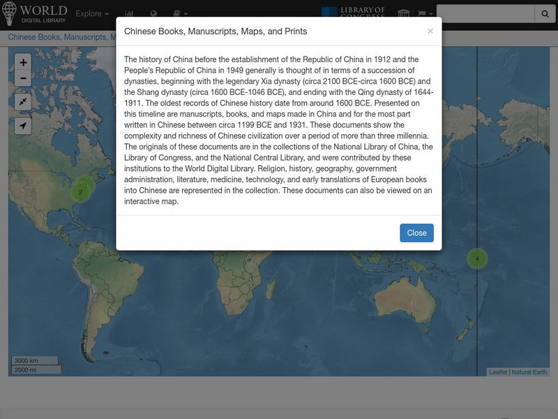
World Digital Library: Chinese Books, Manuscripts, Maps, and Prints: Map
A collection of primary source materials linked to a map that explore the history of China from 1200 B.C. to 1931. This is a world map with links on other continents as well, so zoom into China and click on a numbered circle. A popup...
University of Texas at Austin
Perry Castaneda Library Map Collection: Jordan
The Perry-Castaneda Library at the University of Texas provides an outstanding collection of maps of the country of Jordan. Also links to maps from other online sources.
Library of Congress
World Digital Library: United States History: Map
A collection of primary source materials linked to a map that explore a wide scope of events in the history of the United States from 1492 on. Click on any numbered circle and a popup appears showing one or more thumbnails and where the...
Library of Congress
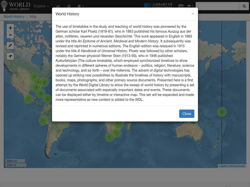
World Digital Library: World History: Map
A collection of primary source materials linked to a map that explore a wide scope of events in the history of the world. Click on any numbered circle and a popup appears showing one or more thumbnails and where the material is located....
University of Texas at Austin
Perry Castaneda Library Map Collection: Afghanistan
Here you will find a collection of maps of Afghanistan from the Perry-Castaneda Collection. There are political maps, relief maps, cultural maps, historical maps, and links to maps on other sites.
Library of Congress
Loc: Civil War Maps
The Library of Congress provides a large collection of maps dating back to the Civil War. The collection consists of reconnaissance, sketch, coastal, and theater-of-war maps which depict troop activities and fortifications during the...
Library of Congress
Loc: Zoom Into Maps
What can we learn from maps? How can we use maps? How can we best read maps? Find out the answers to these with detailed explanations of making the most of maps presented to us. Examples of historical, pictoral, miratory, etc. types of...
Library of Congress
Loc: Civil War Maps: History of Mapping the Civil War
Investigate the importance of mapping to both the Union and the Confederates in planning their military strategy. From the Library of Congress.
University of Texas at Austin
Ut Library: Perry Castaneda World War Ii Maps
An excellent collection of WWII maps. Scroll down for selections from the European Theater of the war.
University of Texas at Austin
Ut Library: Perry Castaneda Maps of North Carolina
A collection of city maps, historical city maps, and maps of national parks, monuments, and historic sites in North Carolina.
University of Texas at Austin
Ut Library: Perry Castaneda Maps of New York
A collection of maps of the state of New York, including links to city maps, historical city maps, and maps of National Parks, Monuments, and historical places.
University of Georgia
University of Georgia: Hargrett Library Rare Map Collection: American Civil War
This collection of rare Civil War maps enhance the study and learning of the Civil War. They provide a wealth of insight into the war and helps to better understand the events that occurred. A great resource for teachers and an exciting...
University of Texas at Austin
Univ. Of Texas Libraries: Perry Castaneda Map Collection
A collection of maps detailing every area of Asia from every viewpoint.
University of Texas at Austin
University of Texas Libraries: Russia and the Former Soviet Republics Maps
Collection of maps (political, geographic, thematic, topographic, etc.) related to Russia and the former Soviet Union.
University of Texas at Austin
Perry Castaneda Library Map Collection
Maps from all over the world can be printed from this site. Find historical maps of the world; thematic maps; and world, continent, country, state, and county maps for your use.
University of Texas at Austin
Ut Library: Perry Castaneda Maps of West Virginia
A collection of West Virginia maps, including city maps and maps of national parks, monuments, and historic sites.
University of Texas at Austin
Ut Library: Perry Castaneda Maps of Maryland
A collection of current and historic maps of Maryland along with maps of cities and national parks in the state.
University of Texas at Austin
Ut Library: Perry Castaneda Maps of Connecticut
Includes two maps of the state as well as several topographic maps of cities in Connecticut and one historic map of New Haven in 1920.
University of Texas at Austin
University of Texas: South Africa Map Collection
The Perry-Castaneda Library Map Collection from the University of Texas provides an assortment of maps from South Africa detailing its provinces, politics, and relief. Content also includes various historical, city, and territory maps.
University of Texas at Austin
Ut Library: Perry Castaneda Maps of Virginia
A collection of maps of the state of Virginia. Includes historical and city maps, and maps of places such as Cumberland Gap, Glen Echo Park, and Great Falls Park.
University of Texas at Austin
Ut Library: Perry Castaneda Maps of New Hampshire
A collection of maps of the state of New Hampshire, including a few maps of cities and important national monument and historical areas.
University of Texas at Austin
Ut Library: Perry Castaneda Maps of Ohio
A collection of state, city and historical maps of Ohio. Also includes maps of national parks and monuments in the state.
University of Texas at Austin
Ut Library: Perry Castaneda Maps of Alabama
Here you will find state and city maps (including outline and topographical maps) of Alabama. Also includes historical maps and maps of Alabama's National Parks.
University of Texas at Austin
Kashmir Maps
Specially prepared maps from the Perry-Castaneda Library Map Collection.
