Curated OER
I Had To Tell This Story
Tenth graders analyze the video "Berga: Soldiers of Another War." For this World History lesson, 10th graders read a quote and discuss the meaning of the quote. Students read and answer questions based on a video
Curated OER
Discover the Planets
Third graders research the planets. In this science lesson, 3rd graders create PowerPoint presentations over a planet. Students present their findings.
Curated OER
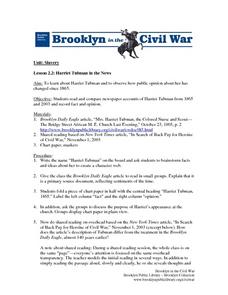
Harriet Tubman In The News
Students investigate the history of Harriet Tubman. They use newspaper articles from history and modern times in order to gather information. They use a graphic organizer in order to categorize information. They distinguish the readings...
University of Texas at Austin
Perry Castaneda Library Map Collection: Korea Maps
The Perry-Castaneda Library at the University of Texas provides an outstanding collection of maps of the country of both North and South Korea. Also links to maps from other online sources. PDF's (require Adobe Reader).
University of Texas at Austin
Perry Castaneda Library Map Collection: Israel
The Perry-Castaneda Library at the University of Texas provides an outstanding collection of maps of the country of Israel. Also links to maps from other online sources.
University of Texas at Austin
Perry Castaneda Library Map Collection: Japan
The Perry-Castaneda Library at the University of Texas provides an outstanding collection of maps of the country of Japan. Also links to maps from other online sources.
University of Texas at Austin
Perry Castaneda Library Map Collection: Iran
The Perry-Castaneda Library at the University of Texas provides an outstanding collection of maps of the country of Iran. Also links to maps from other online sources.
University of Texas at Austin
Perry Castaneda Library Map Collection: Iraq
The Perry-Castaneda Library at the University of Texas provides an outstanding collection of maps of the country of Iraq. Also links to maps from other online sources.
Library of Congress
Loc: Hotchkiss Civil War Era Maps
A collection of 341 Civil War Era Maps by Jedediah Hotchkiss, a topographic engineer in the Confederate Army. Most of the maps are of places in Virginia.
University of Texas at Austin
University of Texas: Perry Castaneda Library: Canada Maps
The University of Texas at Austin provides an extensive collection of maps relating to Canada. Links are given for maps of Canada on many other web sites.
The Newberry Library
Newberry: Exploration and Encounter: Map 2: Indian Map of the Southeast, 1721
K-12 lessons using historical maps from Newberry Library presents an Indian map of the Southeast, ca. 1721. Students use maps to understand how spatial relationships are represented. Links to supplemental resources and reference material.
Library of Congress
Loc: Maps of Cities and Towns
Looking for old maps of somewhere in the United States? Check out this huge collection of maps! Search by the name of a city or town, another keyword, subject, title, or geographic location.
Texas State Library and Archives Commission
Texas State Library and Archives Commission: The Movement Comes of Age: Suffrage Map, Austin Woman Suffrage Association
Here is an interesting "Suffrage Map," showing which states had granted women the right to vote by 1913. Read how the women's voting movement was, unfortunately, soiled by racism, as shown through the map's text, "Won't You Help Us Make...
University of Texas at Austin
University of Texas: Perry Castaneda Library: Colorado Maps
Features a vast collection of a variety of different maps all representing the state of Colorado. View state maps, city maps, historical maps, National Park maps, and more.
University of Texas at Austin
The Perry Castaneda Library Map Collection
This collection contains more than 250,000 maps covering all areas of the world, and ranging from political and shaded relief maps to the detailed and the historical. Select from a region of the world or an area of highlighted interest.
Library of Congress
Loc: Map Collections 1500 2002
This collection provides maps dating back to 1500 up to the present. The collection includes: cities, towns, discovery and exploration, conservation and environment, military battles, cultural landscapes, transportation, communication,...
University of Georgia
University of Georgia: Hargrett Library: Rare Map Collection
The Hargrett Library at the University of Georgia offers visitors the opportunity to view images of over 800 maps that go back almost 500 years. Researchers get a first-hand look at the lives of early Americans with these original maps...
University of Texas at Austin
Perry Castaneda Library Map Collection: Tennessee Maps
A listing of online historical and current maps for the State of Tennessee. Part of the Perry-Castaneda Library Map Collection.
University of Texas at Austin
Perry Castaneda Library Map Collection: Mexico Maps
This site provides a wealth of maps relating to the country of Mexico.
Library of Congress
Loc: Mapping the National Parks
A rich and historically significant collection of maps of various national parks throughout the United States. Features special sections on Yellowstone, Acadia, the Grand Canyon and the Smoky Mountains. Includes historical photographs of...
University of Texas at Austin
Perry Castaneda Library Map Collection: Maps of Bangladesh
The Perry-Castaneda Library at the University of Texas provides an outstanding collection of maps of the country of Bangladesh. PDFs (require Adobe Reader).
University of Texas at Austin
Perry Castaneda Library Map Collection: Indonesia
The Perry-Castaneda Library at the University of Texas provides an outstanding collection of maps of the country of Indonesia. PDFs (require Adobe Reader).
Library of Congress
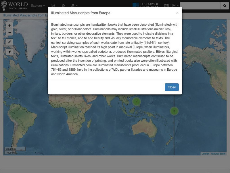
World Digital Library: Illuminated Manuscripts From Europe: Map
A collection of primary source materials linked to a map that showcase illuminated manuscripts from 764 to 1889 that are in European museums and libraries. Click on a numbered circle and a popup appears showing one or more thumbnails and...
Library of Congress
World Digital Library: Imperial Russia: Map
A collection of primary source materials linked to a map that showcase the state of the Russian Empire in the 1800s. Click on any numbered circle and a popup appears showing one or more thumbnails of cards that highlight the unique...


