Hi, what do you want to do?
Texas Instruments
Texas Instruments: Map It!
In this activity, students explore map making. Students' read a story, identify the locations of different places in the story, decide the distance between each set of places in the story, and create a map with a legend.
SMART Technologies
Smart: Final Project Map Skills
This lessons explores the different ways we can view our world along with the different parts of a map or globe.
US Geological Survey
Usgs: Map Adventures Lesson 4 Symbols and Legends
This lesson plan offers detailed instructions on the types and uses of map symbols.
ClassFlow
Class Flow: Map Key
[Free Registration/Login Required] This flipchart introduces the purpose of a map, map symbols, and the map key or legend. Activote questions reinforce the concepts.
ClassFlow
Class Flow: Map Skills Germany
[Free Registration/Login Required] In this lesson map skills are reinforced by identifying physical features in Germany. Mountains, rivers, lakes, and land elevation are discussed. Political maps identify population and cities.
TeachEngineering
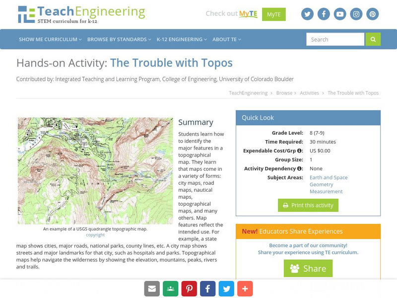
Teach Engineering: The Trouble With Topos
Students learn how to identify the major features in a topographical map. They learn that maps come in a variety of forms: city maps, road maps, nautical maps, topographical maps, and many others. Map features reflect the intended use....
Curated OER
Educational Technology Clearinghouse: Maps Etc: Barlow's Map, 1785
An English facsimile of a map issued by Joel Barlow in Paris (1787) of the area north of the Ohio River, showing the essential parts of a map with his proposals to induce immigration, but the legends are turned into English from the...
Curated OER
Educational Technology Clearinghouse: Maps Etc: New York City, 1746
Landmarks of New York City in 1746. The legend is as follows: (A) The Fort; (B) The Chapel; (C) Secretary's office; (D) The Great Dock; (E) Port of Nutten Island; (F) Port of Long Island; (G) Dutch Church; (H) English Church; (I) The...
Other
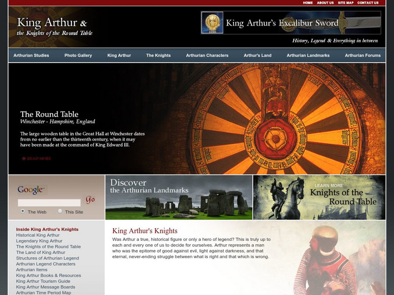
King Arthur and the Knights of the Round Table
This website is devoted to King Arthur and the Knights of the Round Table including the historic Arthur vs the legendary Arthur, the Knights, Arthurian characters, a map of Arthur's land, Arthurian landmarks, and a photo gallary.
Royal British Colombia Museum (Canada)
Royal British Columbia Museum: Thunderbird Park
This online exhibit explores the transformation of British Columbia's Thunderbird Park, a park established to display totem poles and other carvings by the First Nations' people. Interactive "maps" documenting the park's history from...
A&E Television
History.com: How Far Did Ancient Rome Spread?
Legend has it that Romulus and Remus -- twin brothers who were also demi-gods -- founded Rome on the River Tiber in 753 B.C. Over the next eight and a half centuries, it grew from a small town of pig farmers into a vast empire that...
Other popular searches
- Map Legends and Symbols
- Map Legends First Grade
- Interpreting Map Legends
- Reading Map Legends
- Creating Map Legends
- Using Map Legends
- Semantic Map Legends
- Teaching Map Legends
- Lessons on Map Legends
- Math Using Map Legends


