Curated OER
Reading Contour Maps
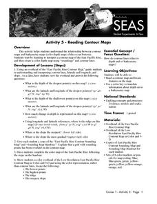
Students examine contour maps and bathymetry maps and discover how to interpret a contour map of the East Pacific Rise. Students look at a map as a class and answer questions together before working independently on a map of the East...
Curated OER
Mini - Lesson #5: Get To Know - Mapping
Students examine and draw landscape maps. In this mapping activity, students investigate what a landscape map is. They draw a map showing objects on a small piece of natural landscape. Students fill in a grid sheet and a worksheet to...
Curated OER
Cemetery Mapping Lesson
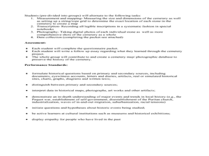
Eighth graders explore historical records. In this cemetery mapping lesson plan, 8th graders analyze local community data as they examine gravestones and read epitaphs.
Curated OER
Location, Location, Location: Using a Grid to Determine Context
Seventh graders are introduced to making inferences about artifacts. Using a grid system, they locate the artifacts and determine where they originated from. They use this information to make conclusions about the way people lived...
Curated OER
Making Topographic Maps and Mountain Profiles
Young scholars study how to mark inclines and construct a mountain profile. In this topographic map lesson students mark contour intervals and draw mountain profiles.
Curated OER
Finding Your Way on the Farm
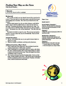
Third graders make a grid map. In this directionality lesson plan, 3rd graders review how to use a grid to locate objects or places on a map. Students draw a grid map of the classroom and locate seating assignments. Students create a...
Curated OER
Latitude and Longitude
Learners demonstrate how to locate places on a map using a grid. In this map skills lesson, students are introduced to latitude and longitude lines. Learners define these terms and view a large map of a state. Students come up to the map...
Curated OER
Absolute Location
Fifth graders examine the geographic concept of absolute location. Using a variety of resources, they create a life-size classroom grid and locate the coordinates of a point, identify latitude and longitude of different locations, and...
Curated OER
Where in the World
Students explore the global grid system. In this globe lesson, students identify latitude and longitude lines and how these can tell the coordinates of any place. They use the Internet to find the exact coordinates for their town.
Curated OER
"Yarning" About Latitude and Longitude
Students identify various locations using latitude and longitude. In this map skills lesson, students use yarn and labels to create a "human globe." Students identify the Prime Meridian, the Equator, and Northern and Southern Hemisphere.
Curated OER
All About the Animals
Whose footprints are those? After reading Janet Halfmann's book, Little Skink's Tail, young scholars use footprints to determine where on a gridded map certain animals have been spotted. They use the map to answer 3 questions, one...
Compton Unified School District
How Can We Locate Places?
How can we locate places? Maps, of course! Expose second graders to the tools available in maps and discuss how these tools can help people find locations. Students also look at communities, including what makes a community and the...
Curated OER
What do Maps Show?
Eighth graders practice the skill of reading maps. In this geography lesson, 8th graders participate in a classroom lecture on how to read a map.
Curated OER
MAP Practice
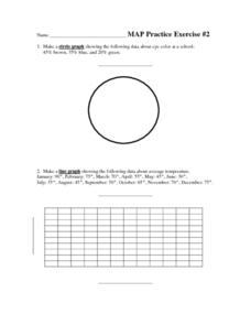
In this geometry worksheet, students create circle, line and bar graphs using different comparisons of events. There are 24 questions with an answer key.
University of Southern California
What Is The Ocean?
Go on a tour of the ocean through the lens of a scientist. Learners read maps of the ocean floor, study tide behavior, examine wave motion, and analyze components of soil. Each lesson incorporates a hands-on component.
Curated OER
Mapping and Excavating a Jello Mold
Students simulate how archaeologists excavate sites by "searching" their own site in the form of a Jello mold. They use a grid to map the objects in the Jello mold as well as looking at three layers of Jello to understand stratigraphy...
Curated OER
Cookie Mapping
Students study the components of a bedrock geology map through a hands-on activity involving a cookie and graph paper.
Curated OER
Distances on Coordinate Grids
In this grid worksheet, 5th graders use a grid map with coordinate points to answer six questions regarding distance between locations.
Curated OER
Important Decisions Don't Just Happen! Using Data to Plan Your Services
Students interpret statistics. In this data lesson, students examine and organize given data. They present the data in a grid format. Using the census data, students determine the best location for a local business.
Curated OER
Of Maps and Worldviews
Young scholars explore Ptolemy's world map as an expression of the Renaissance view of the world.
Curated OER
Mapping the Local Community
Students review the symbols and legends of a map. In groups, they follow a set of directions to create a map showing the route to a specific place. They present their map to the class and review the basic components of a community.
Curated OER
Introduction to WorldWatcher: Coloring Temperature Maps
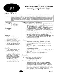
Learners are introduced to the software program WorldWatcher. In groups, they discover the temperature variations throughout the world and color a map according to the temperatures. They also practice using visualization to communicate...
Alabama Learning Exchange (ALEX)
Sonar Mapping of the Ocean Floor
Eighth graders participate in an experiment that emulates a sonar signal bouncing off the ocean floor. They determine how the ocean floor is measured by the length of time it takes for the sonar signal to return. They work with a wooden...
Curated OER
Gotham Equinox
By looking at the direction of the parallel streets of New York and figuring which days the setting sun is directly visible along those lines, your class can calculate the degree and angle of the sun. A really nice lesson, giving a photo...


