Curated OER
Regents High School Examination: Physical Setting Earth Science 2008
Throughout this earth science exam, high-school geologists complete a series of multiple choice and short answer questions about the solar system, atmosphere, and earth system. This is an amazing test, as are all of the exams developed...
Curated OER
Contour Map Worksheet #2
Following a contour map of a hill, a stream, and the ocean, are five multiple choice questions. Earth science enthusiasts determine elevation, direction of water flow, distance, and steepness. They also match the map to a selection of...
K-State Research and Extensions
Water
How are maps like fish? They both have scales. The chapter includes six different activities at three different levels. Scholars complete activities using natural resources, learn how to read a map, see how to make a compass rosette,...
Curated OER
Maps Reinforcement
In this map worksheet, middle schoolers complete 6 multiple choice questions and 5 short answer questions about 3 different map figures.
Curated OER
Regents High School Examination: Physical Setting Earth Science 2009
Junior geologists address 50 multiple choice questions and 35 short answer questions about the earth system. Plenty of visuals are included for interpretation: diagrams, graphs, maps, photographs, laboratory setups, weather symbols, and...
Curated OER
Regents High School Examination: Physical Setting Earth Science 2006
Test your class on earth science with this extensive resource. This test, created by The University of the State of New York Regents, is made up of 50 multiple choice questions and 32 short answer questions that cover the branches of...
Curated OER
Contour Map Worksheet #3
Earth scientists answer five multiple choice questions about the topographical map atop the worksheet. Use this as a quick assessment of understanding after having taught how to read contour lines and topographic maps.
Curated OER
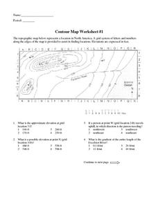
Contour Map Worksheet #1
Being able to read a topographic map is a standard in middle school earth science units and imperative for outdoor enthusiasts. As you introduce learners to this skill, you can assign this as an assessment or reinforcement. Pupils view a...
Curated OER
Making Maps
In this map making worksheet, learners learn about the science of making maps, which is cartography. They then answer the 11 questions on the worksheet. The answers are on the last page.
Curated OER
Worksheet for Analysis of a Map
For this primary source analysis worksheet, students respond to 6 short answer questions that require them to analyze the maps of their choice.
Curated OER
Viewing Earth and Sky
In this earth and sky worksheet, learners review terms associated with map reading. Students also review topographic maps and how contour lines represent elevation. This worksheet has 5 matching, 5 true or false, 5 fill in the blank, and...
Curated OER
Playdoh Mountains
In this mountain building worksheet, students use playdoh to create mountain features. They cut apart the mountain and then use the pieces to create a topo graphic map of their mountain.
Curated OER
Archaeology Volunteers
In this archaeology worksheet, students read about 4 tasks involving archaeologists. Students also answer 3 questions about the reading.


